
What is SpaceTimeOS?
SpaceTimeOS is an operating system for physical spaces. It combines hardware, software, APIs, and SDKs to digitize a building, understand how people and things move, and make real-world operations programmable and intelligent.
 contact us
Make your physical operations fully digital, programmable and intelligent

 iOS 27
 GitHub


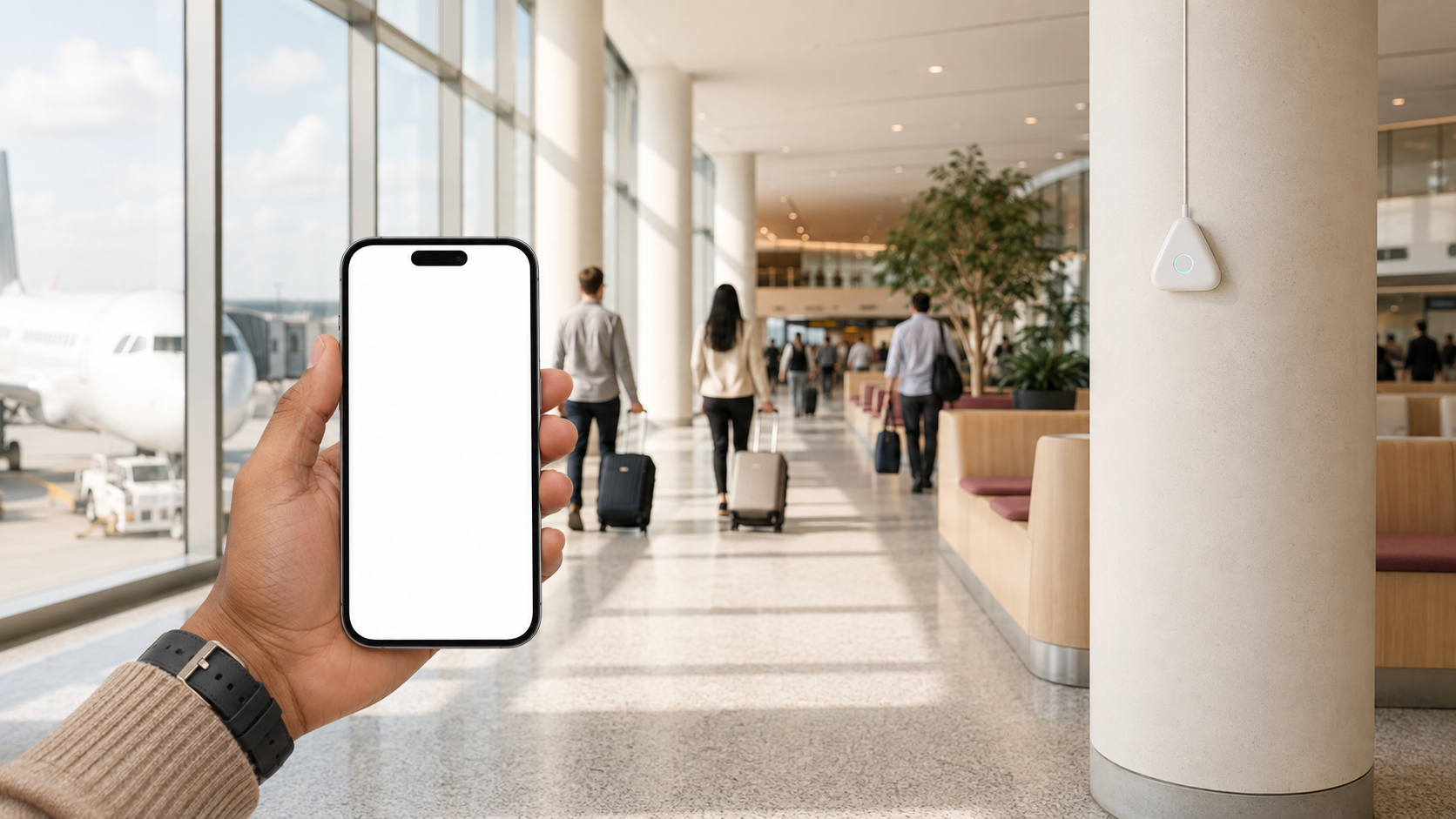

OPERATING SYSTEM FOR PHYSICAL WORLD
SpaceTimeOS turns your physical space into a software-defined, programmable canvas. Create geofences, set up triggers, or write prompts that define what should happen when people or things move or interact.
Think of it as a computer game, but for real operations inside your business: you can see events as they happen and reprogram how your space responds. Watch KPIs on widgets or build automations that put location intelligence to work.
Use location data and rules to improve productivity and safety, or to delight your clients. You can also use SpaceTimeOS as a completely new source of rich data for your machine-learning model to help you create your own location intelligence.


OPERATING SYSTEM FOR THE PHYSICAL WORLD
SpaceTimeOS connects location and sensing data to real-world actions. Use it to find equipment, alert staff when someone enters a restricted area or automate room settings when people arrive.
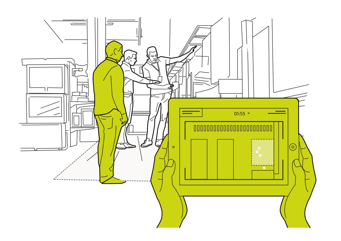 Find the stock you needRead more
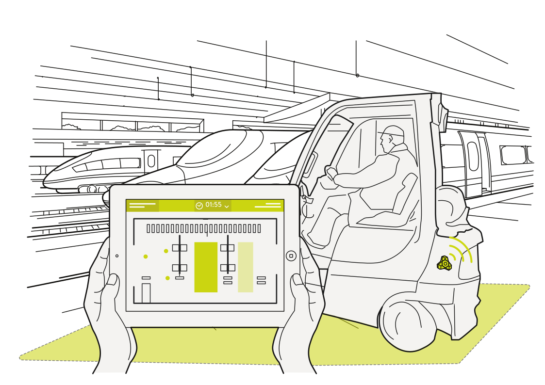 Locate station service vehiclesRead more
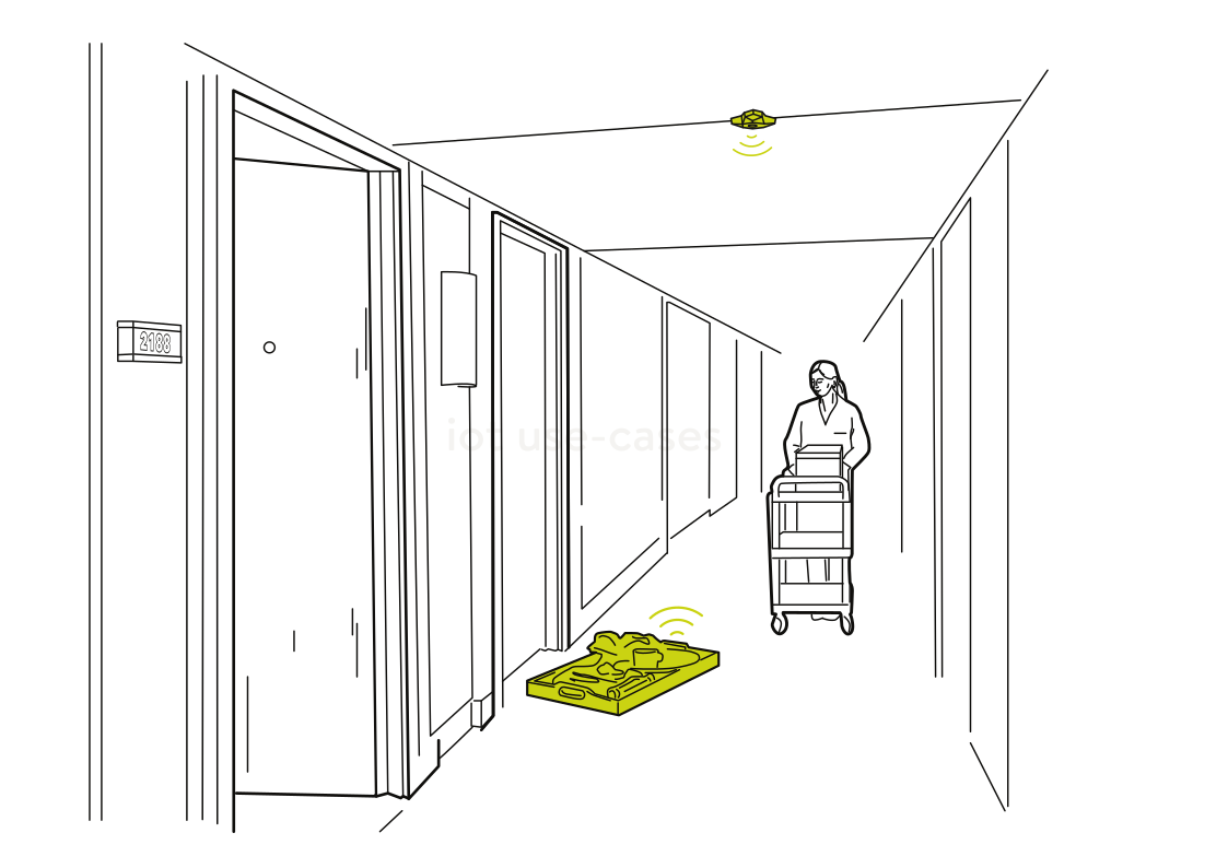 Equipment where care needs itRead more
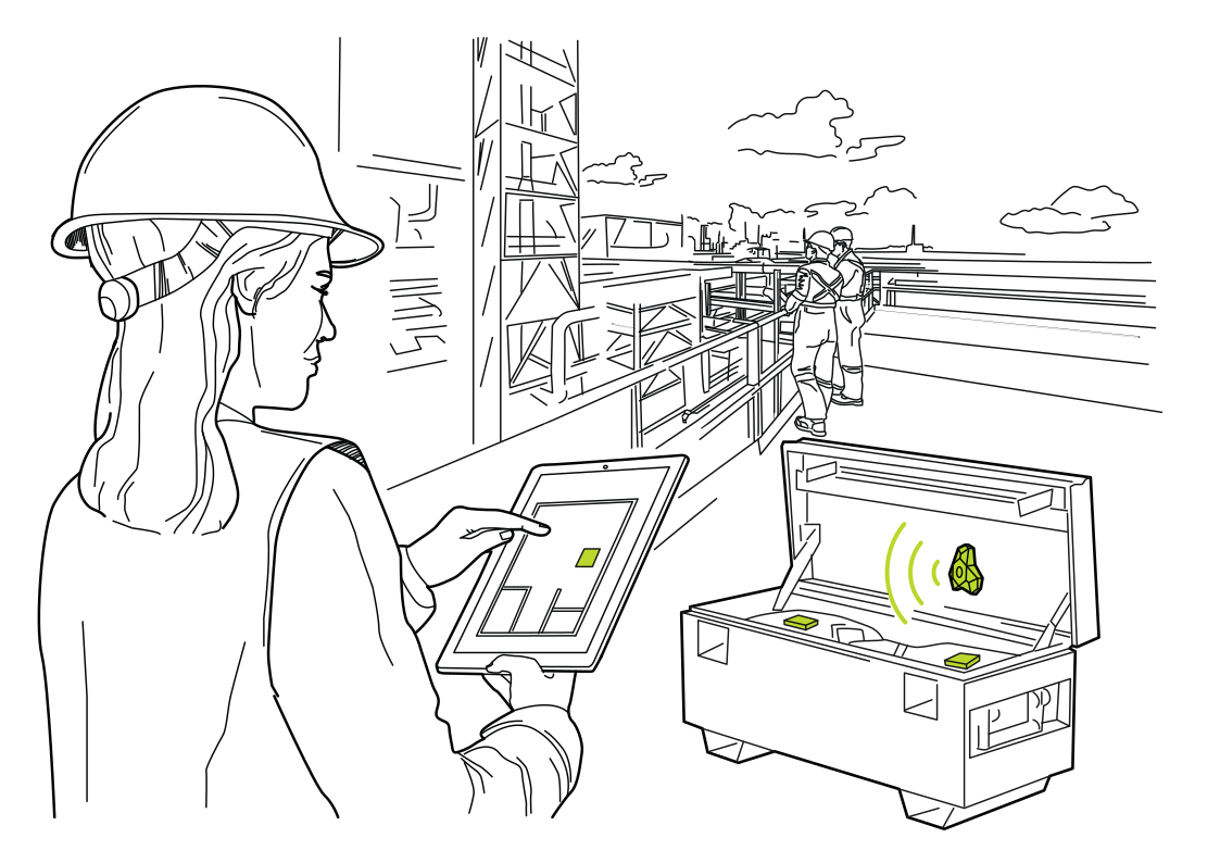 Your tools on a site mapRead more
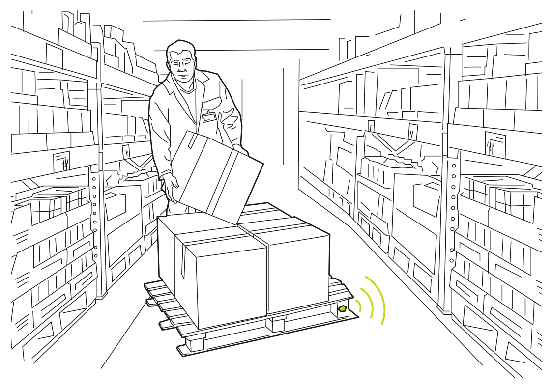 Follow pallets through the warehouseRead more
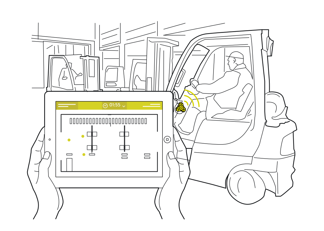 Find the forklift you needRead more
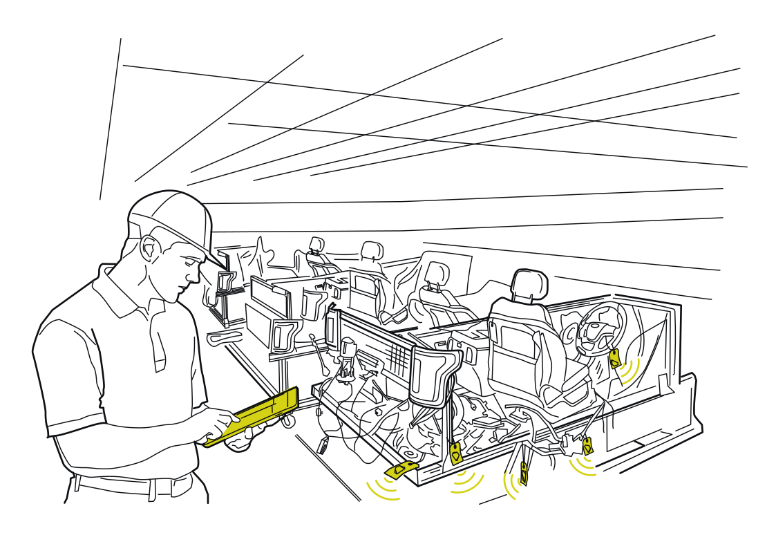 Follow work through assemblyRead more
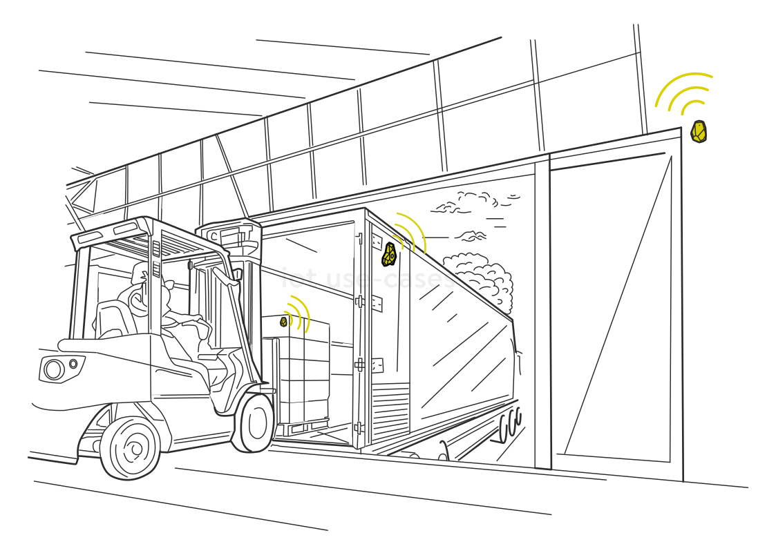 Make dock handoffs visibleRead more
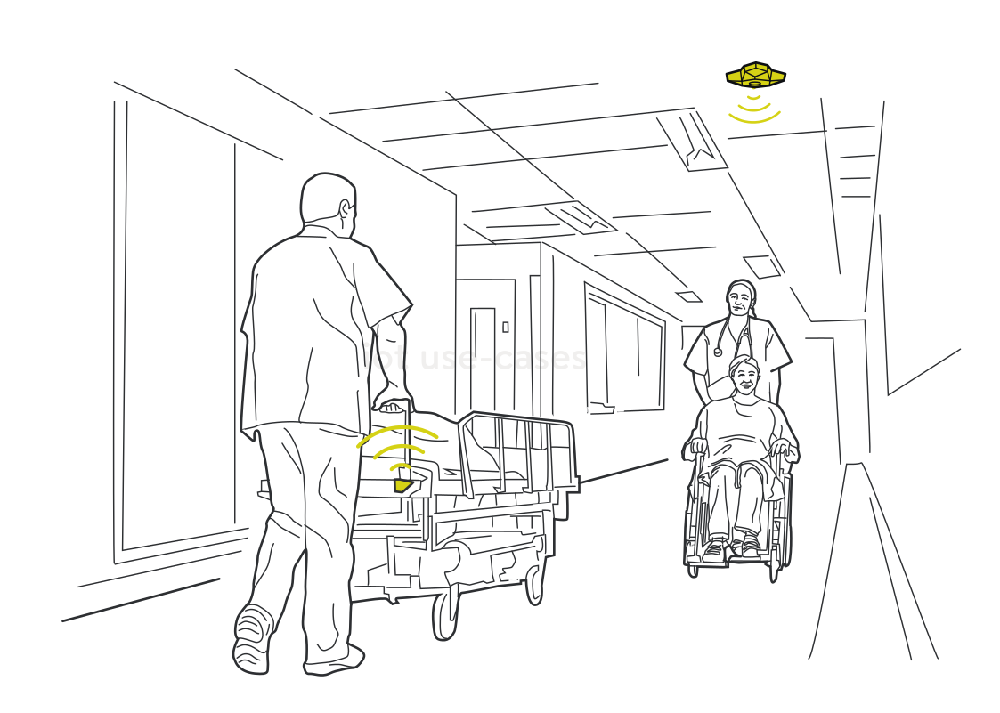 Coordinate beds and wheelchairsRead more
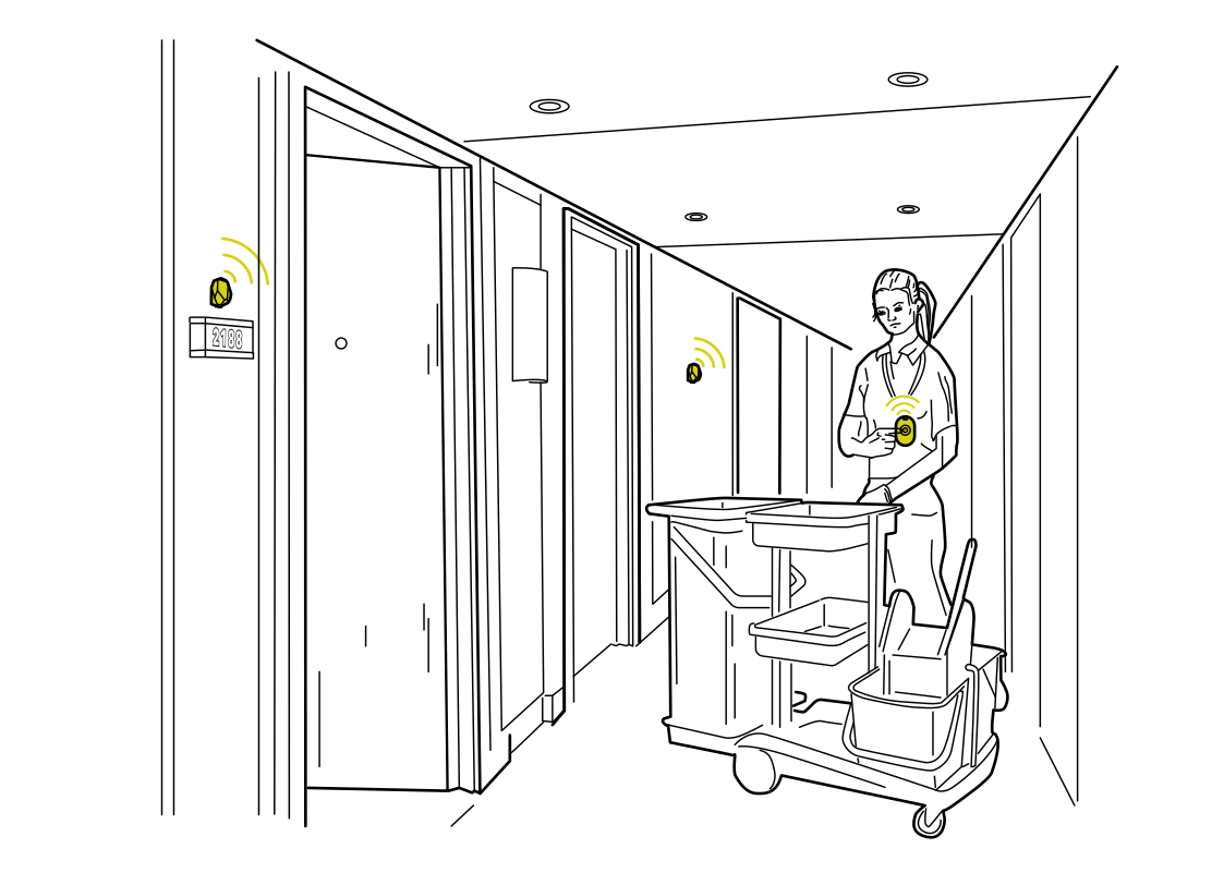 Housekeeping with room contextRead more
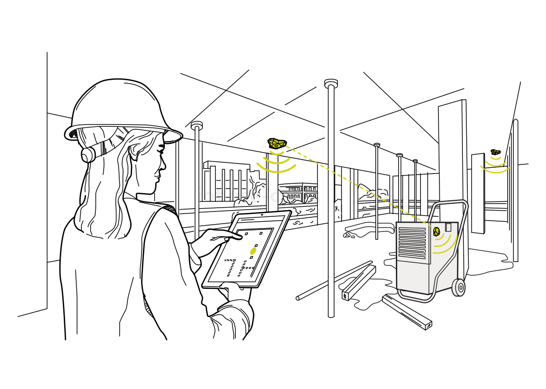 Find the equipment between shiftsRead more
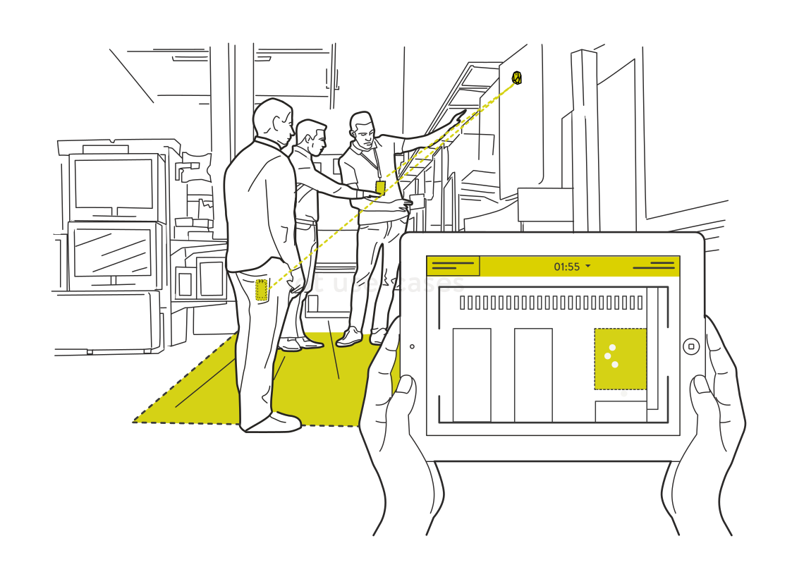 A shared view of the work areaRead more
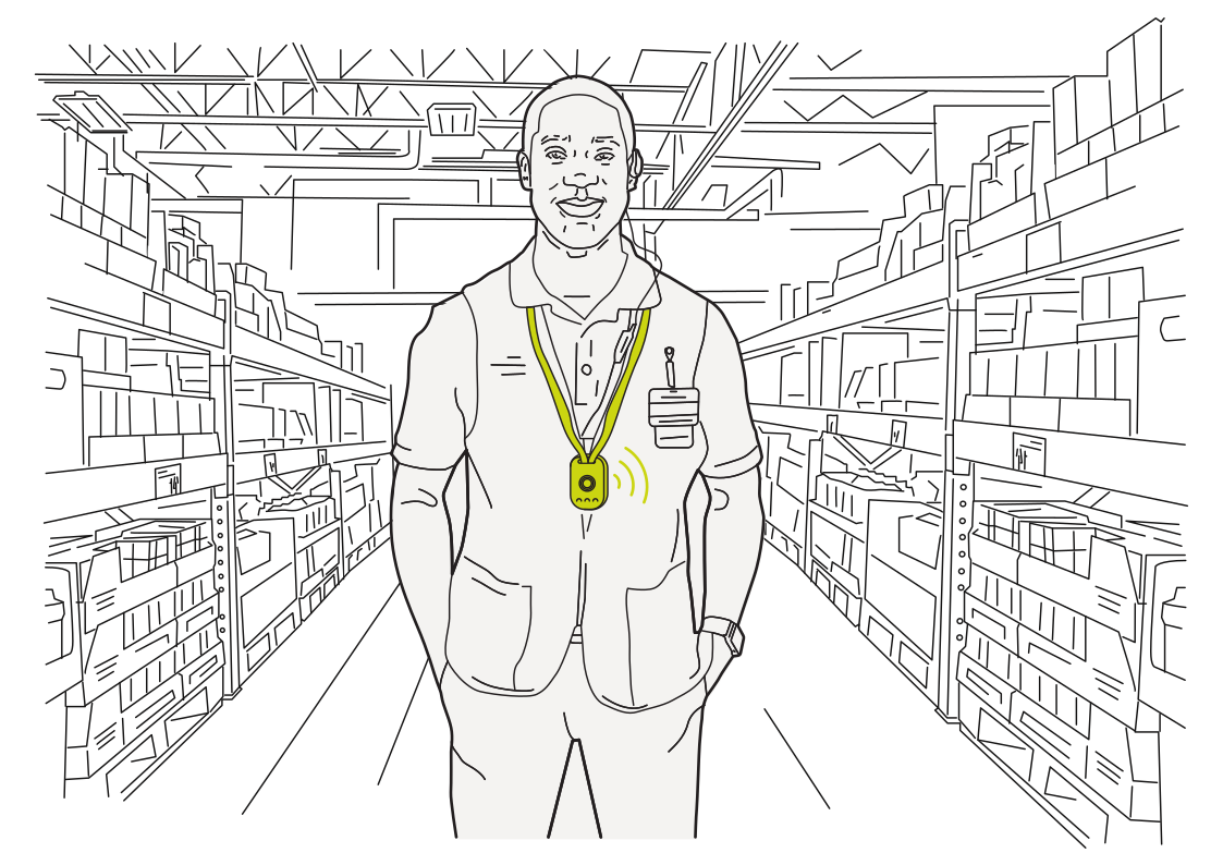 A check-in for every shiftRead more
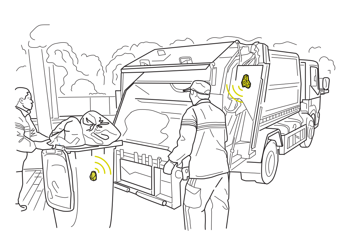 Record the collection handoffRead more
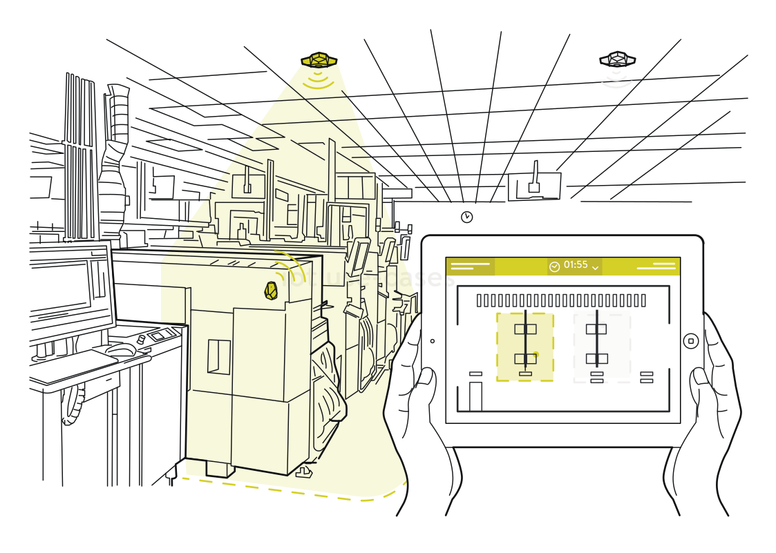 Know where stock was last seenRead more
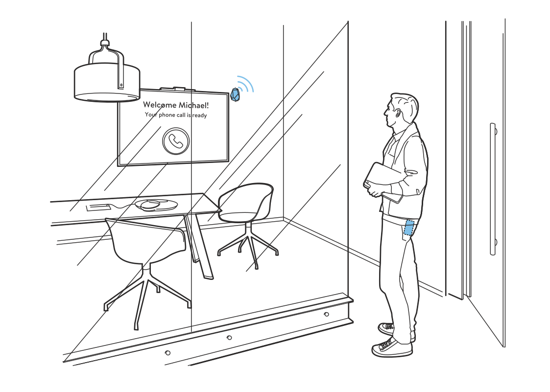 A room ready for youRead more
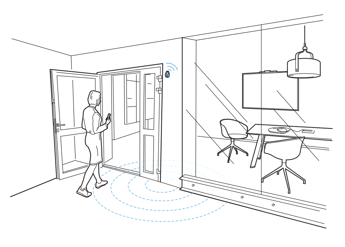 Find a free meeting roomRead more
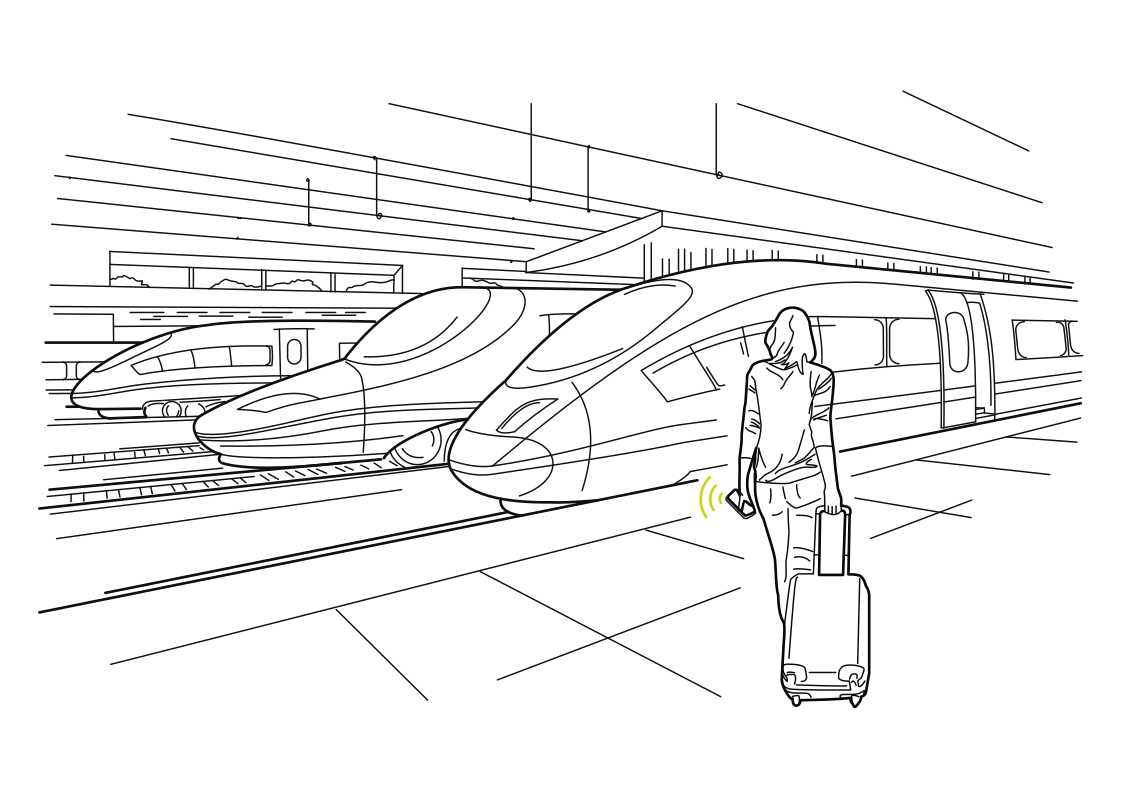 Find your trainRead more
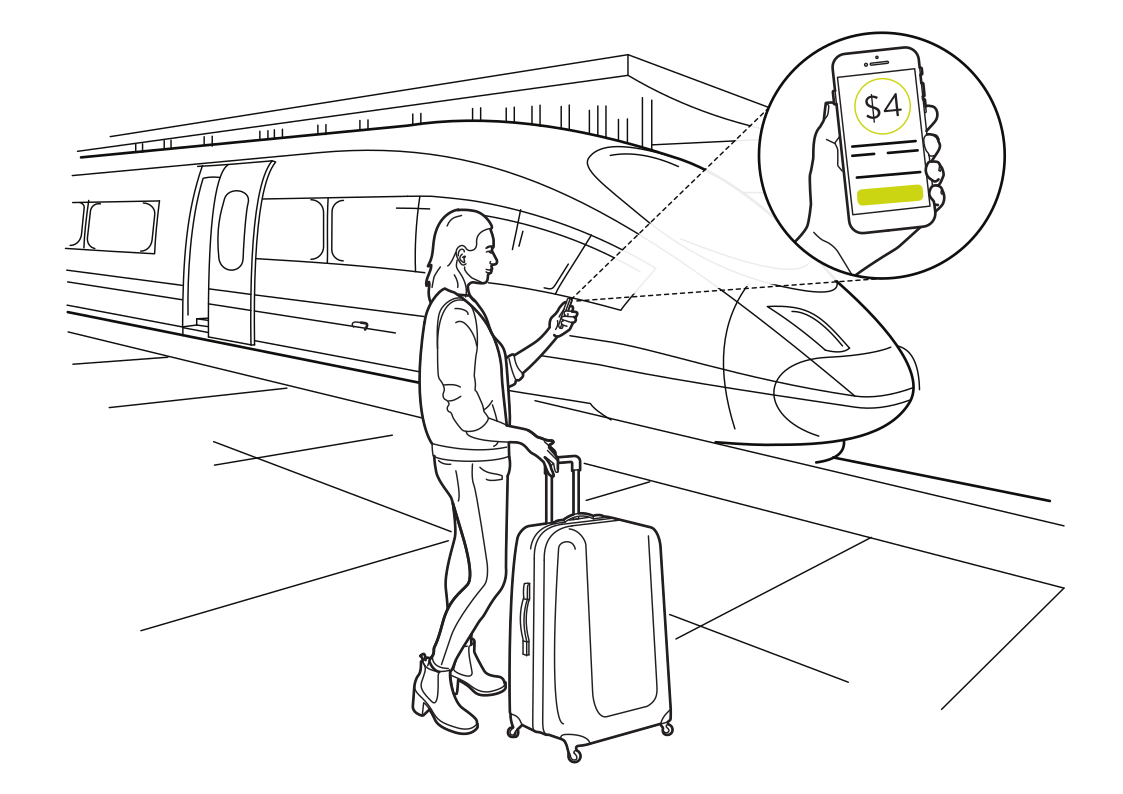 Board, ride, and goRead more
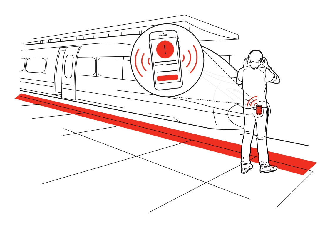 A reminder at the platform edgeRead more
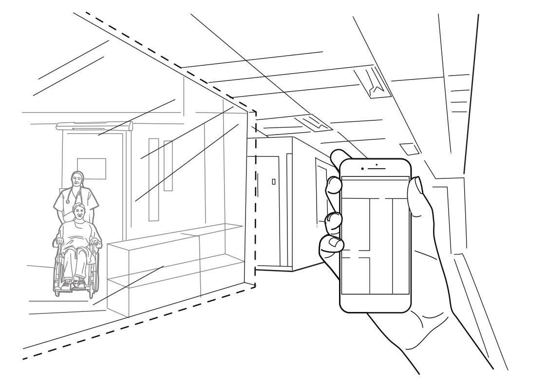 Directions to your appointmentRead more
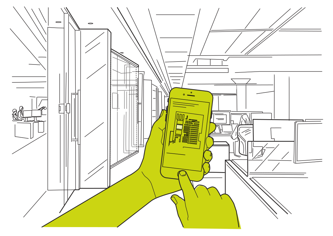 Find your way around the officeRead more
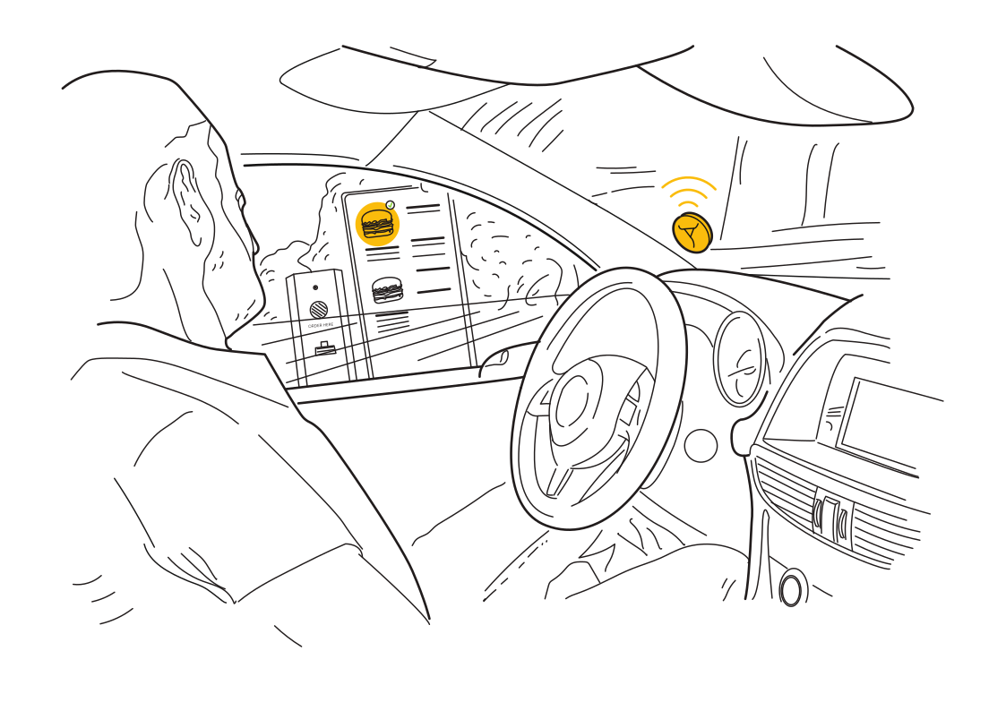 Your order, ready on arrivalRead more
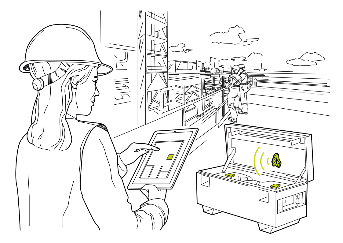 Find the right toolboxRead more
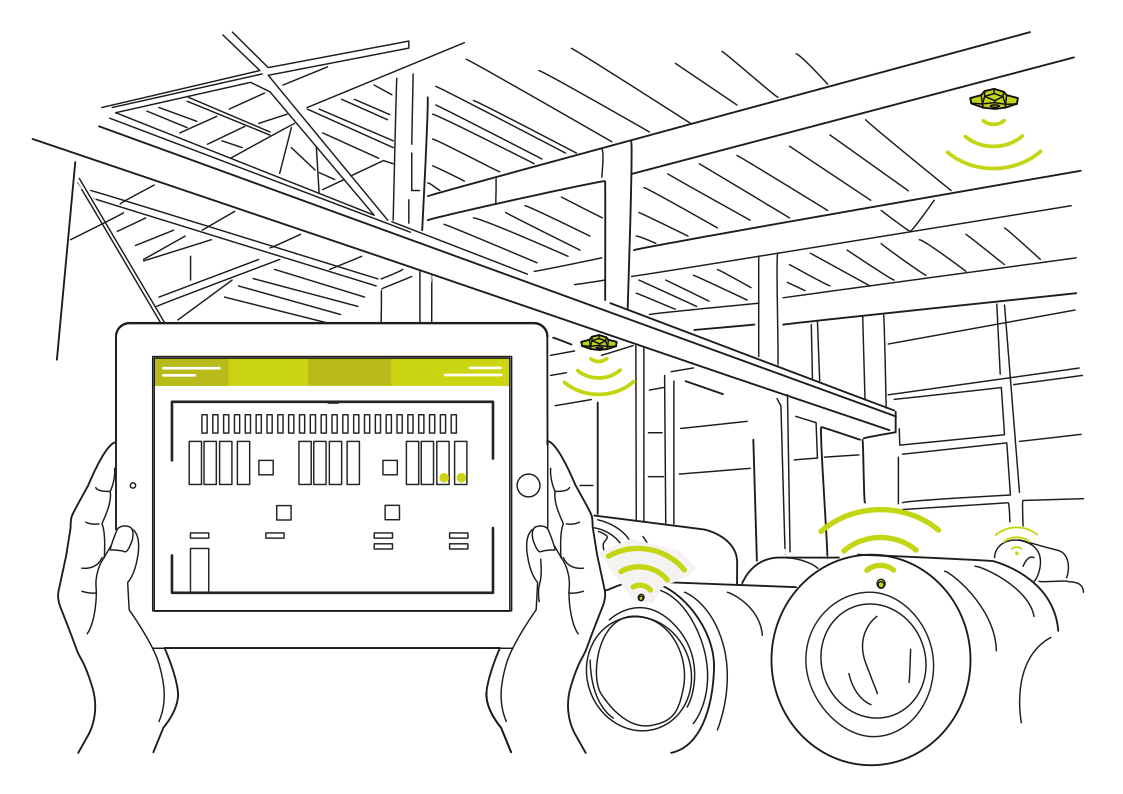 Know where your tires areRead more
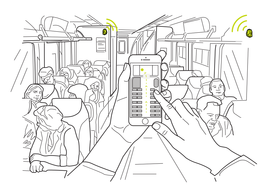 Straight to your seatRead more
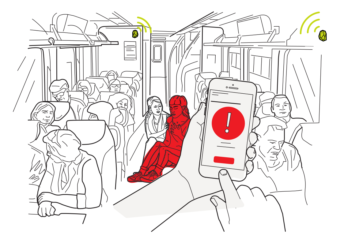 Help, in the right carriageRead more
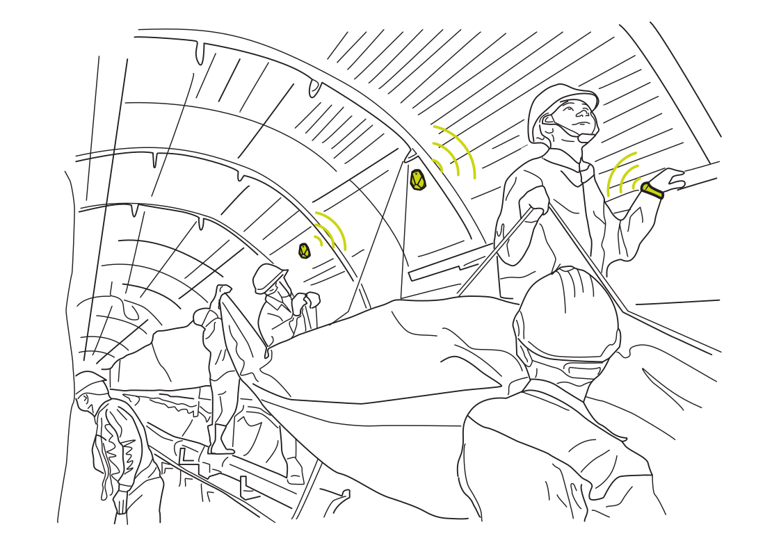 Keep your crew connectedRead more
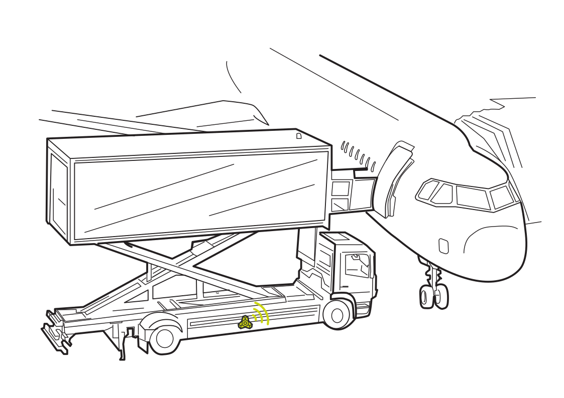 Keep cargo moving to the aircraftRead more
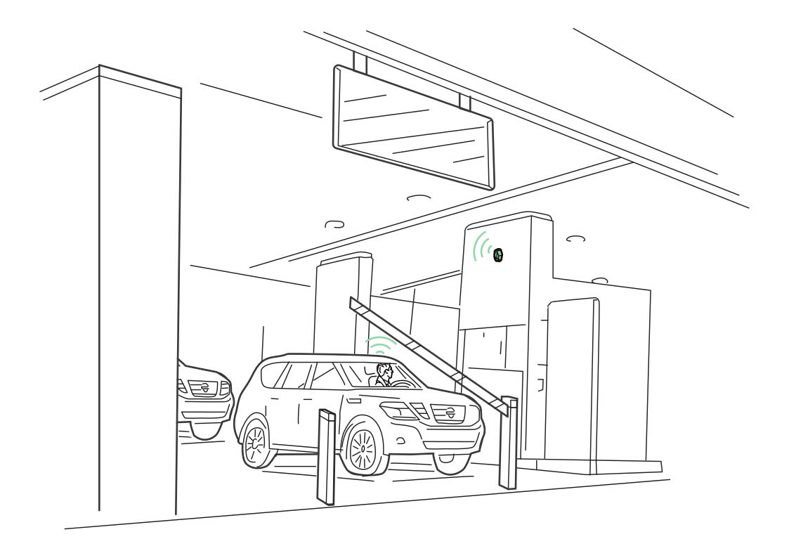 A smoother parking entranceRead more
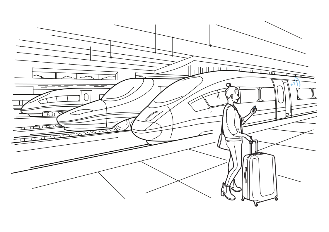 Know which train to boardRead more
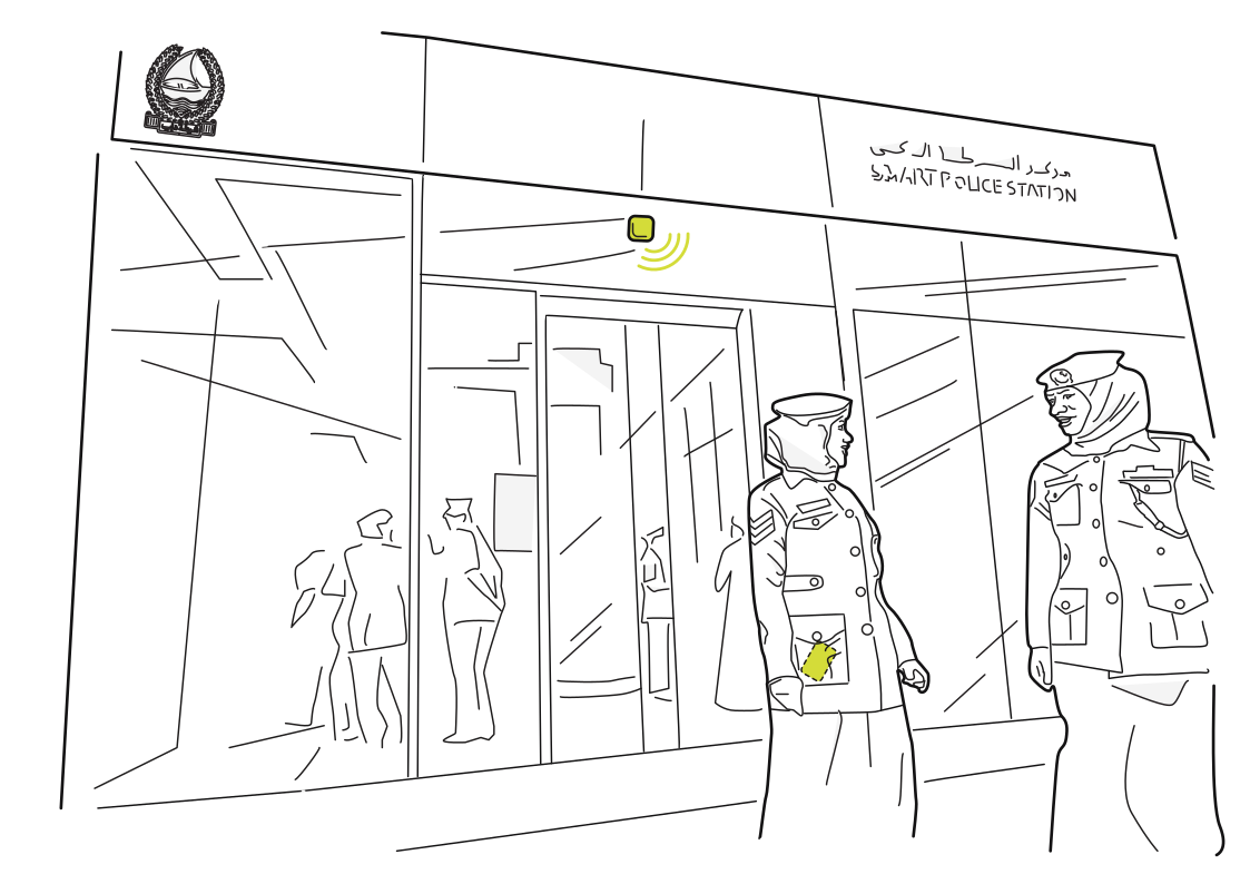 Keep station teams connectedRead more
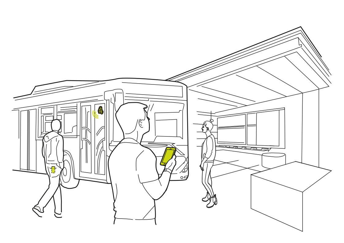 Find the right busRead more
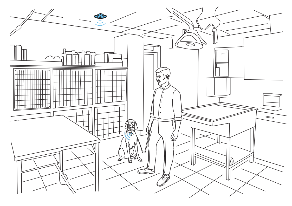 Follow pets through the clinicRead more
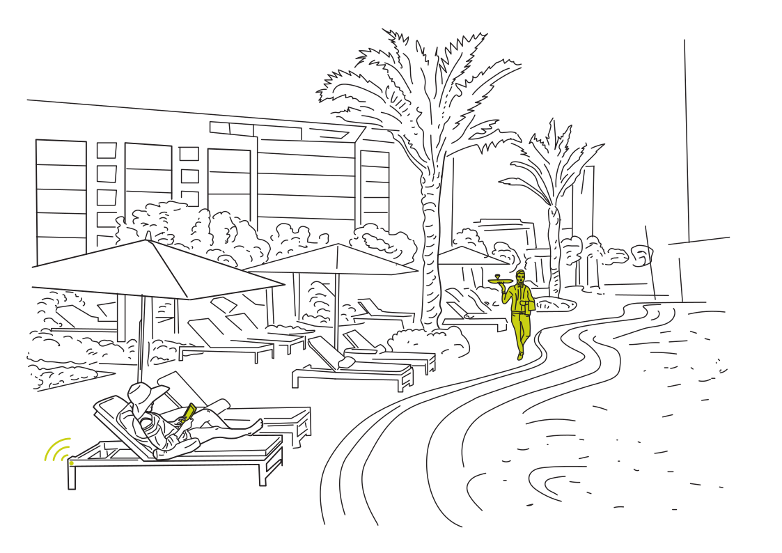 Service comes to your loungerRead more
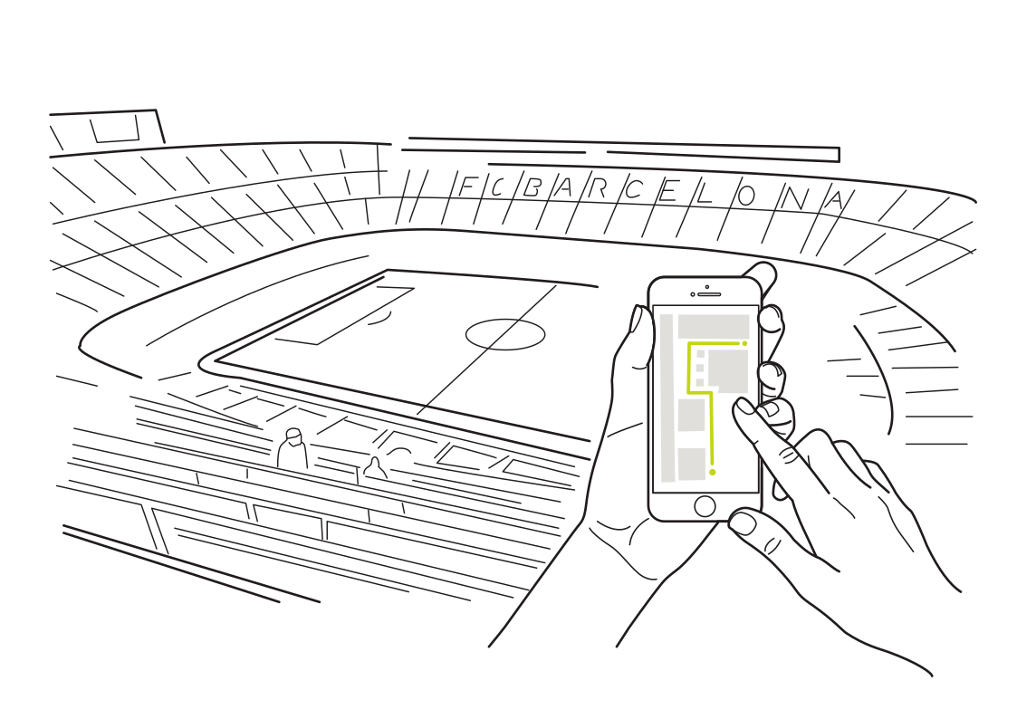 Find your place in the stadiumRead more
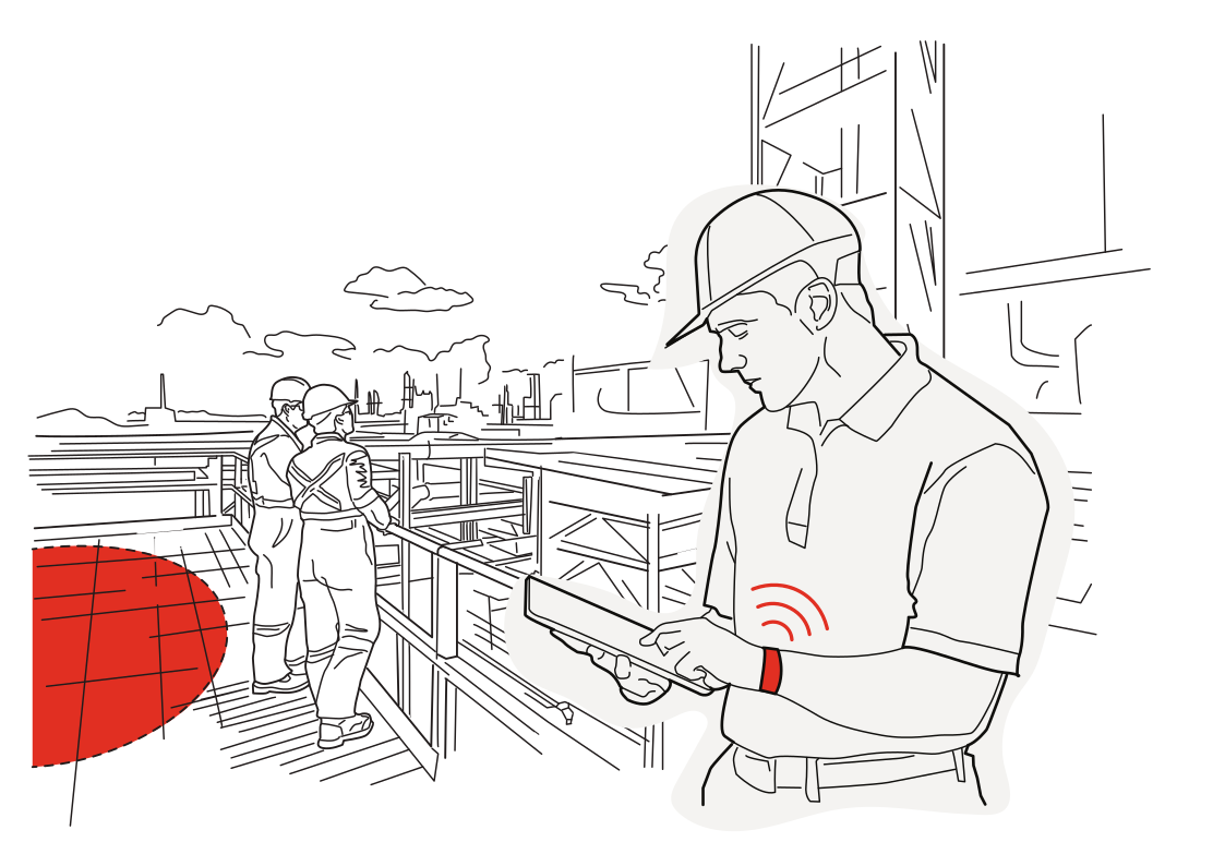 A wearable warning near hazardsRead more
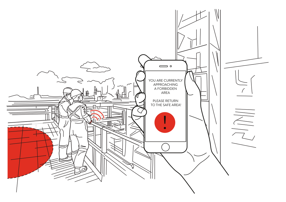 Keep work zones visibleRead more
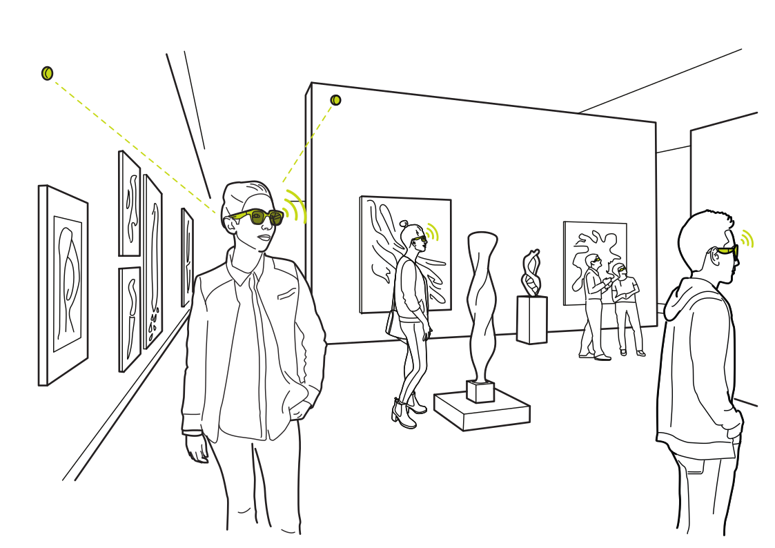 Bring exhibits into viewRead more
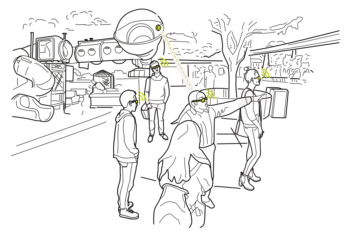 A guide for every adventureRead more
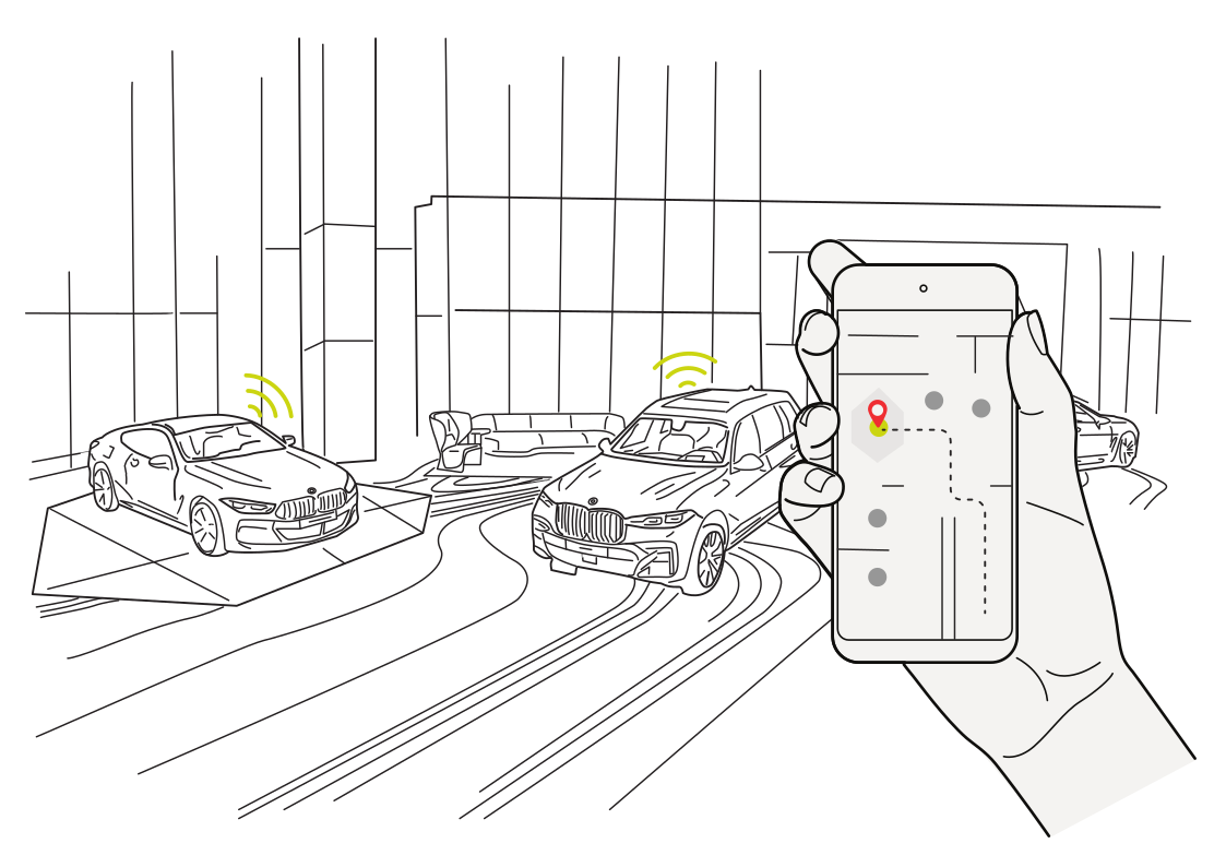 Back to your parked carRead more
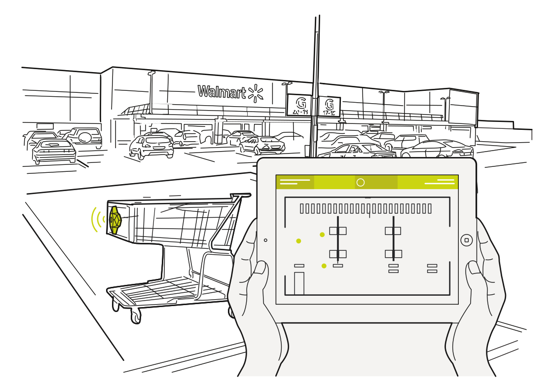 Bring shopping carts backRead more
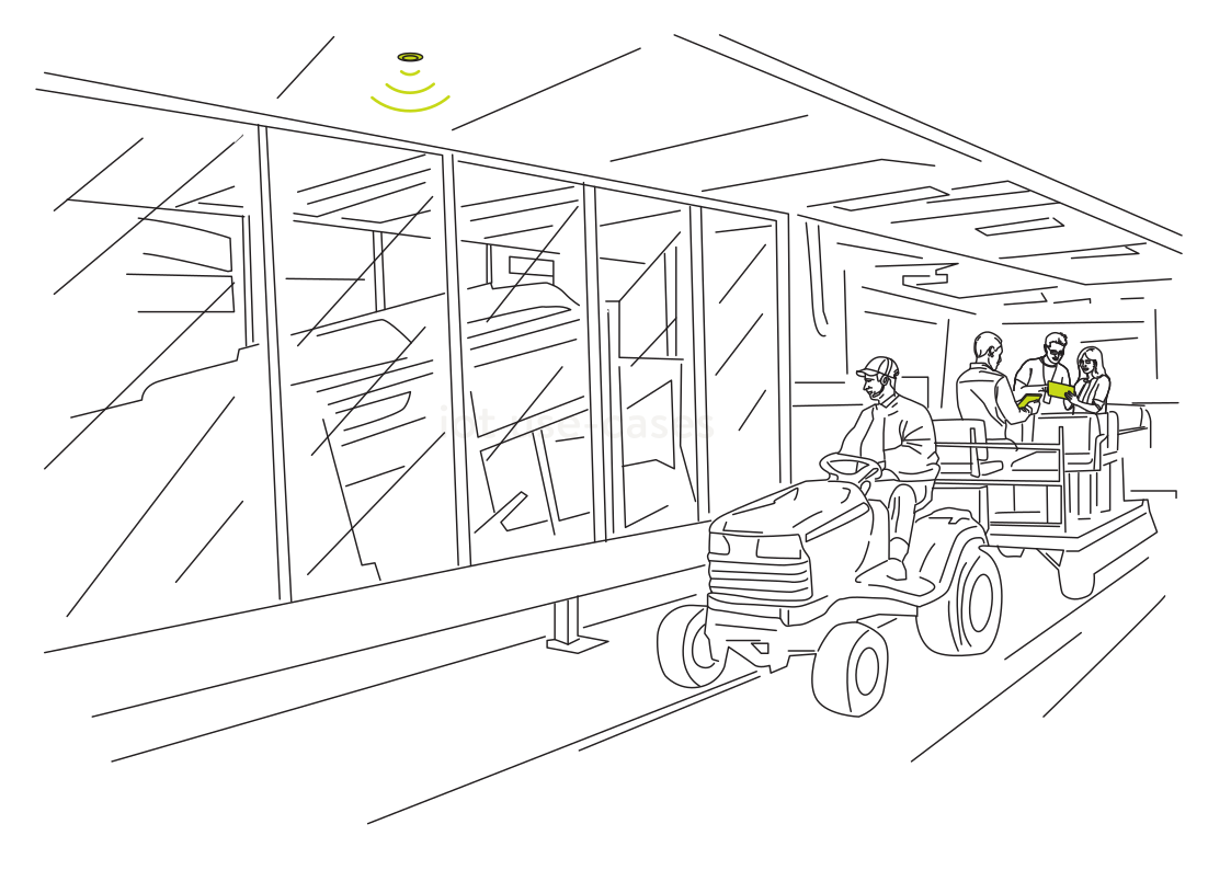 Find a forklift for the next jobRead more
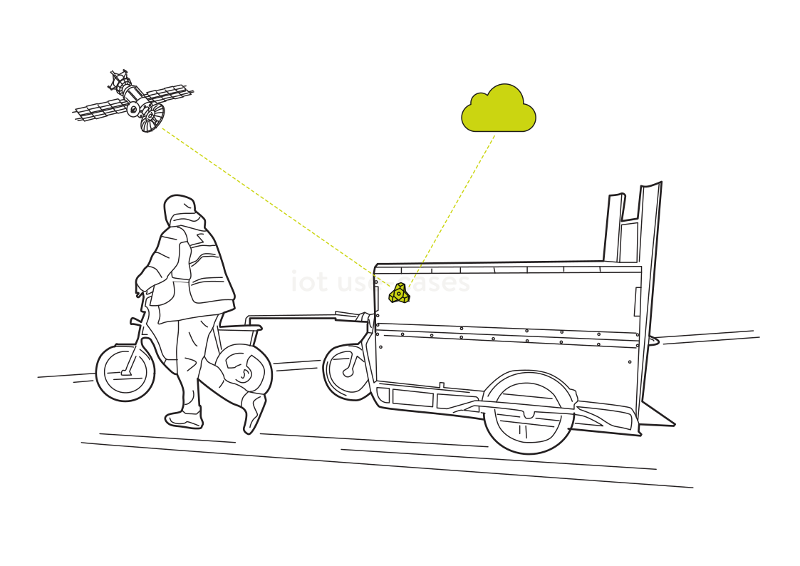 Know when trailers returnRead more
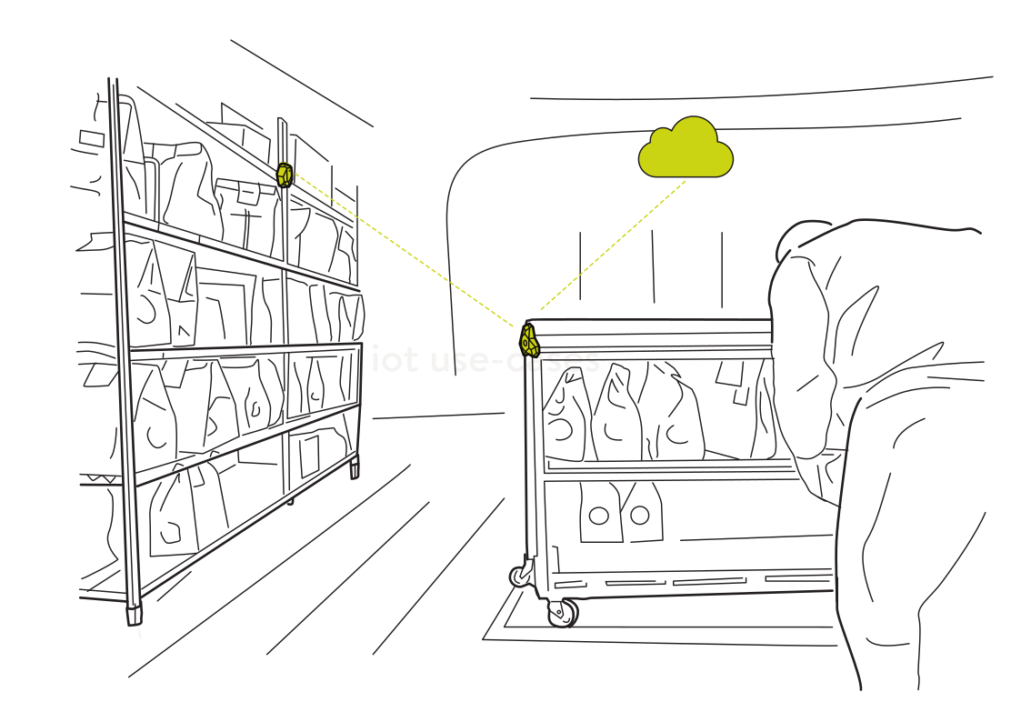 Connect stockrooms to your mapRead more
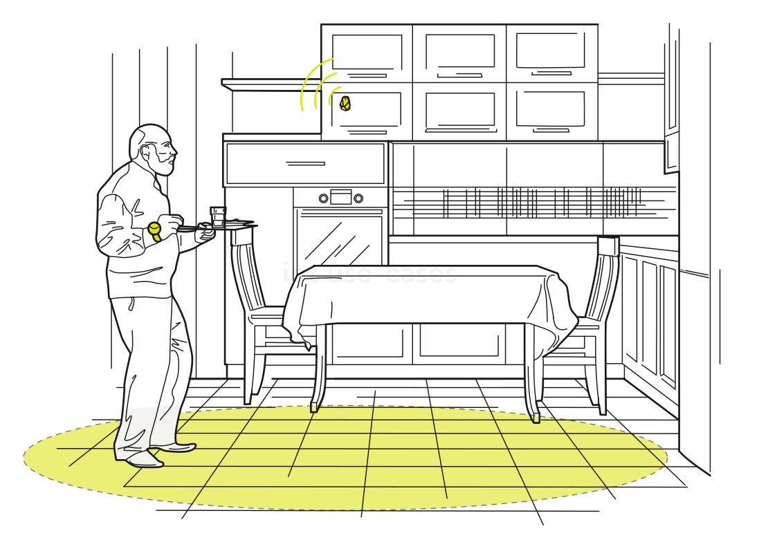 A kitchen that respondsRead more
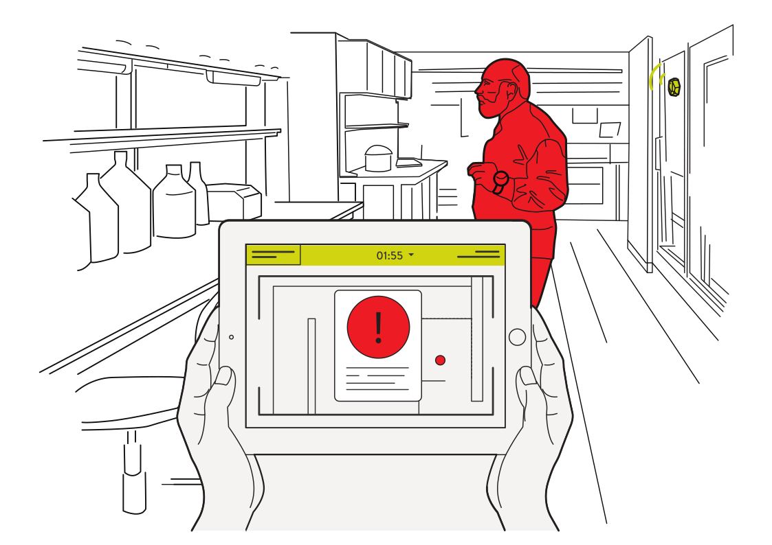 Notice activity in restricted roomsRead more
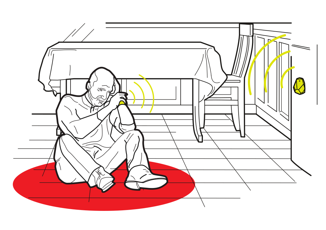 Help within reach at homeRead more
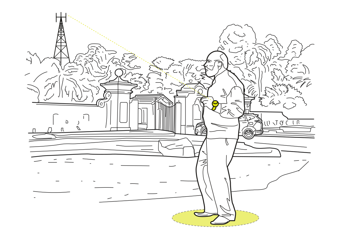 Stay connected beyond the buildingRead more
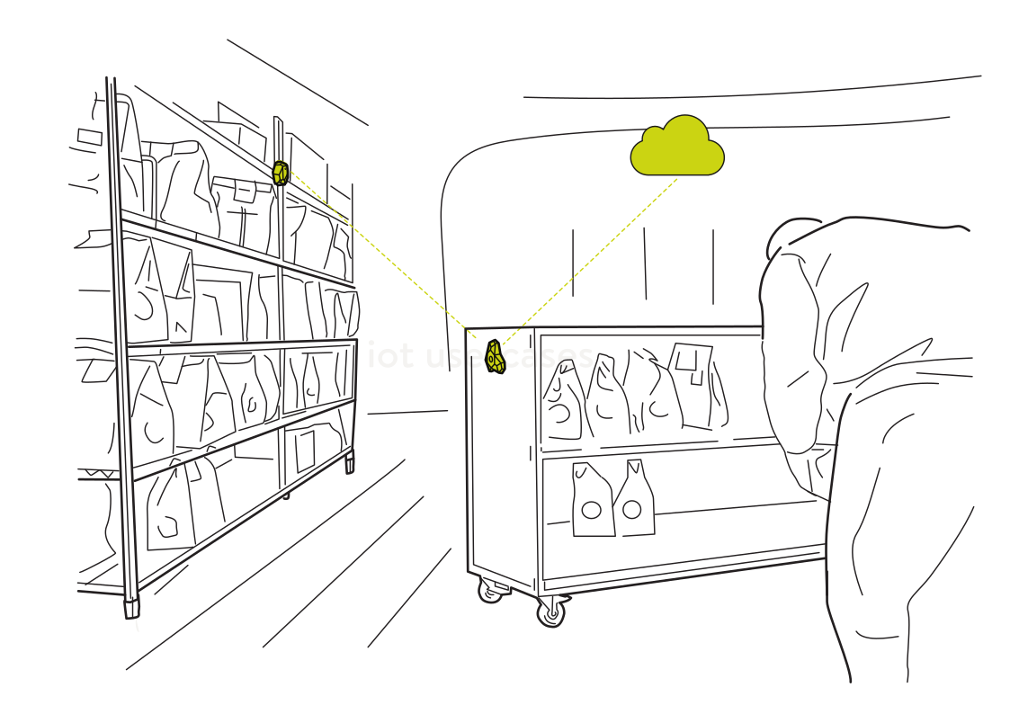 See stock moving between areasRead more
 Understand movement through a venueRead more
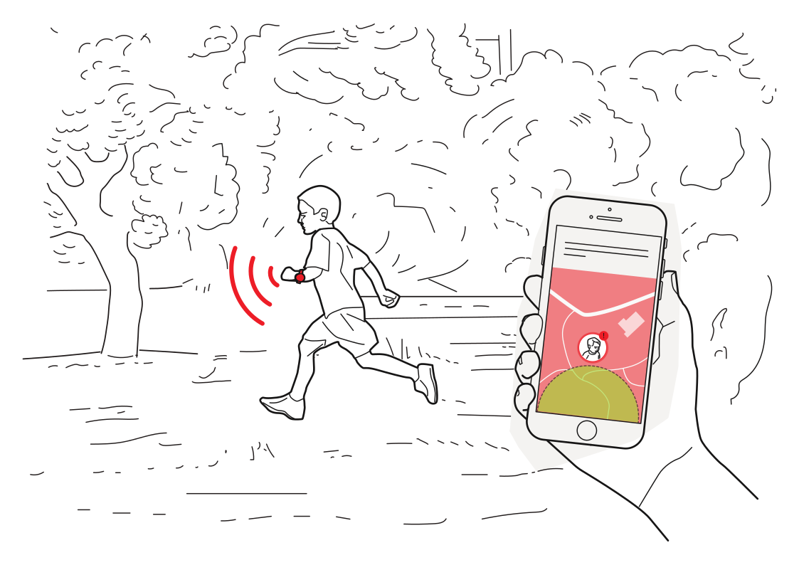 A reminder to stay nearbyRead more
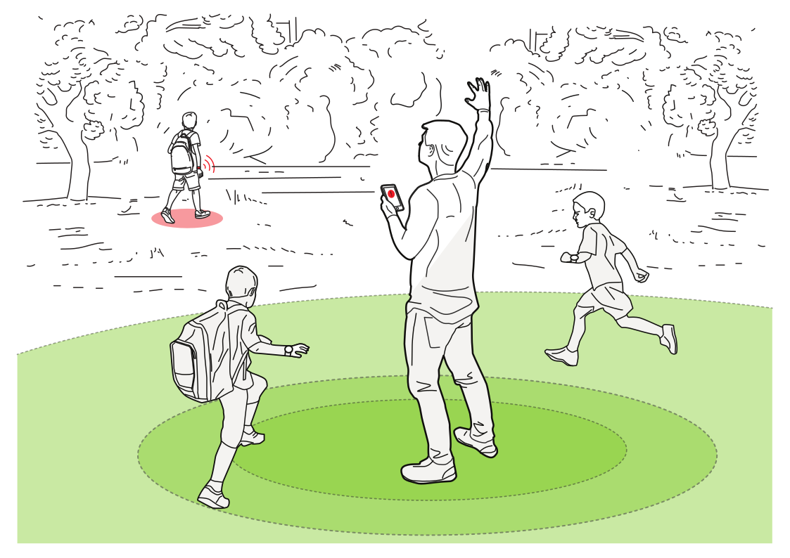 Keep the group togetherRead more
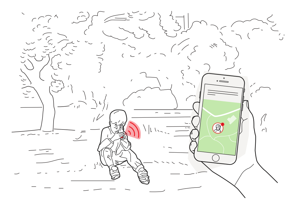 An easy way to ask for helpRead more
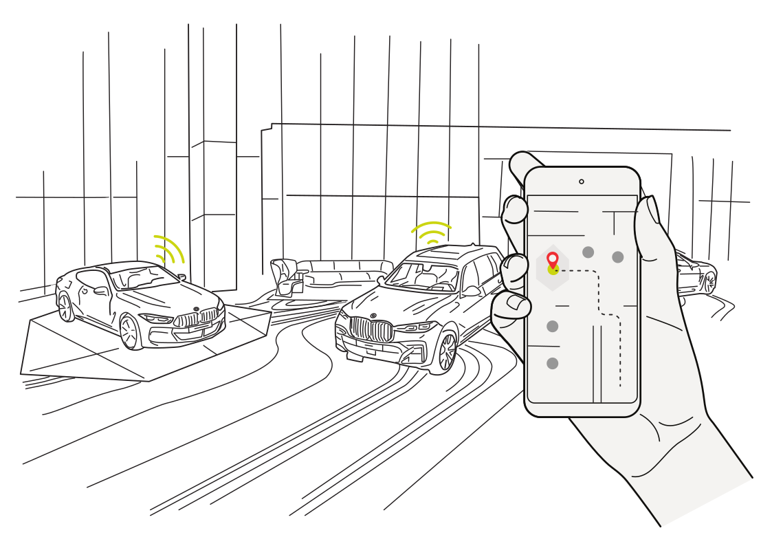 Remember your parking spotRead more
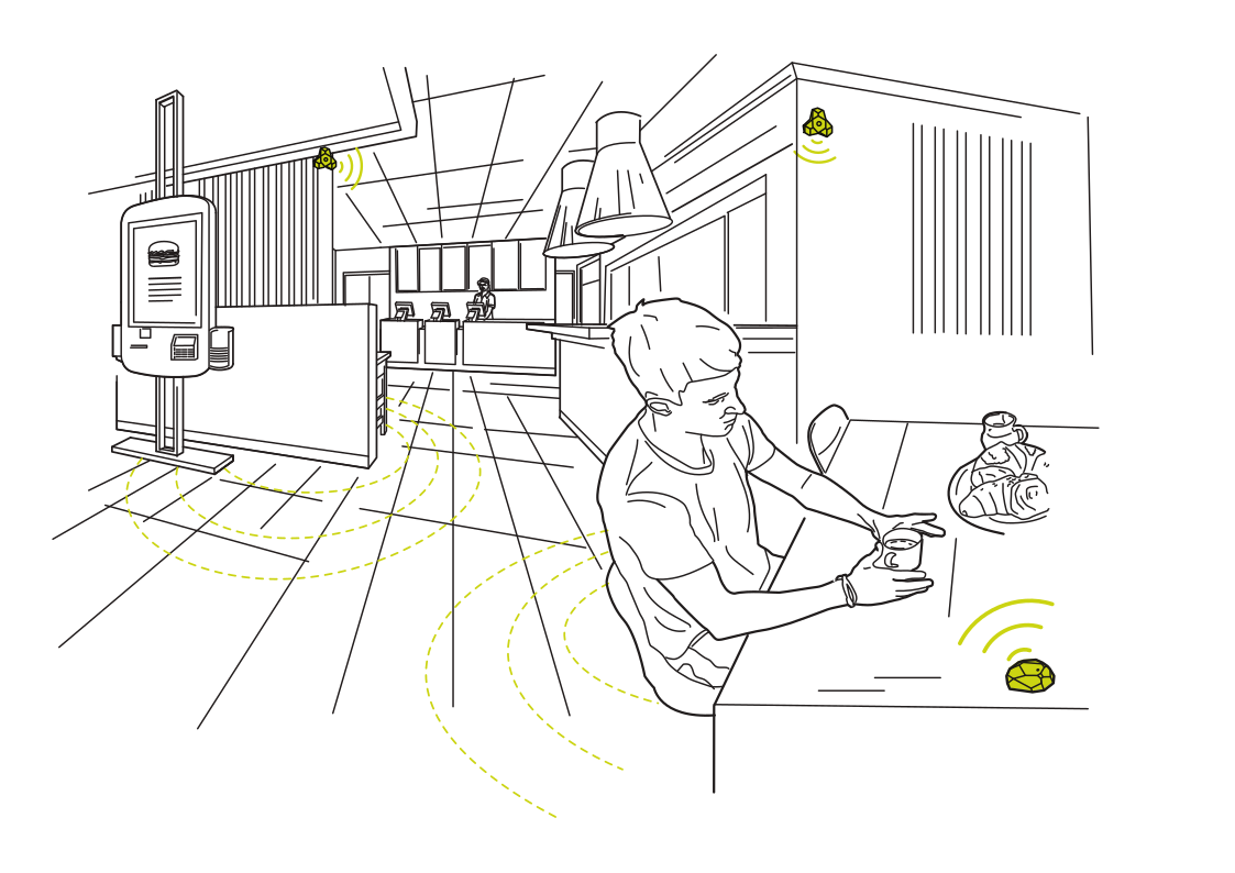 Service that knows the tableRead more
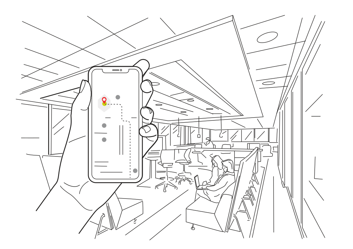 Directions through a new workplaceRead more
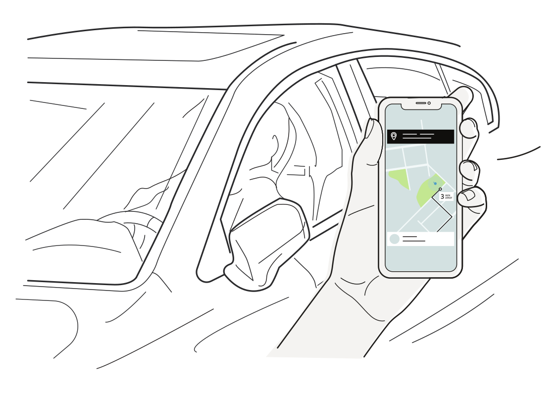 Find your pickup vehicleRead more
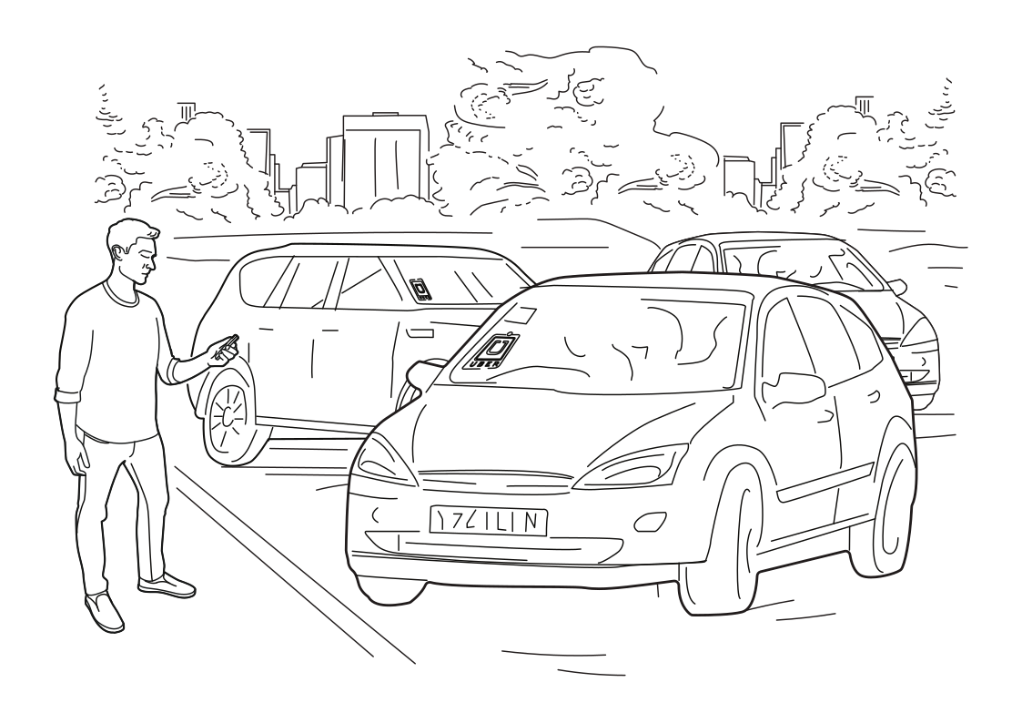 Meet your ride with confidenceRead more
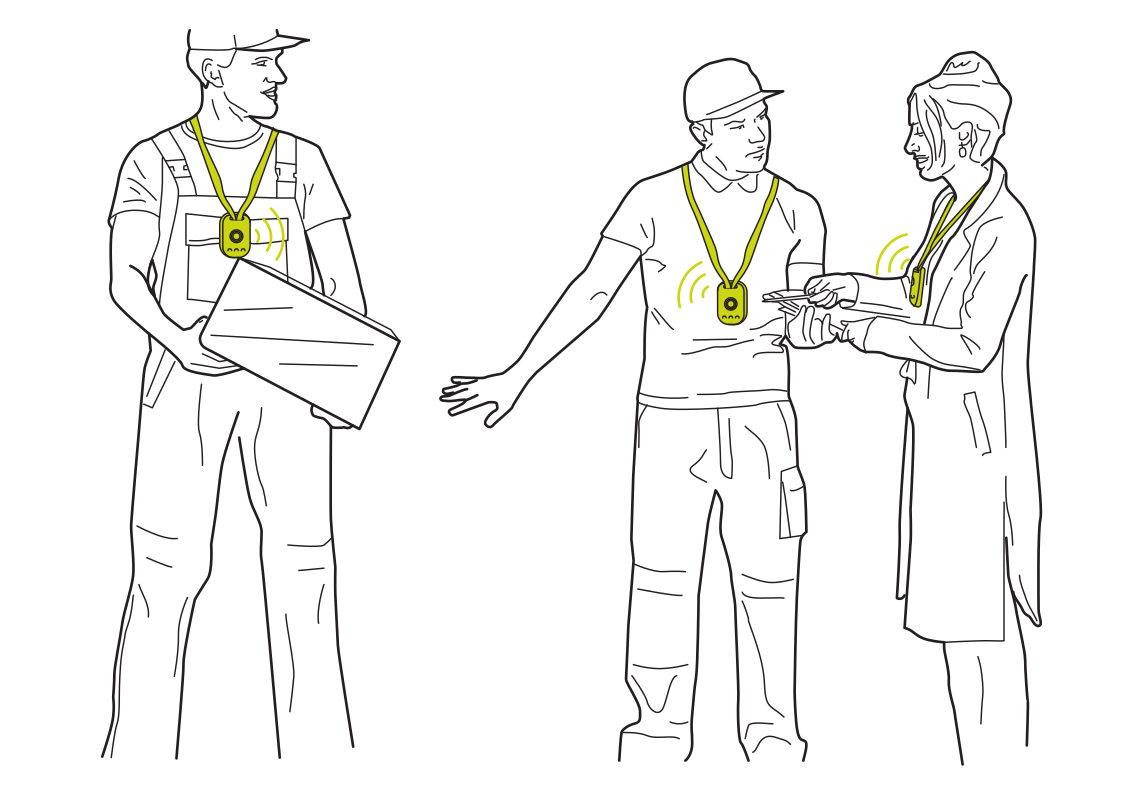 Coordinate crews without a screenRead more
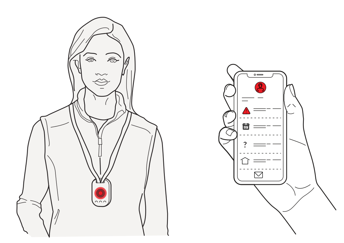 Support at the press of a buttonRead more
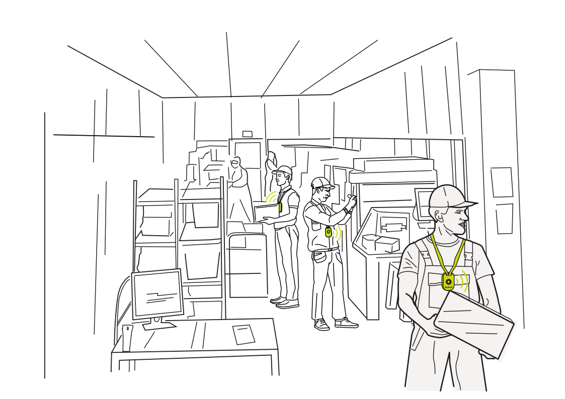 Connect people to warehouse tasksRead more
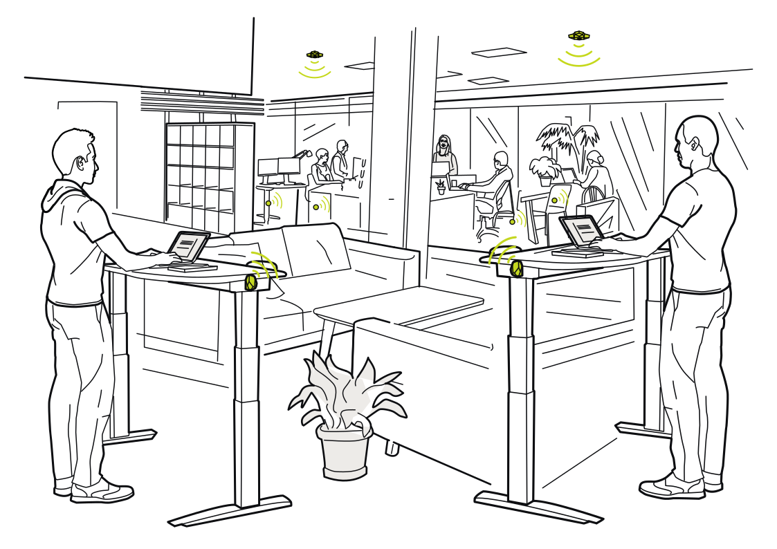 A workspace that adaptsRead more
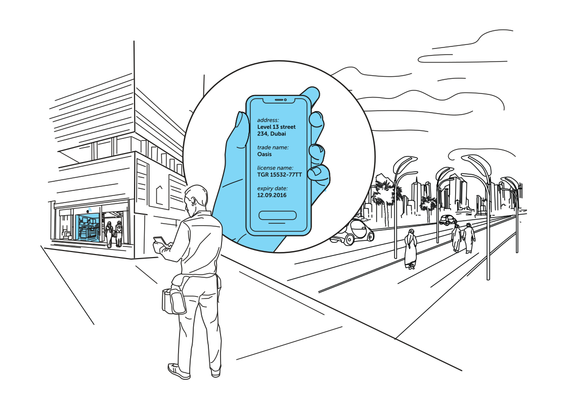 Useful information at the entranceRead more
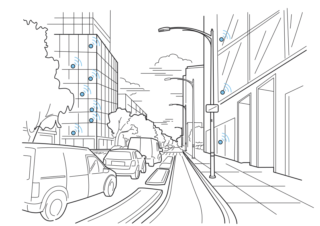 Understand activity along the streetRead more
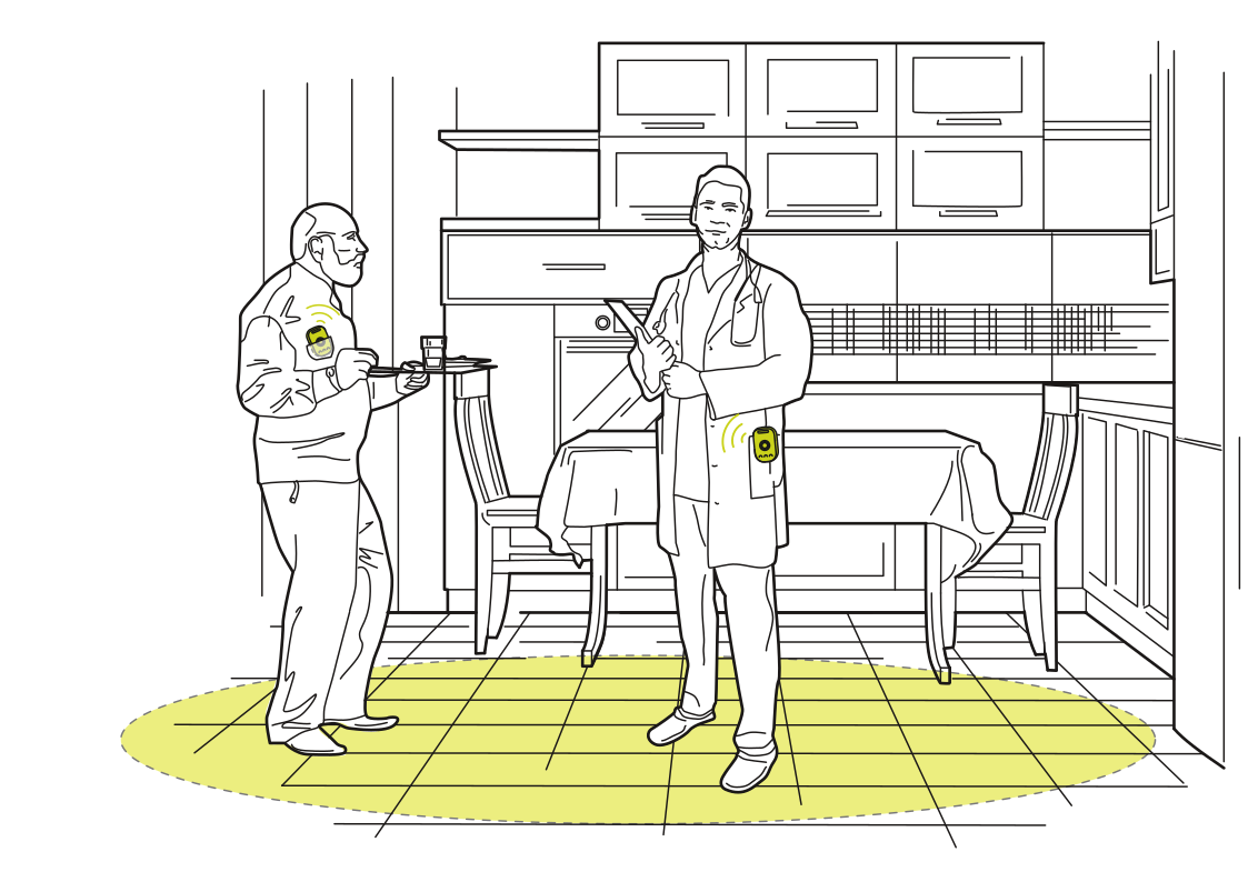 A more connected home visitRead more
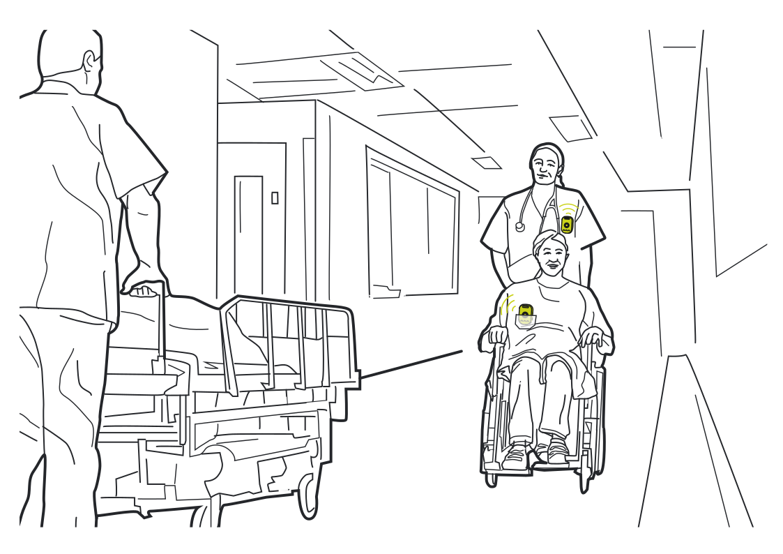 Coordinate a patient transferRead more
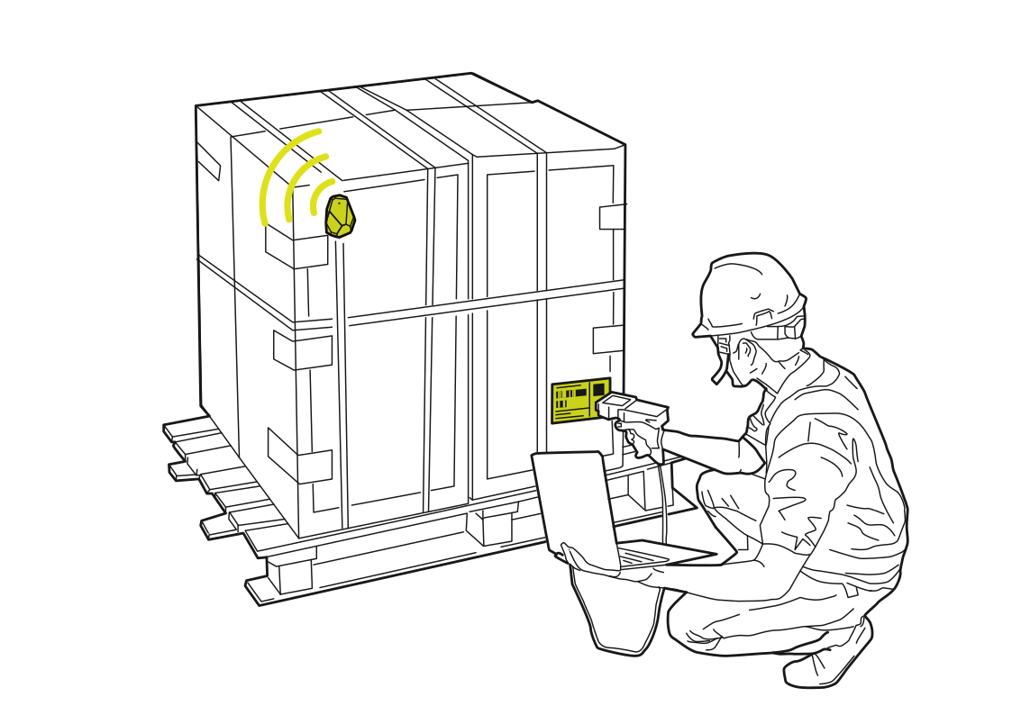 Give each shipment an identityRead more
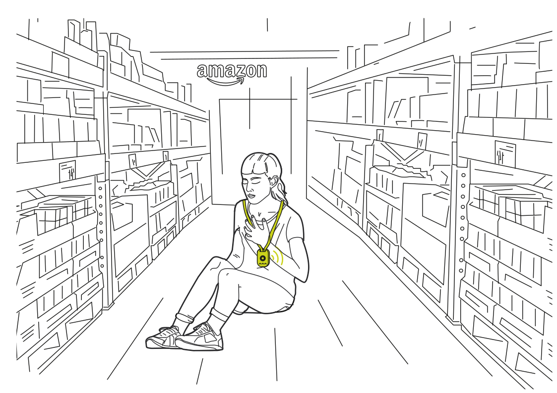 Help from the warehouse floorRead more
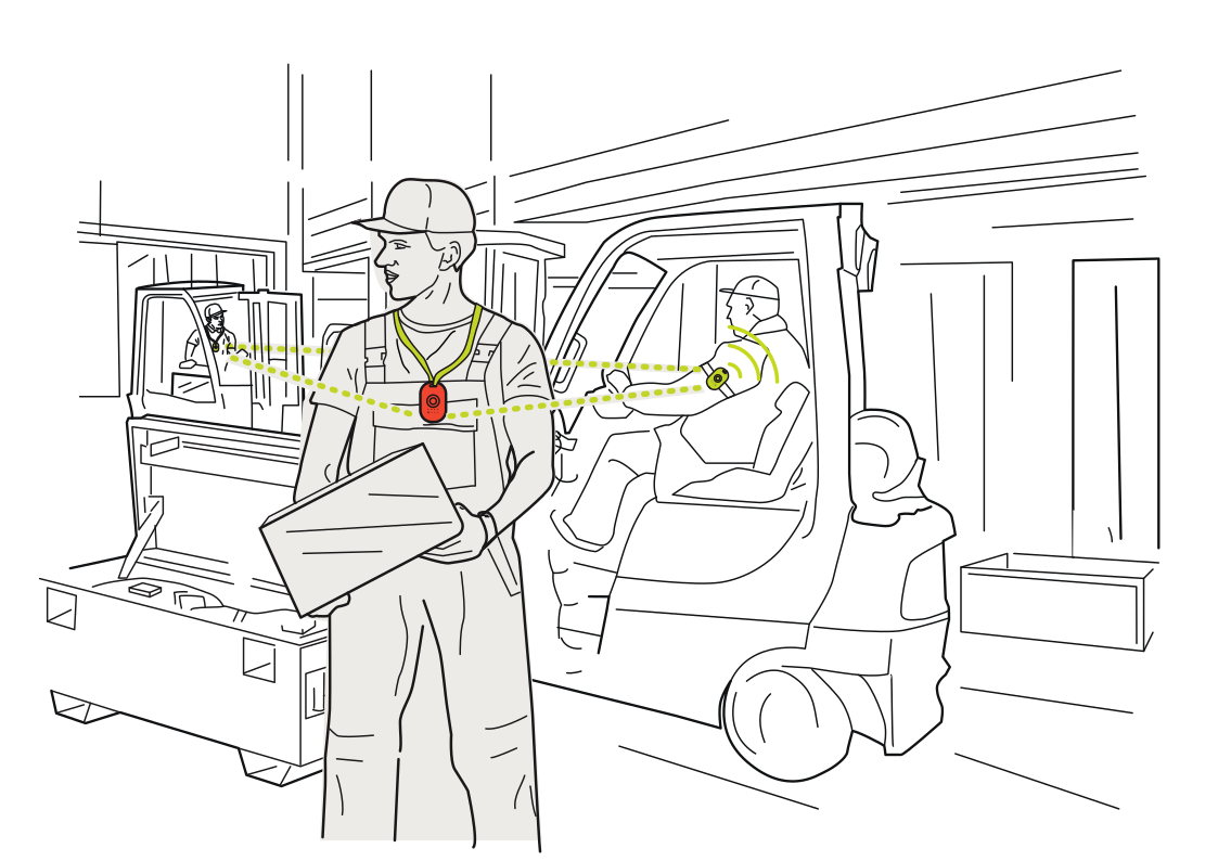 More awareness around forkliftsRead more
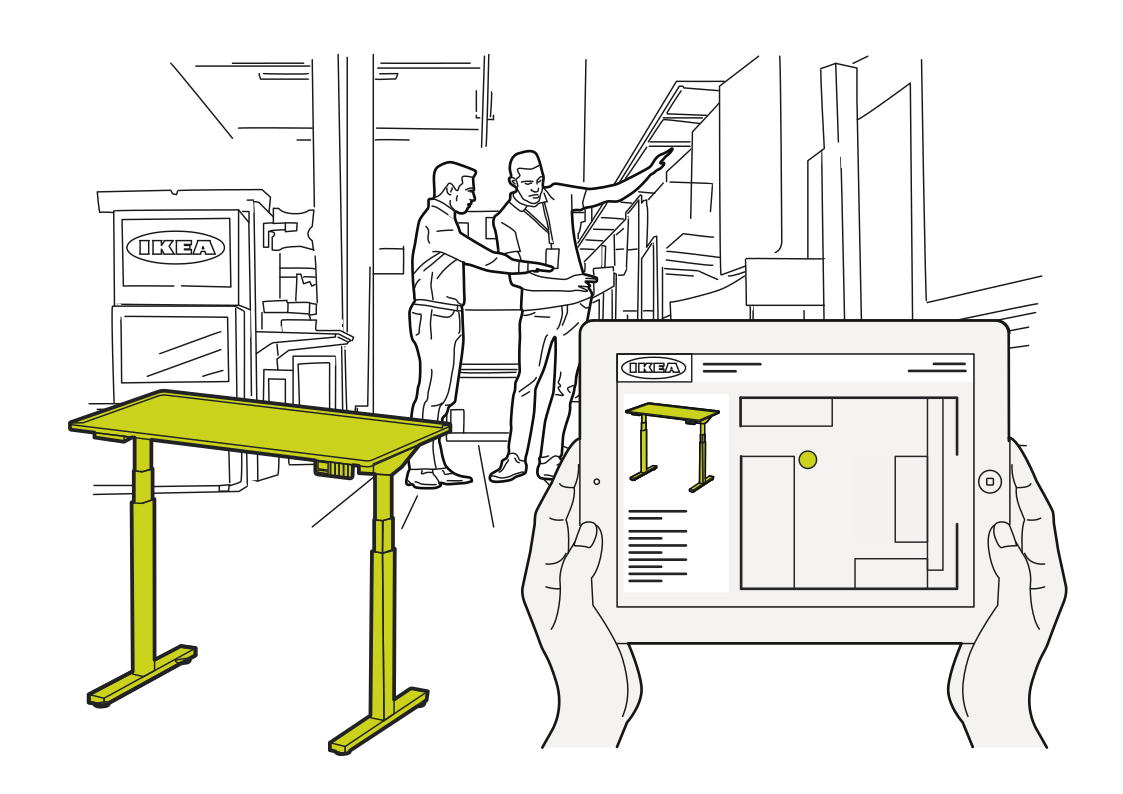 Find the display itemRead more
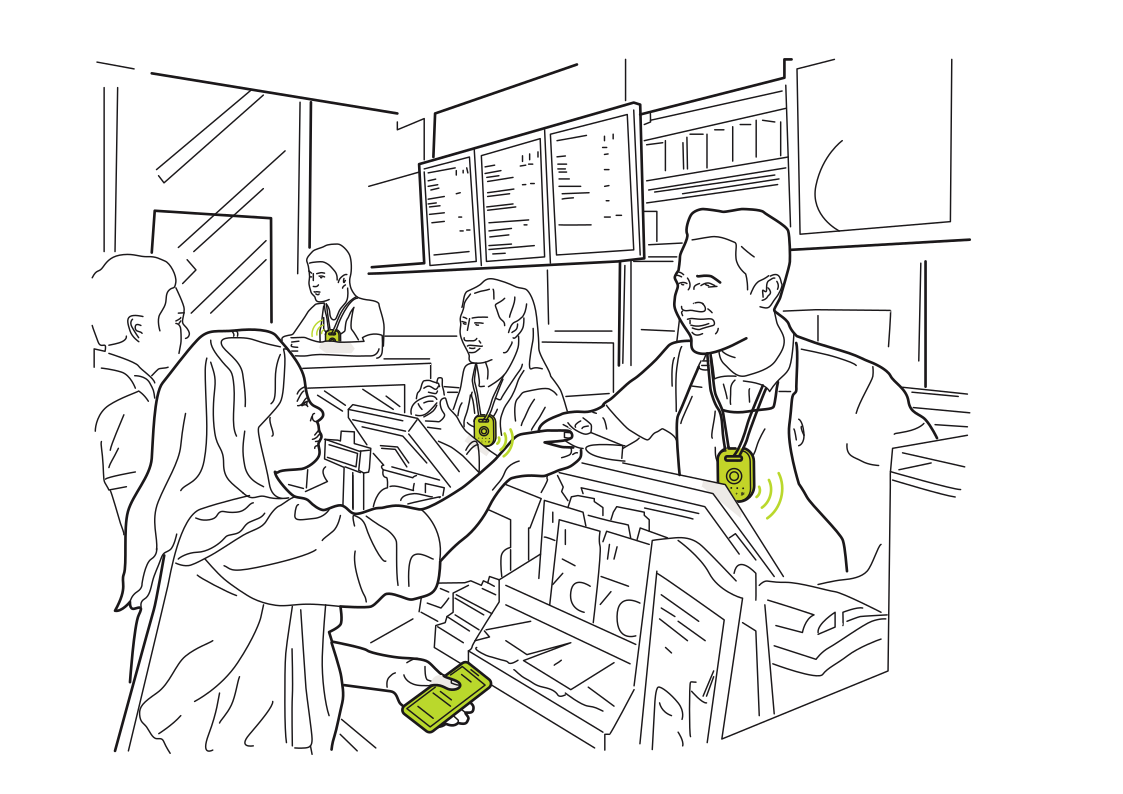 Service with a simple signalRead more
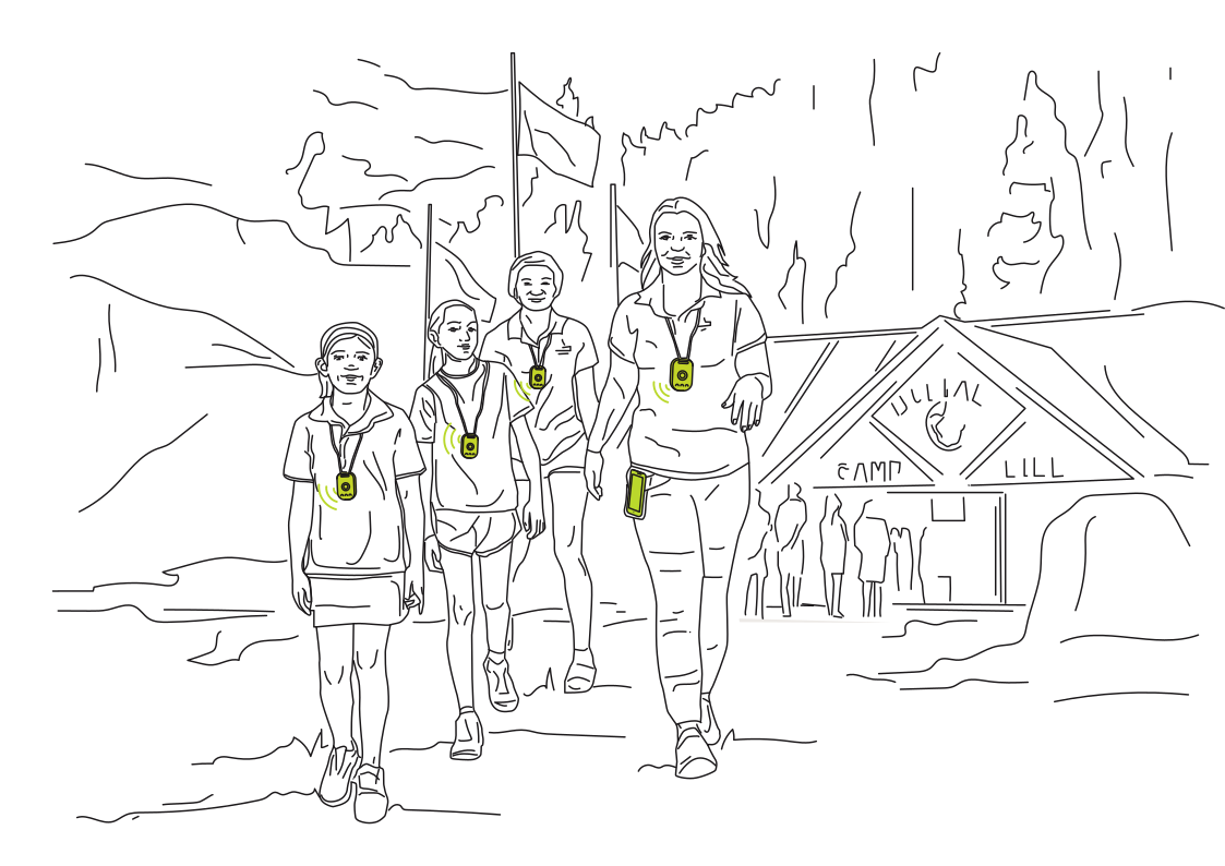 Check in at the next activityRead more
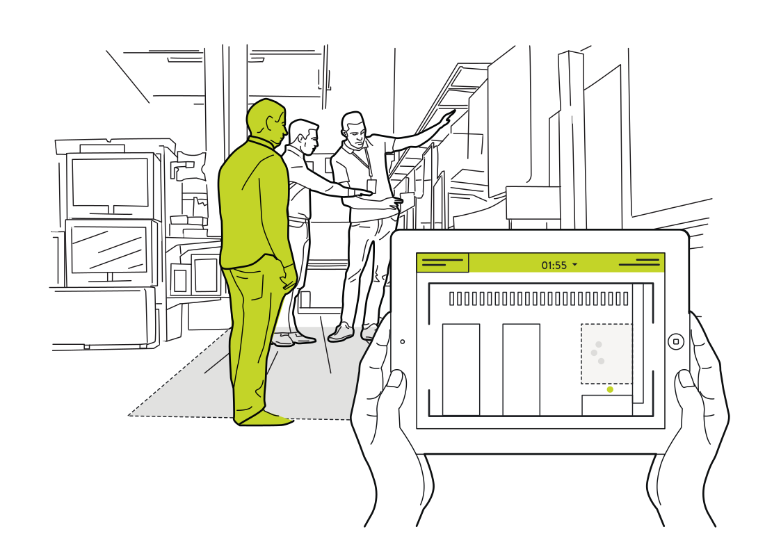 See where shoppers need supportRead more
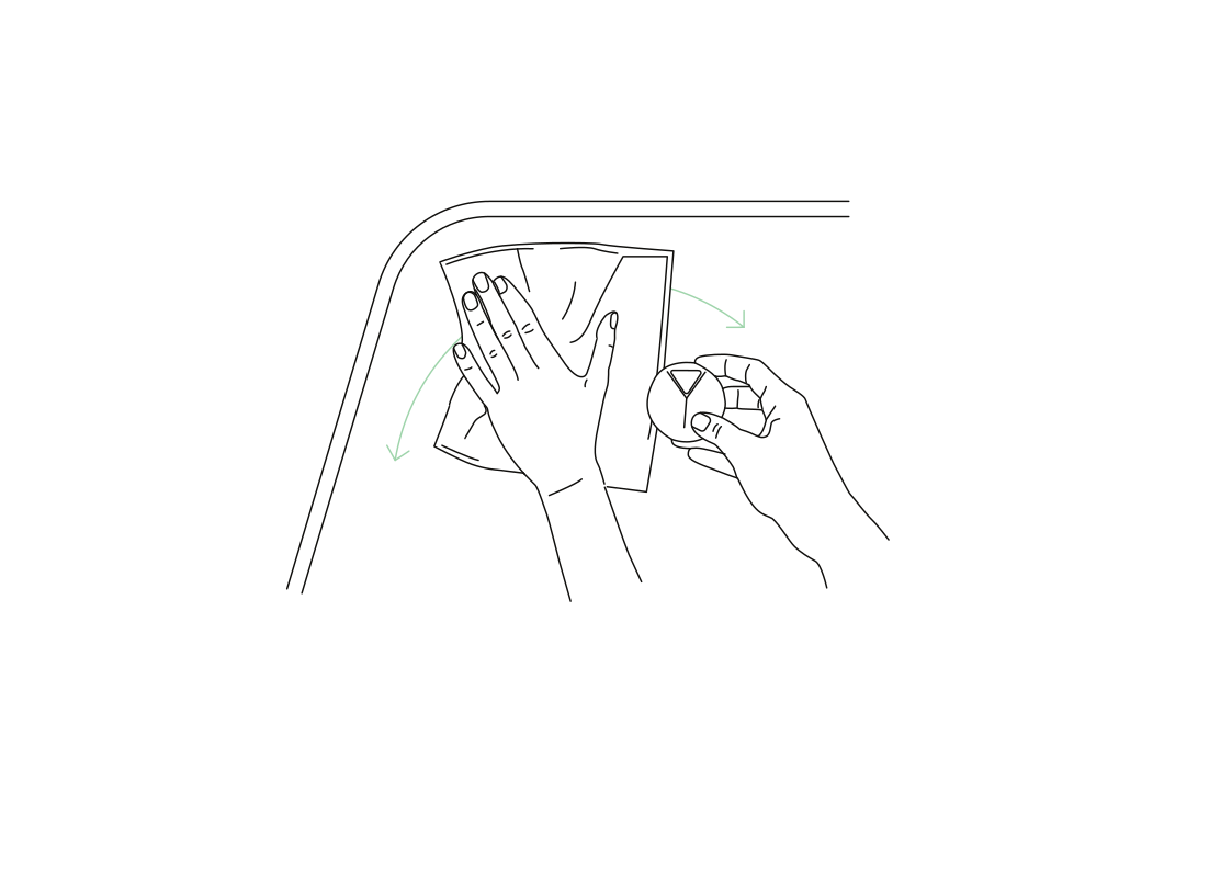 Record a cleaning checkRead more
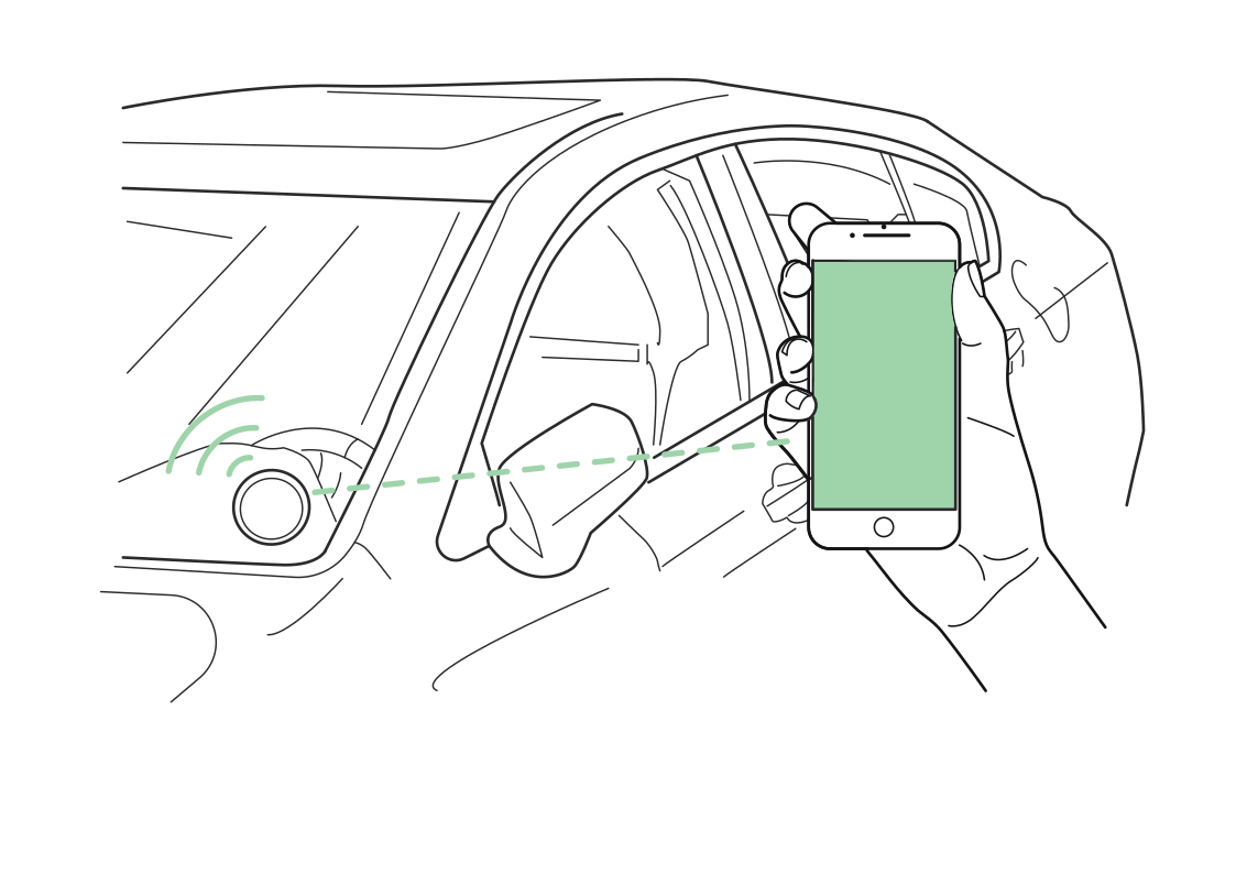 Recognize the car at your sideRead more
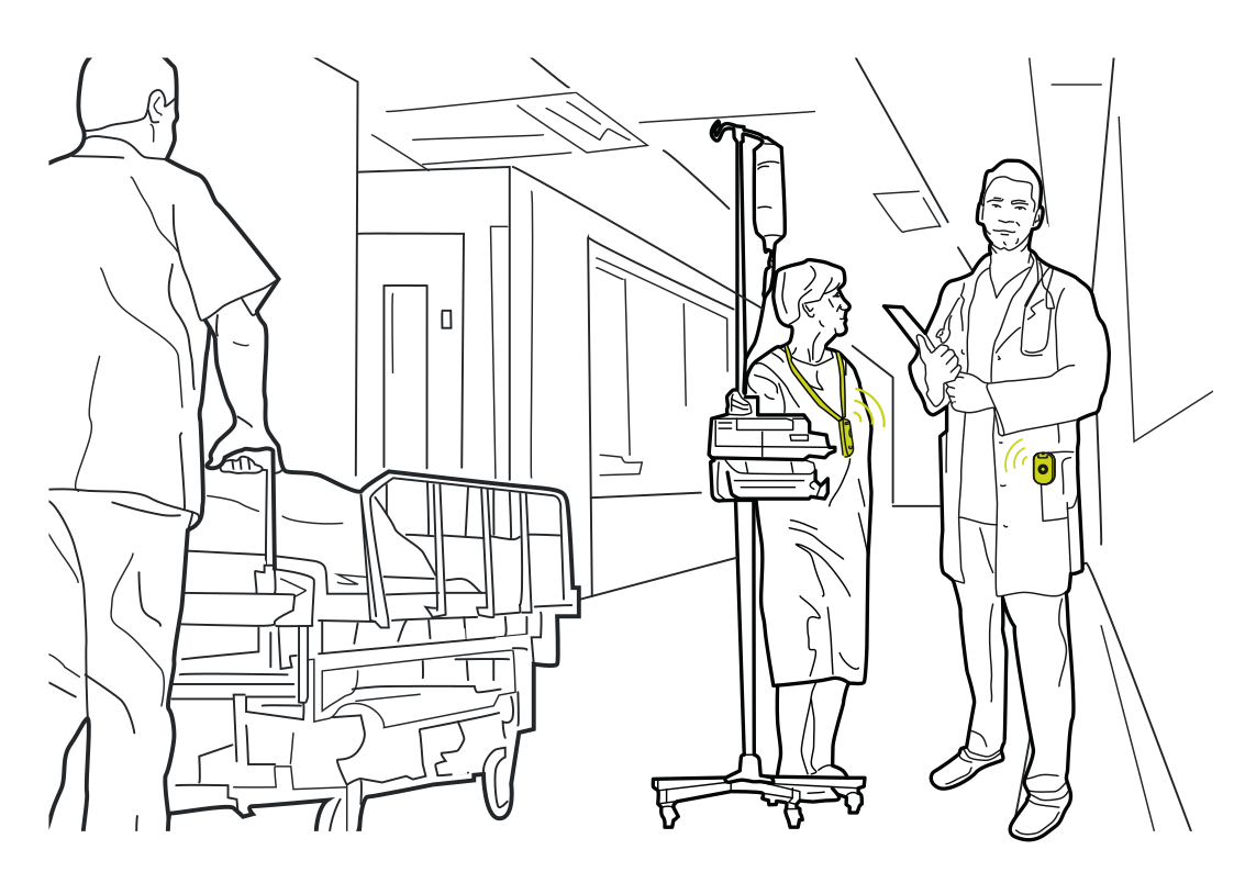 Bring care teams and equipment togetherRead more
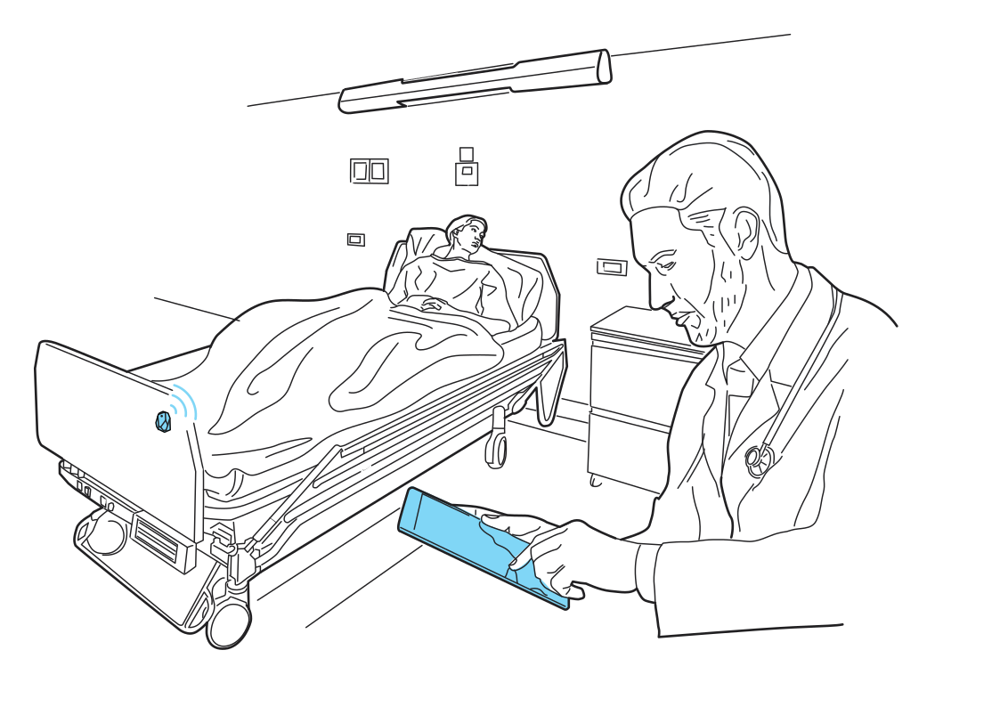 The right bed, the right recordRead more
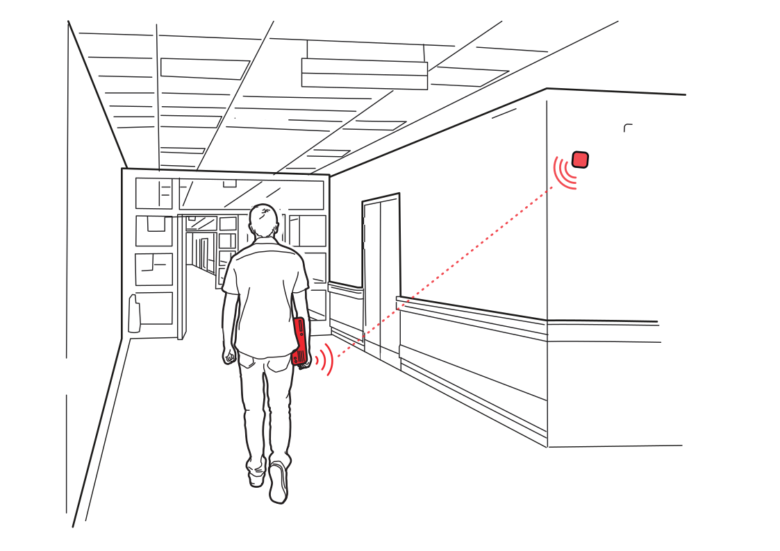 A prompt at the right doorwayRead more
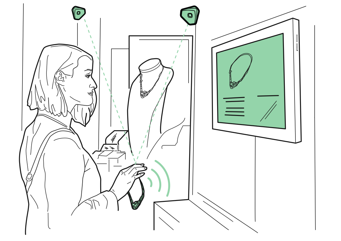 Let a display respondRead more
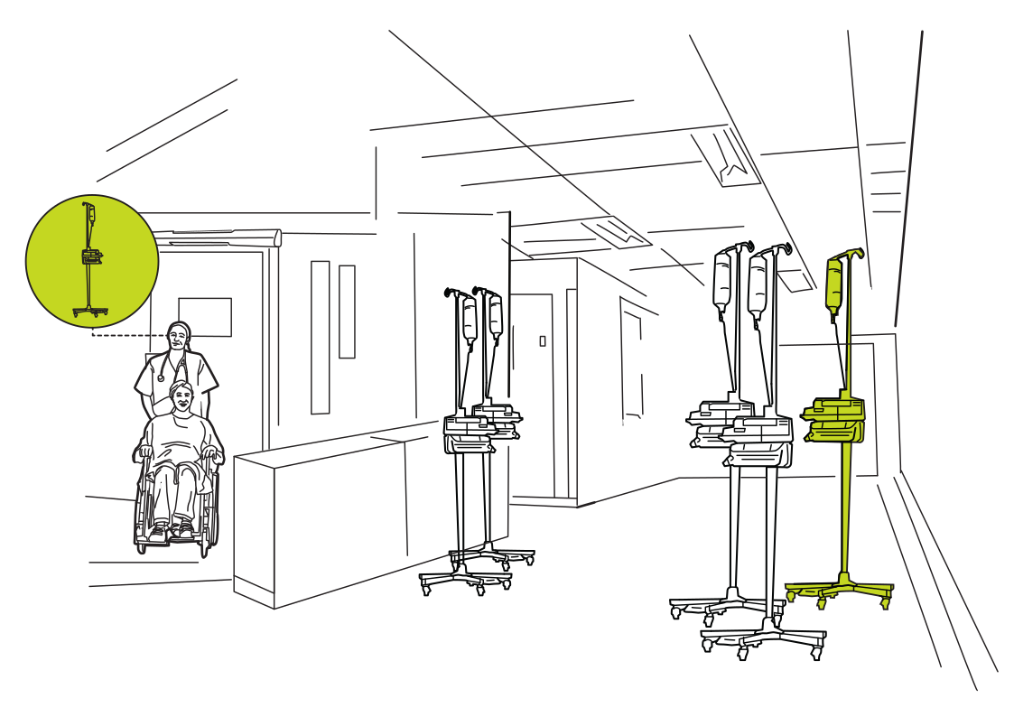 Find an available IV standRead more
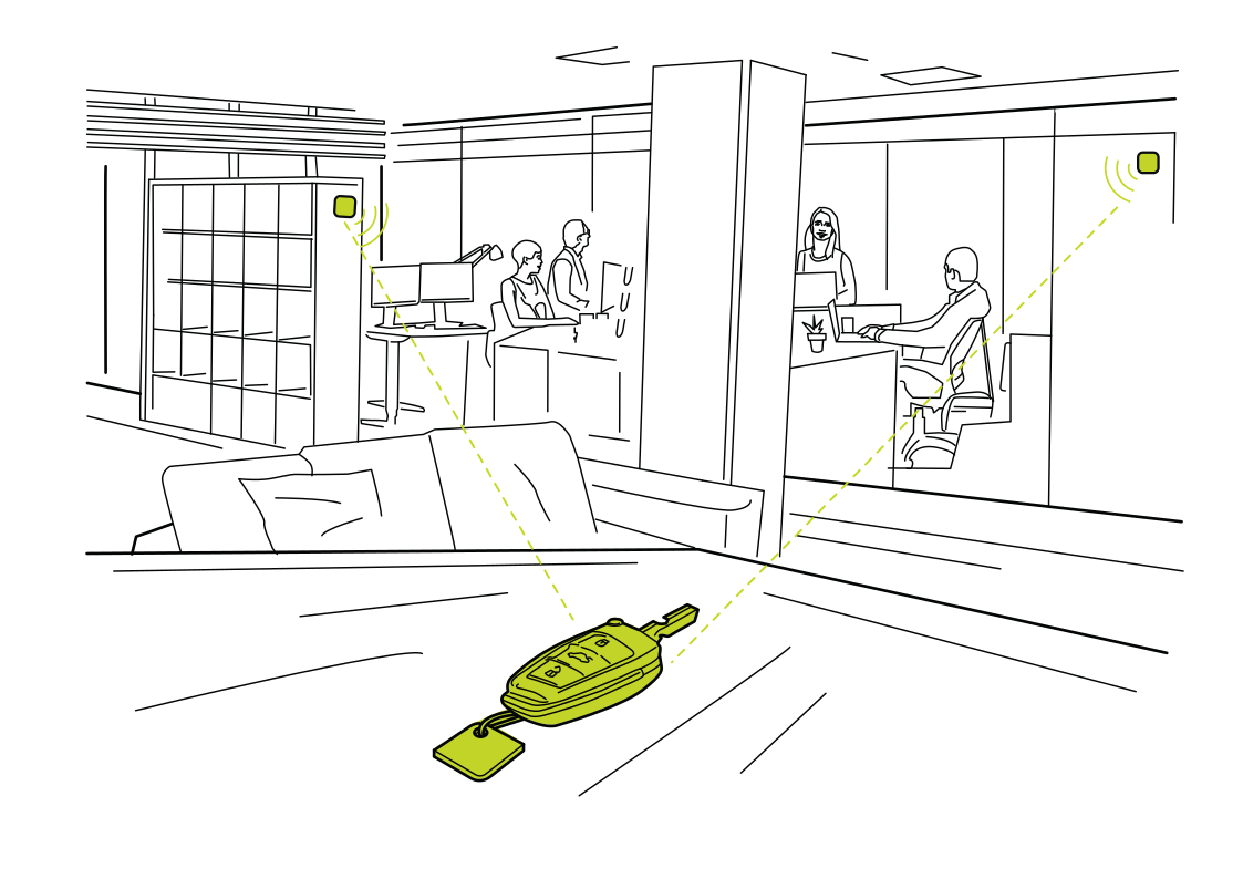 Find the missing keysRead more
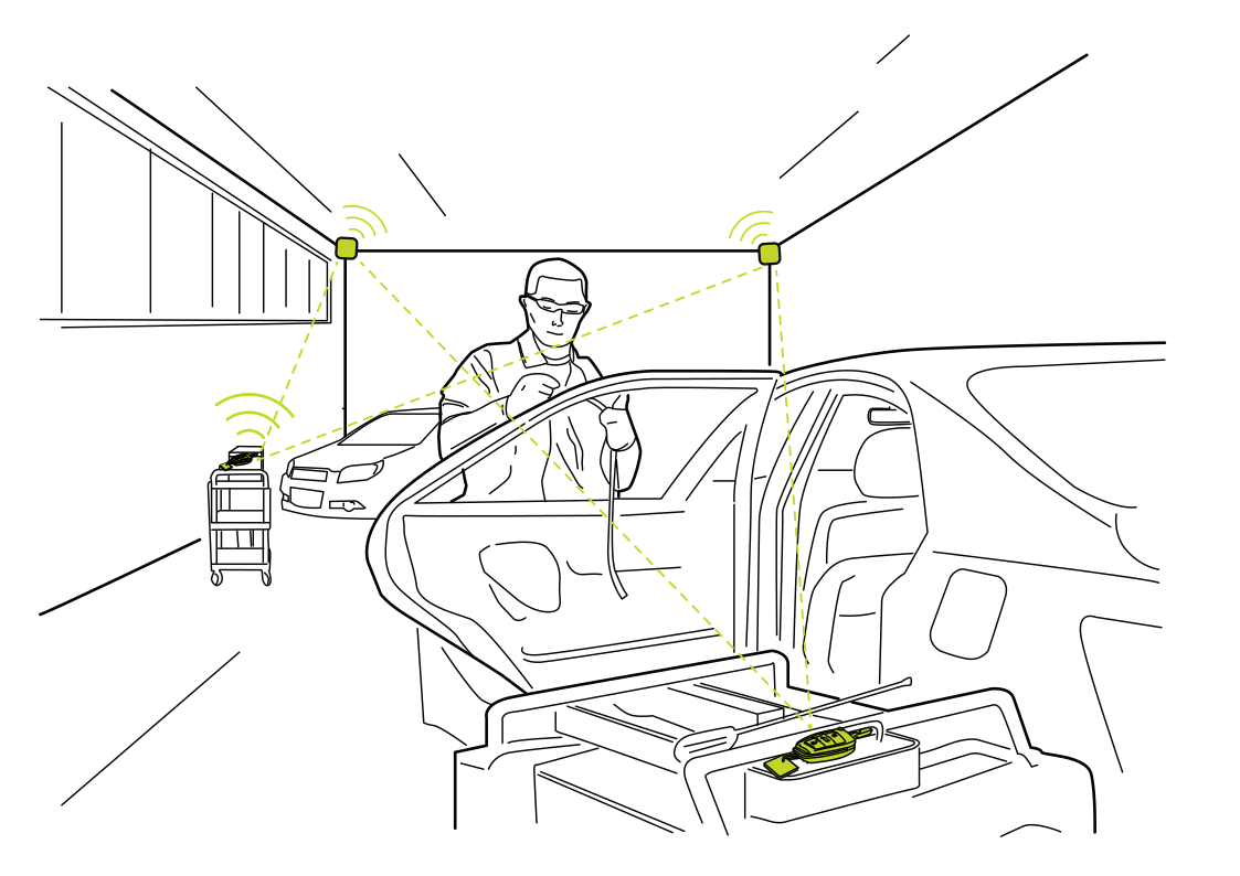 Keep vehicle kits togetherRead more
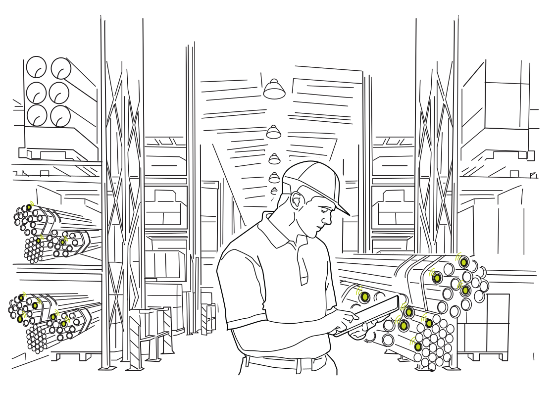 Find the right material batchRead more
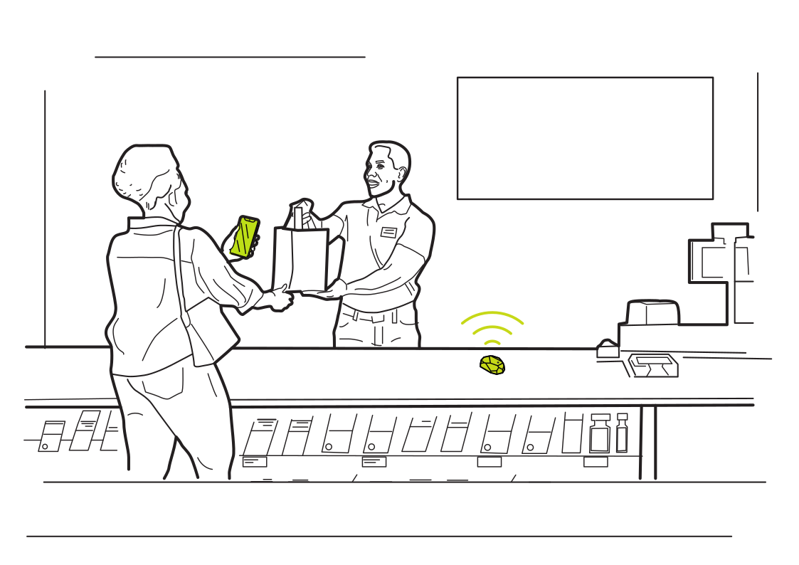 A welcome at the counterRead more
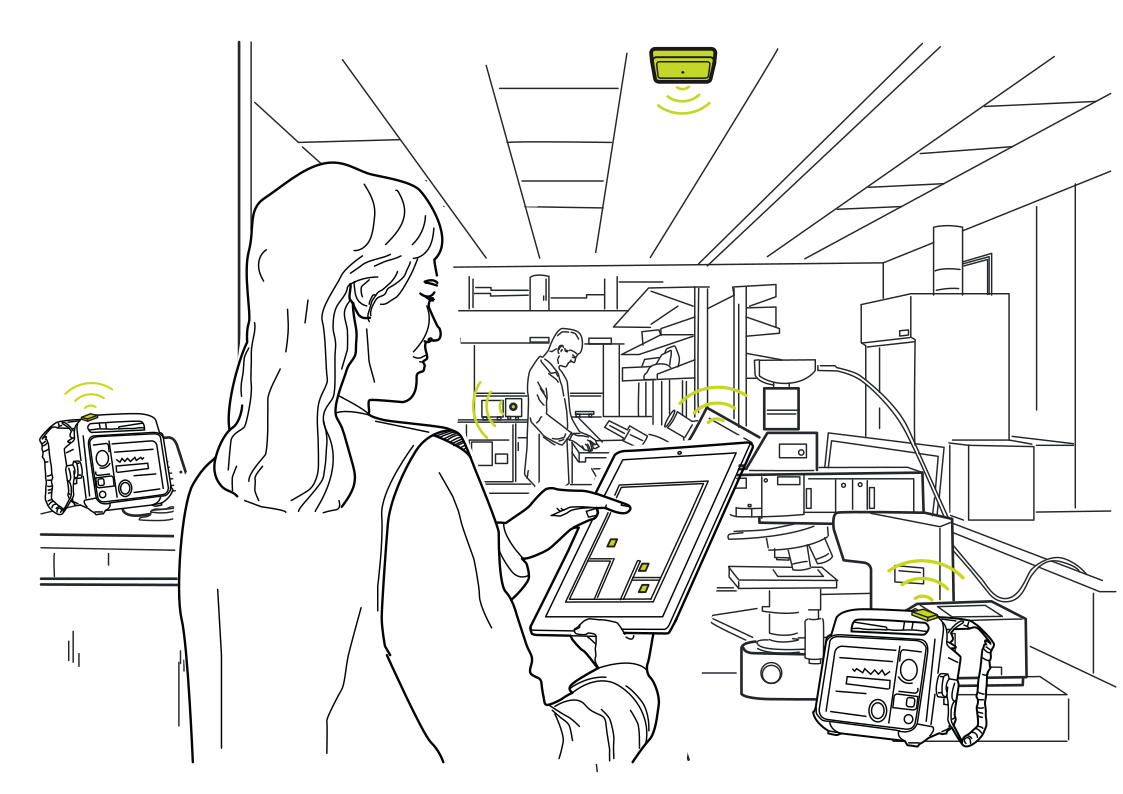 Locate shared lab equipmentRead more
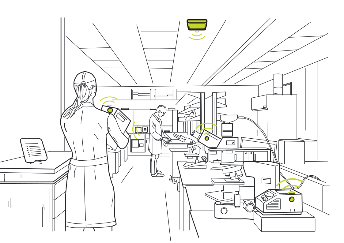 Keep instruments in viewRead more
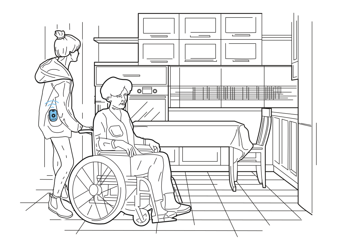 Support that follows the visitRead more
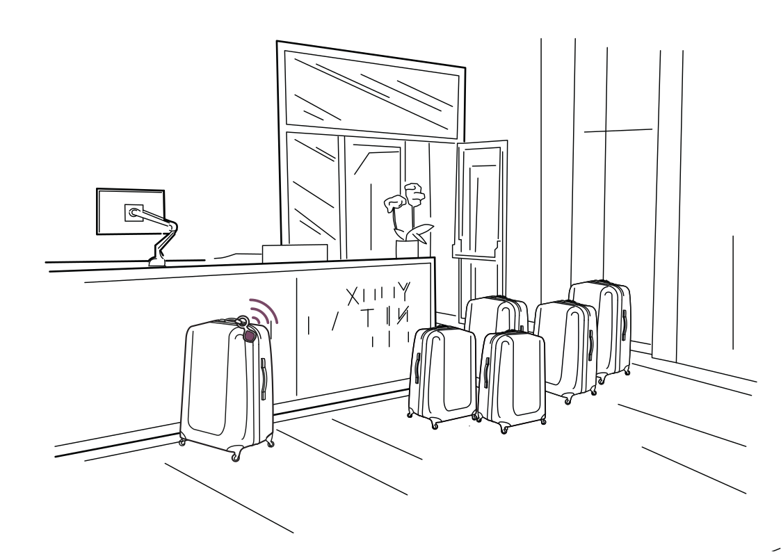 Know where guests left their bagsRead more
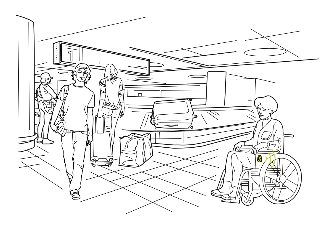 An easier route through arrivalsRead more
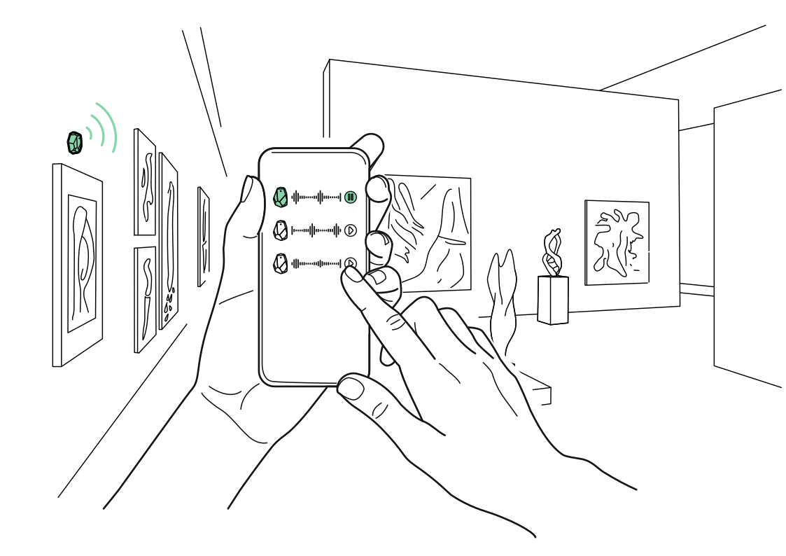 A soundtrack for each galleryRead more
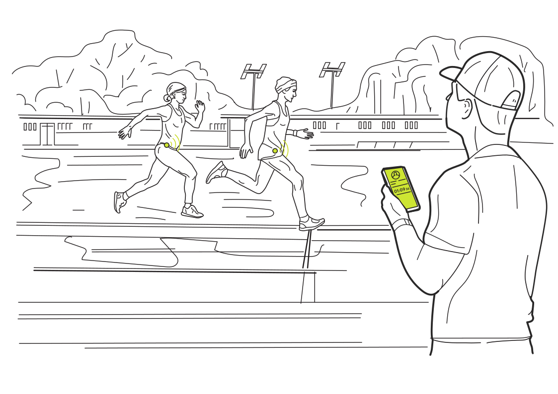 Bring location into trainingRead more
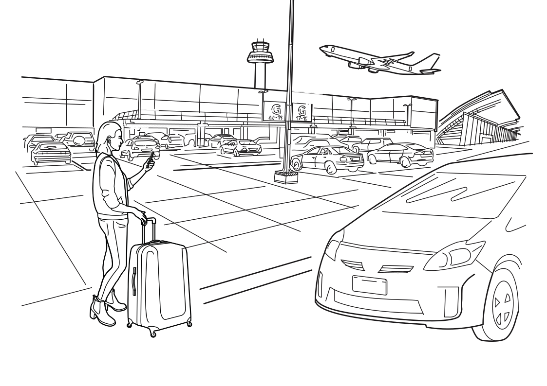 From the terminal to your carRead more
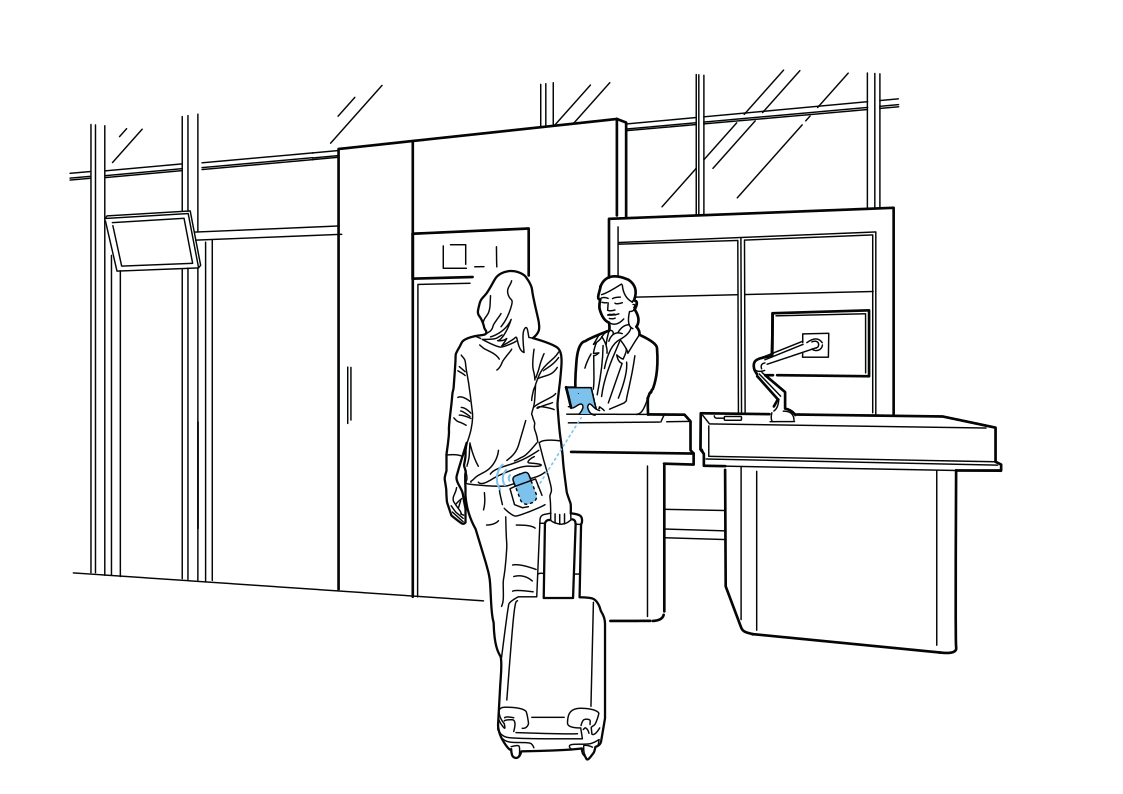 Check in at the right counterRead more
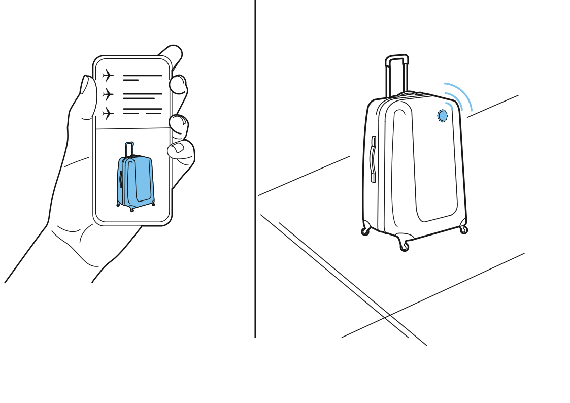 A travel record for your bagRead more
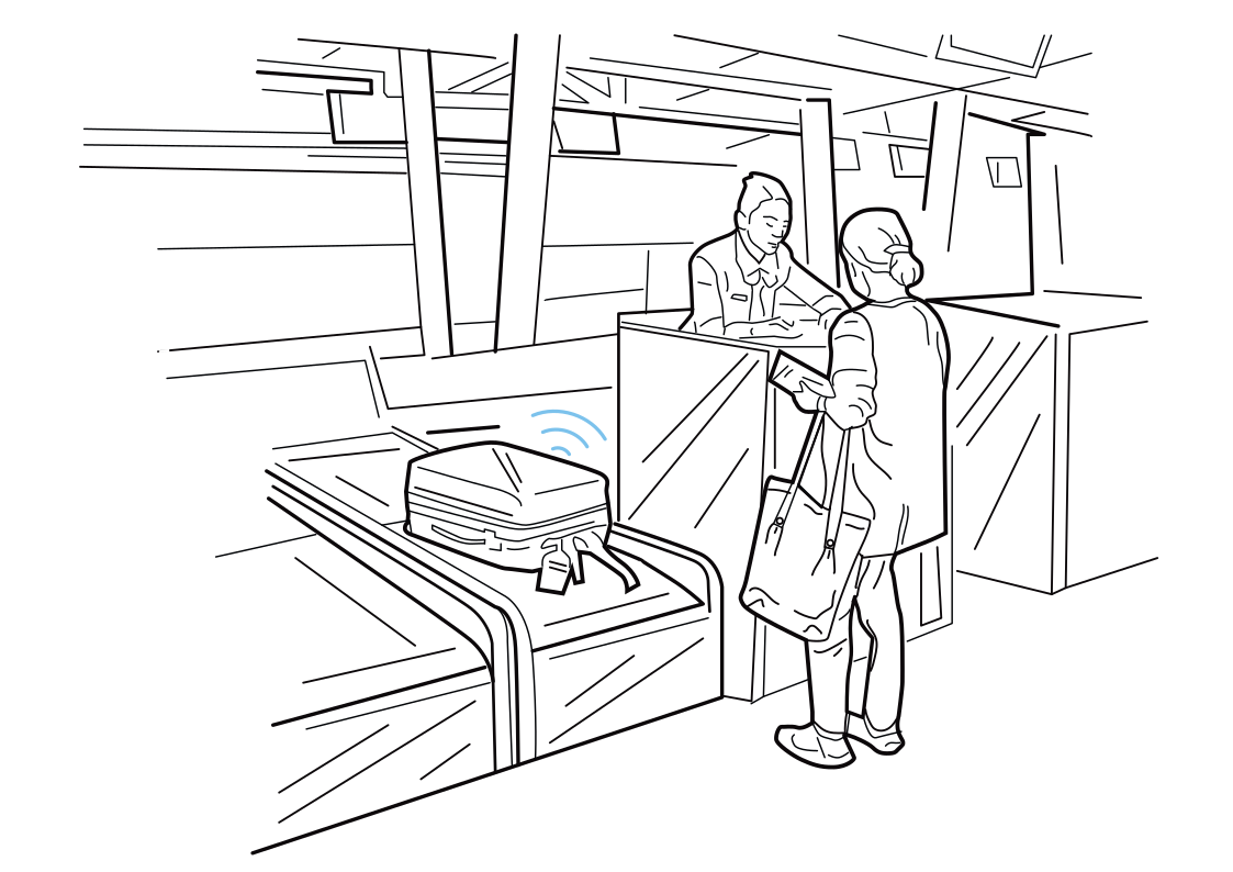 Connect the bag-drop handoffRead more
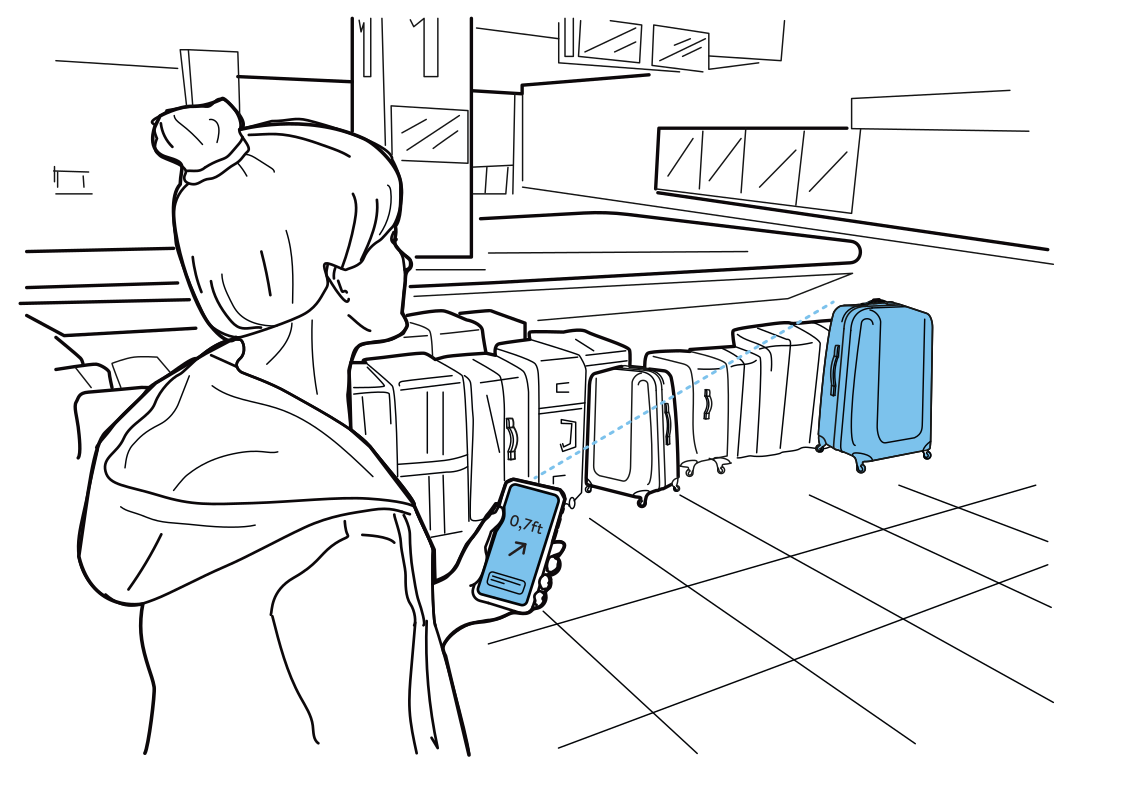 Spot your bag at arrivalsRead more
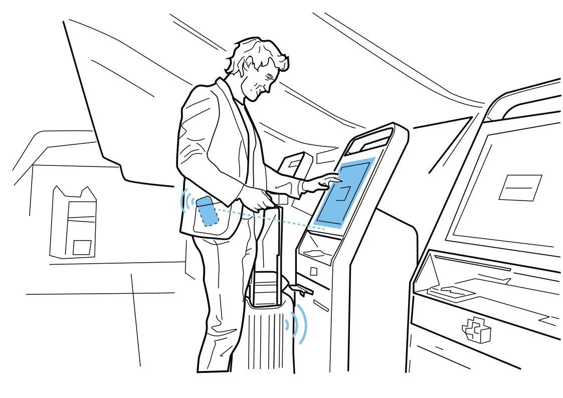 A kiosk that knows where you areRead more
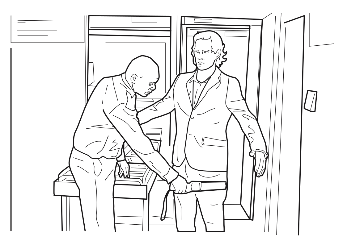 Prepare for security screeningRead more
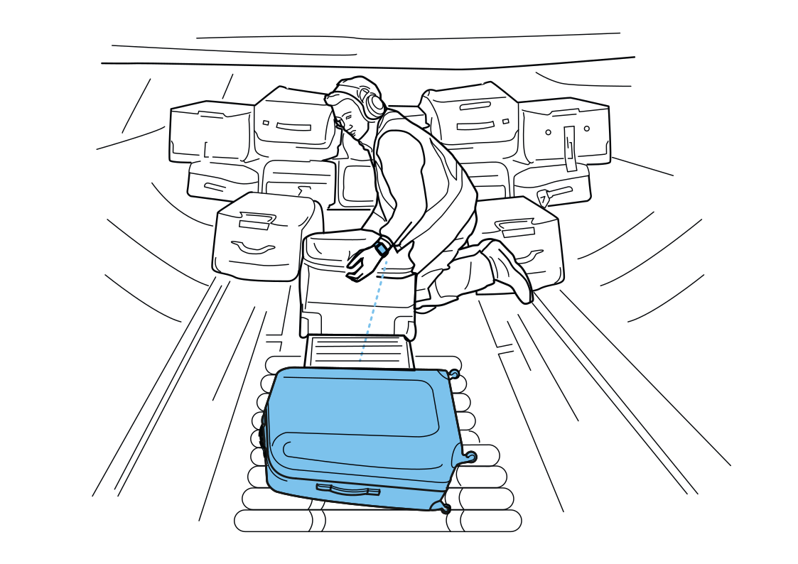 Find the bag that needs attentionRead more
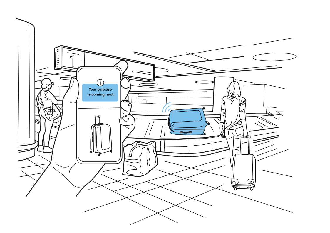 A heads-up at baggage claimRead more
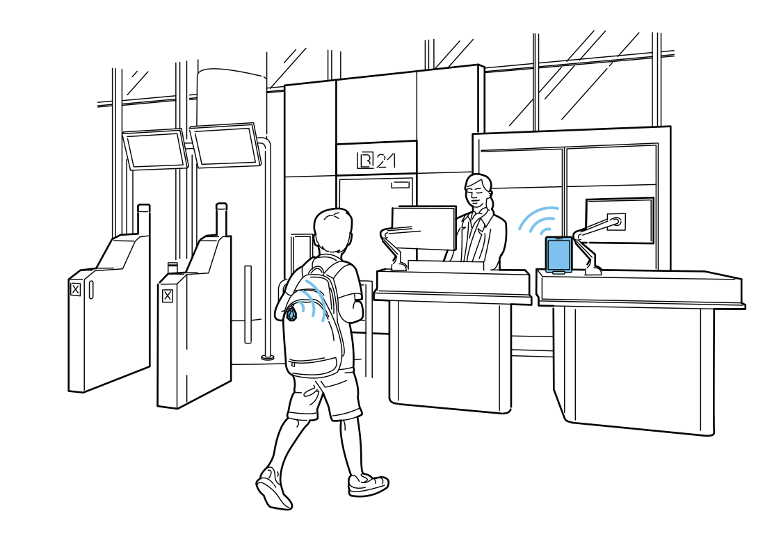 Make family check-in easierRead more
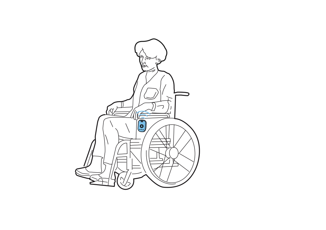 Assistance within reachRead more
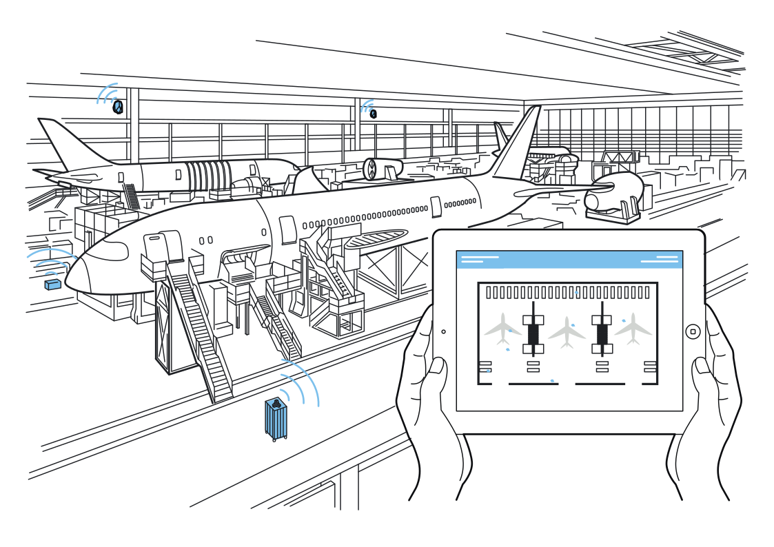 One view of ground equipmentRead more
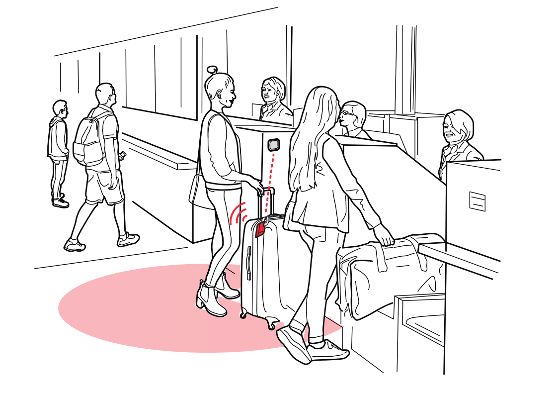 Keep check-in lines movingRead more
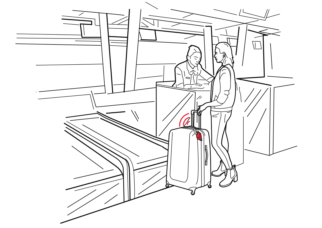 Notice the bag-drop transitionRead more
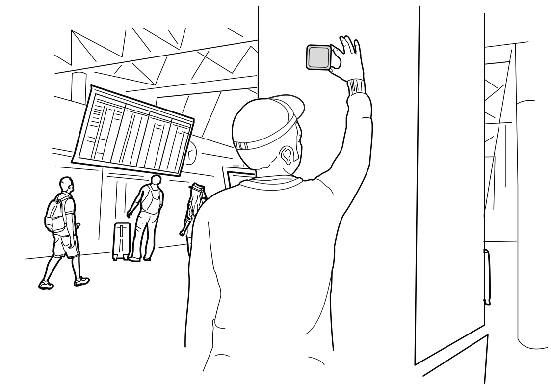 Make terminal landmarks digitalRead more
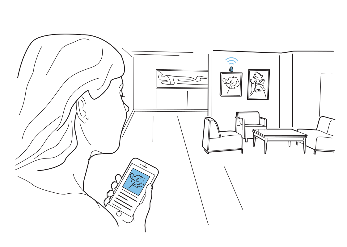 Discover the story on the wallRead more
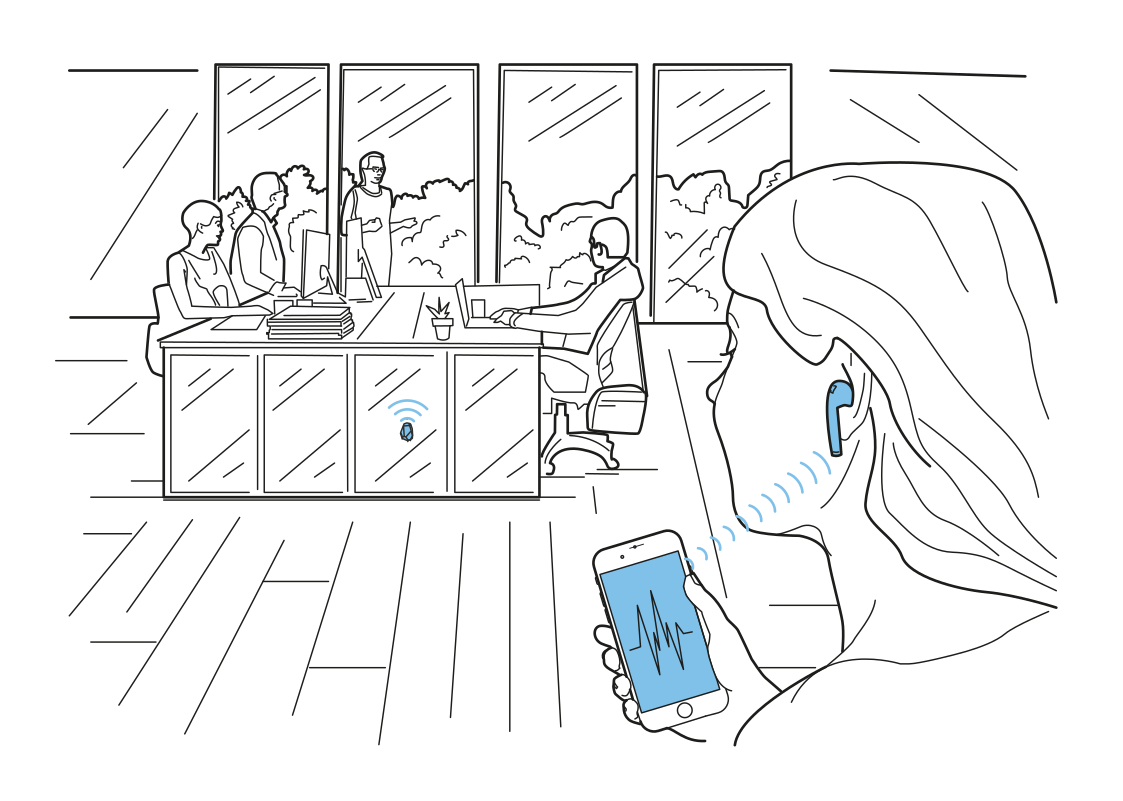 Audio for the space around youRead more
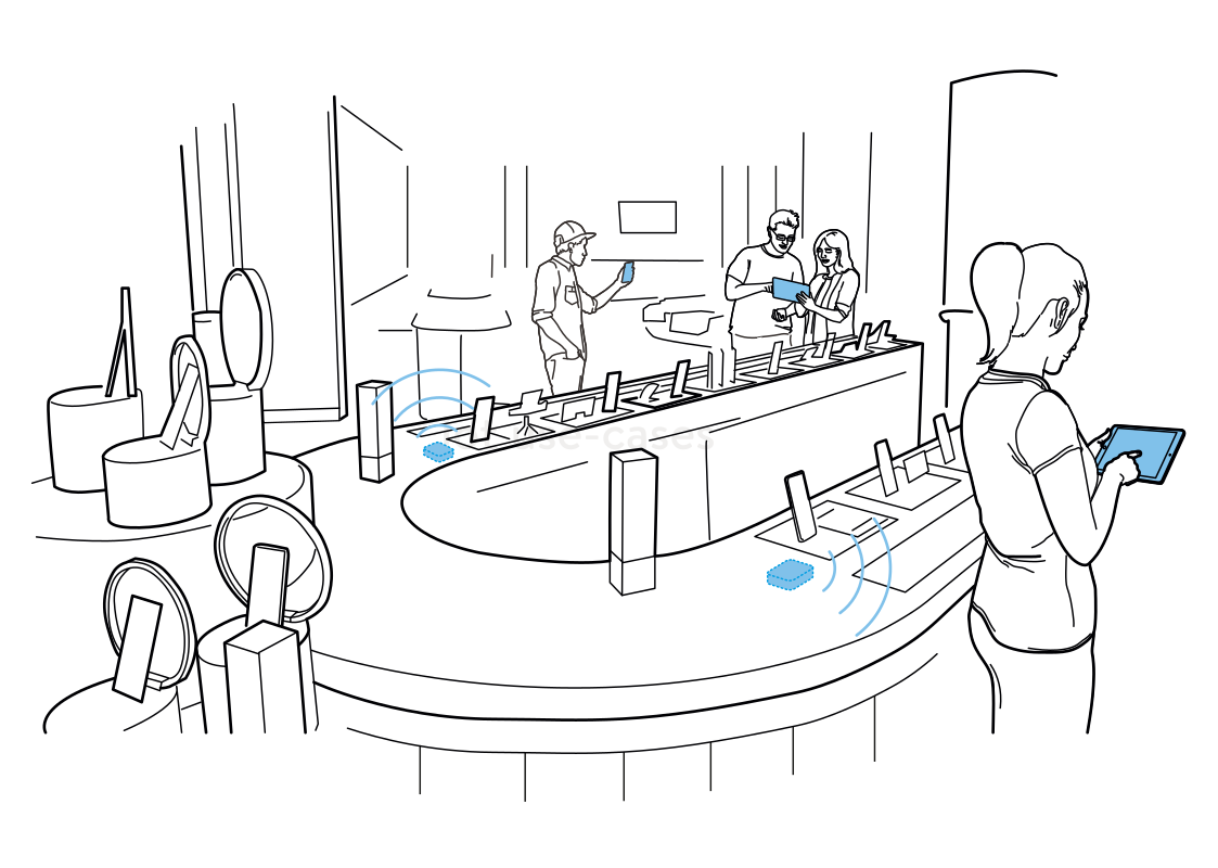 Bring product details closerRead more
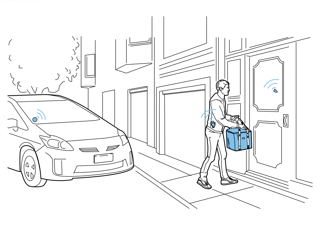 Confirm the delivery stopRead more
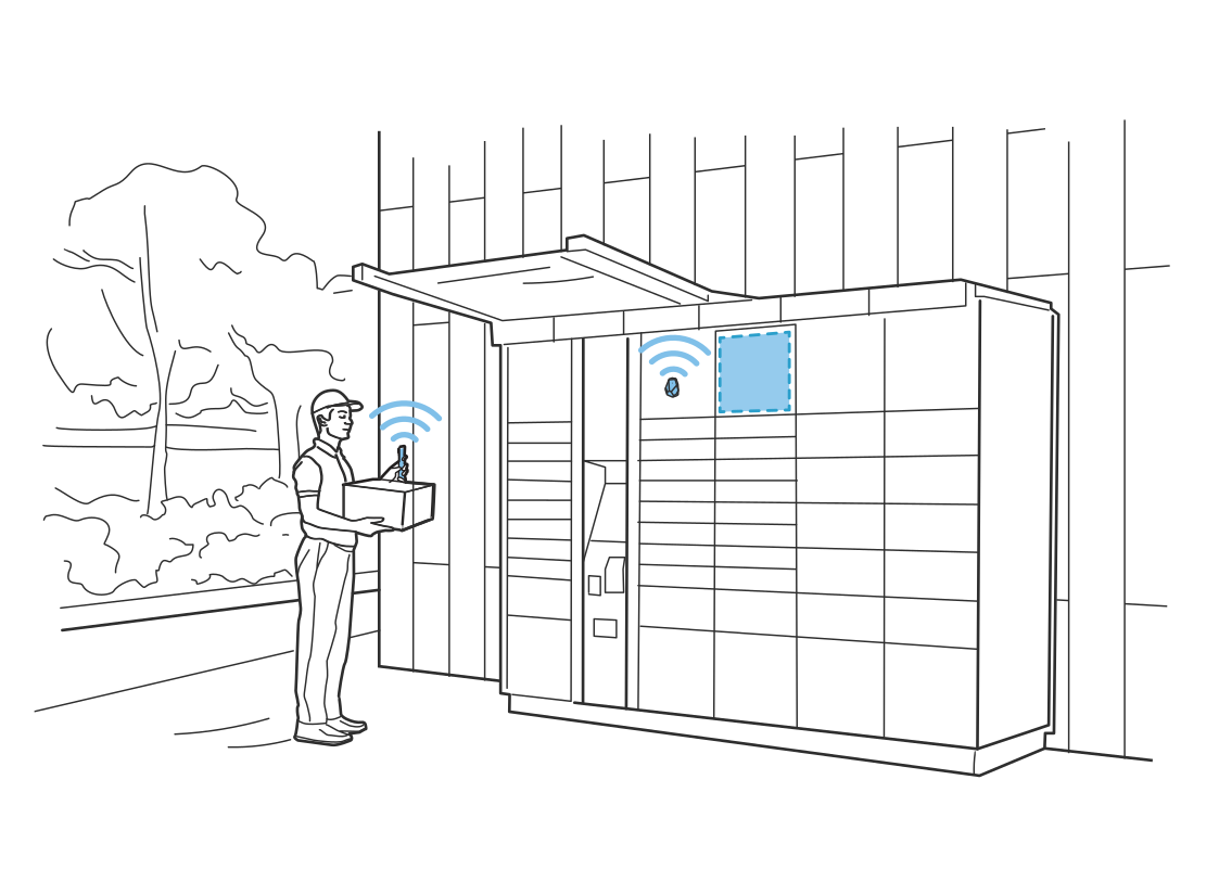 Find the right parcel lockerRead more
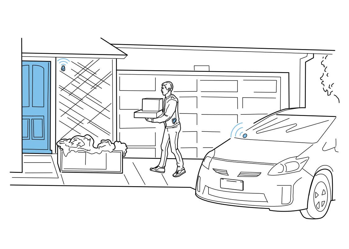 A clearer last few metersRead more
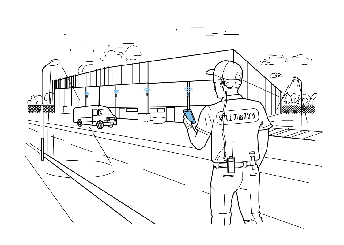 Record patrols along the routeRead more
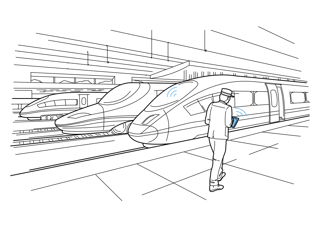 Connect platform inspectionsRead more
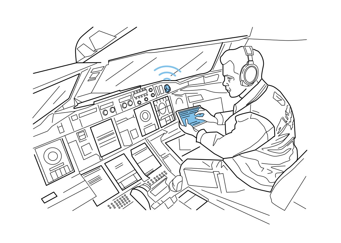 The right checklist in reachRead more
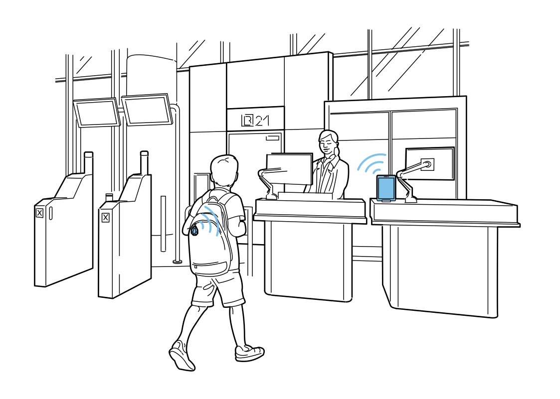 Guide young travelers at check-inRead more
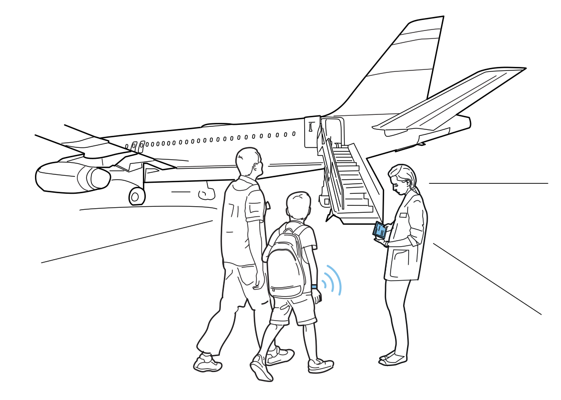 A clearer boarding handoffRead more
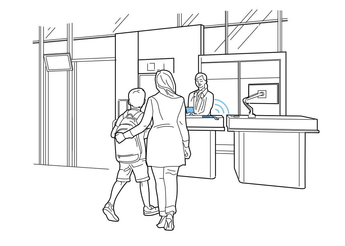 Help at the service deskRead more
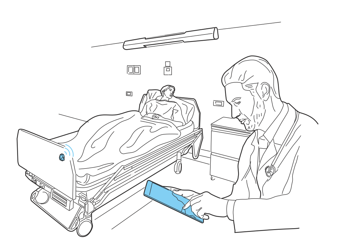 Know when a bed changes areaRead more
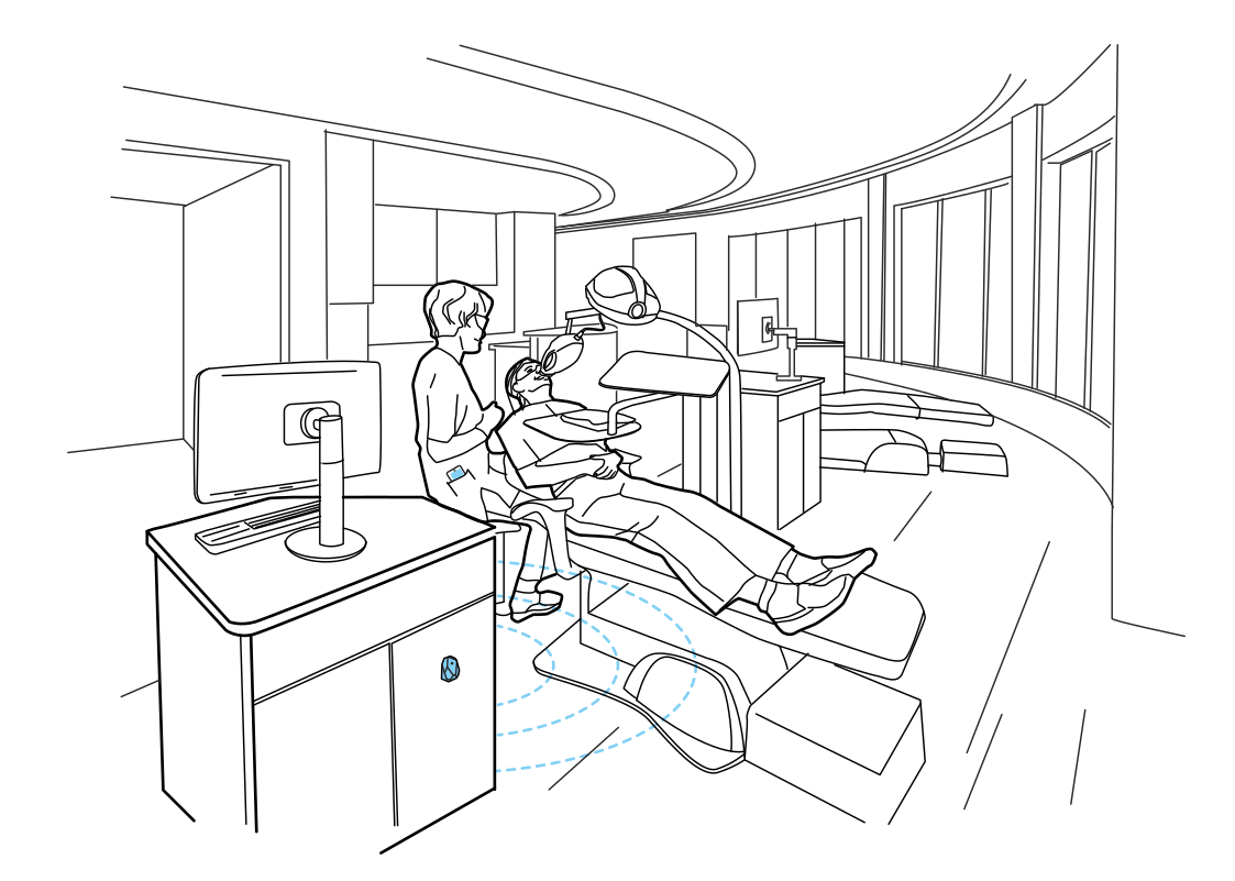 Coordinate the treatment roomRead more
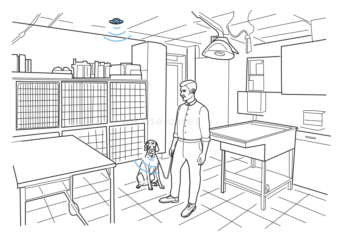 Know which room the pet is inRead more
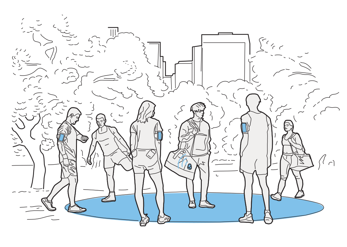 Plan around the way people moveRead more
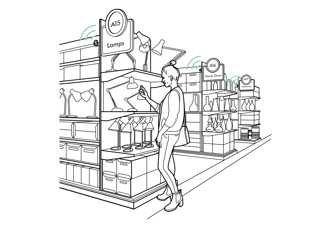 Help shoppers find the aisleRead more
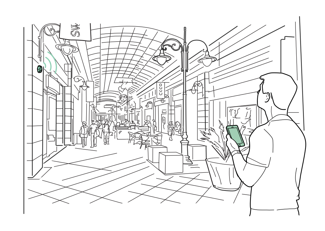 Discover more along the mallRead more
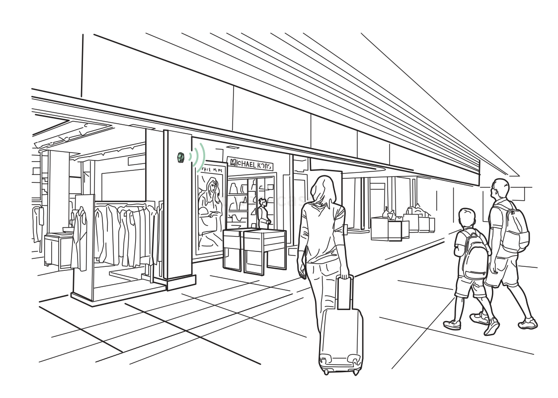 Useful offers on the wayRead more
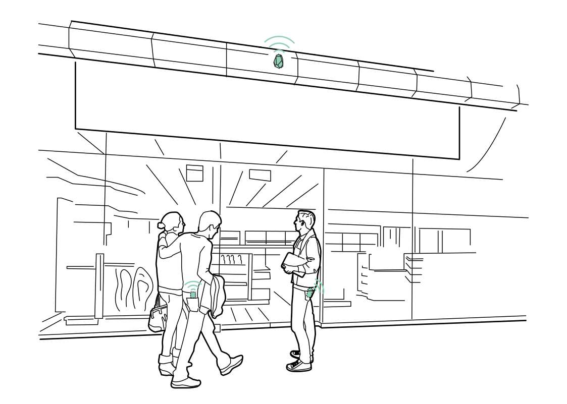 Understand the store entranceRead more
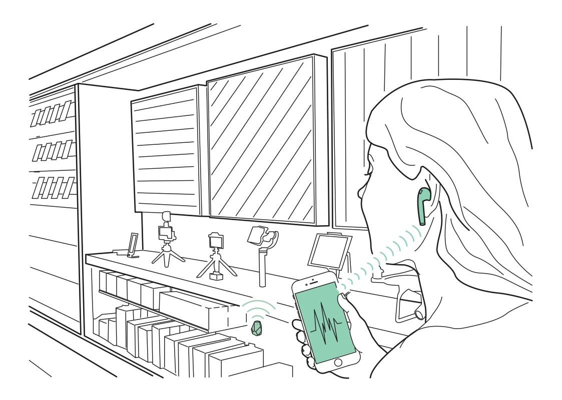 Listen to the product storyRead more
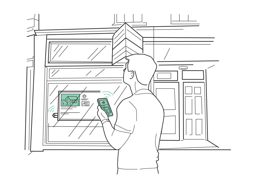 Explore a property from the windowRead more
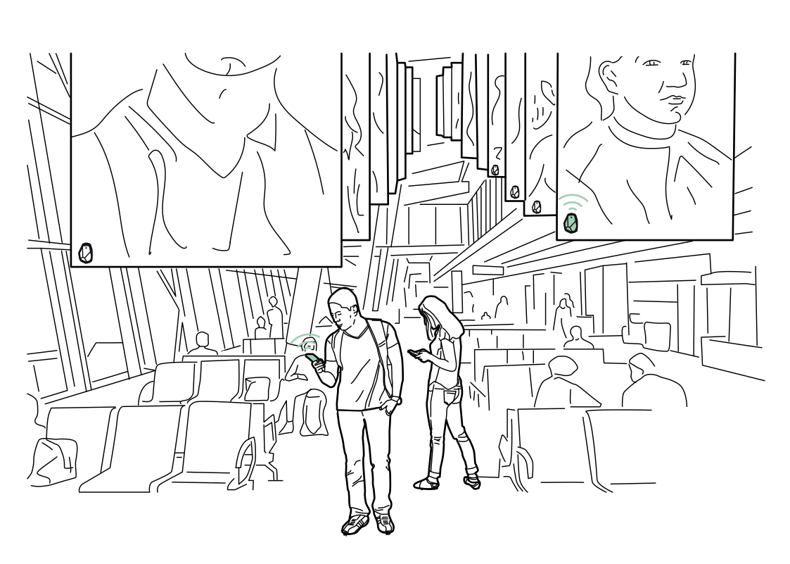 Content for the waiting areaRead more
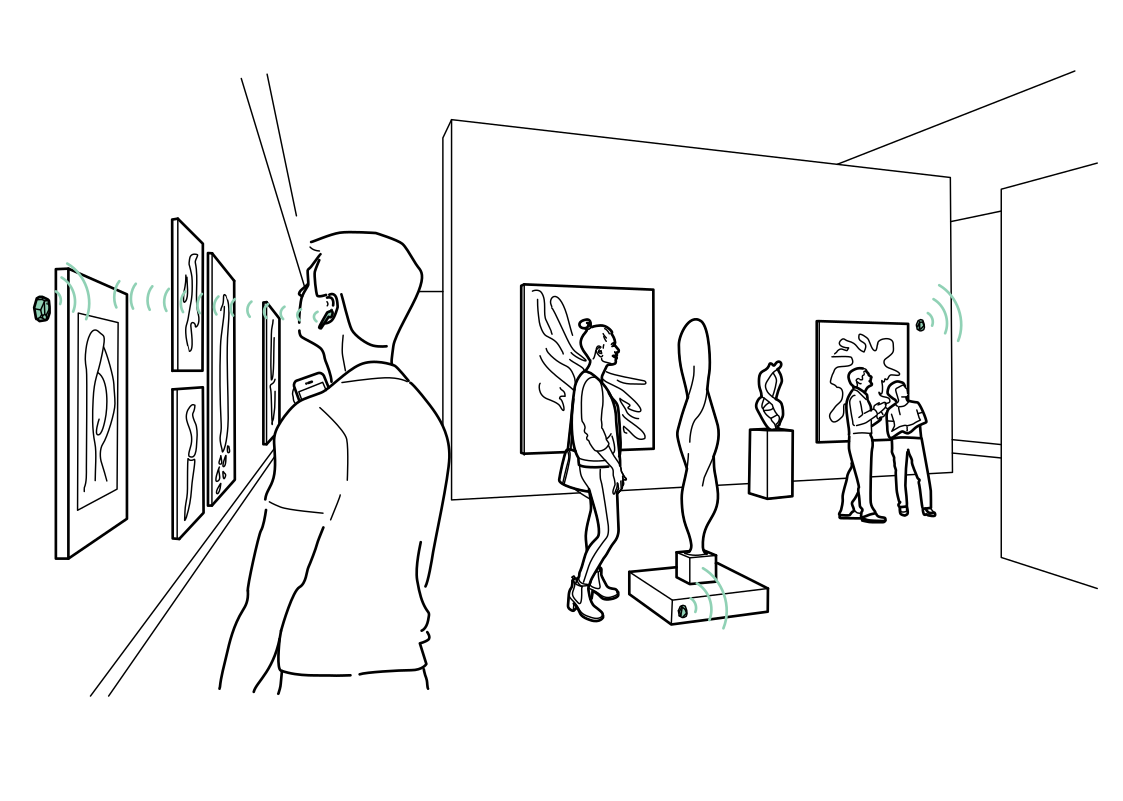 A guide that follows your visitRead more
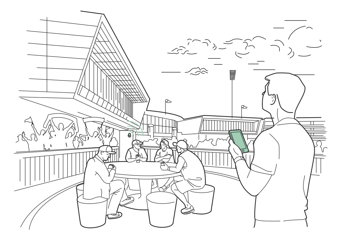 Match-day services nearbyRead more
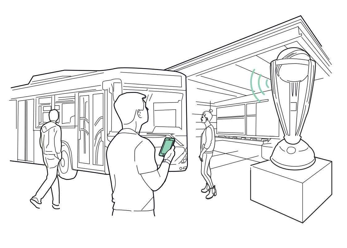 Let the trophy tell its storyRead more
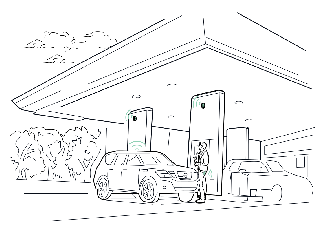 Find the charging pointRead more
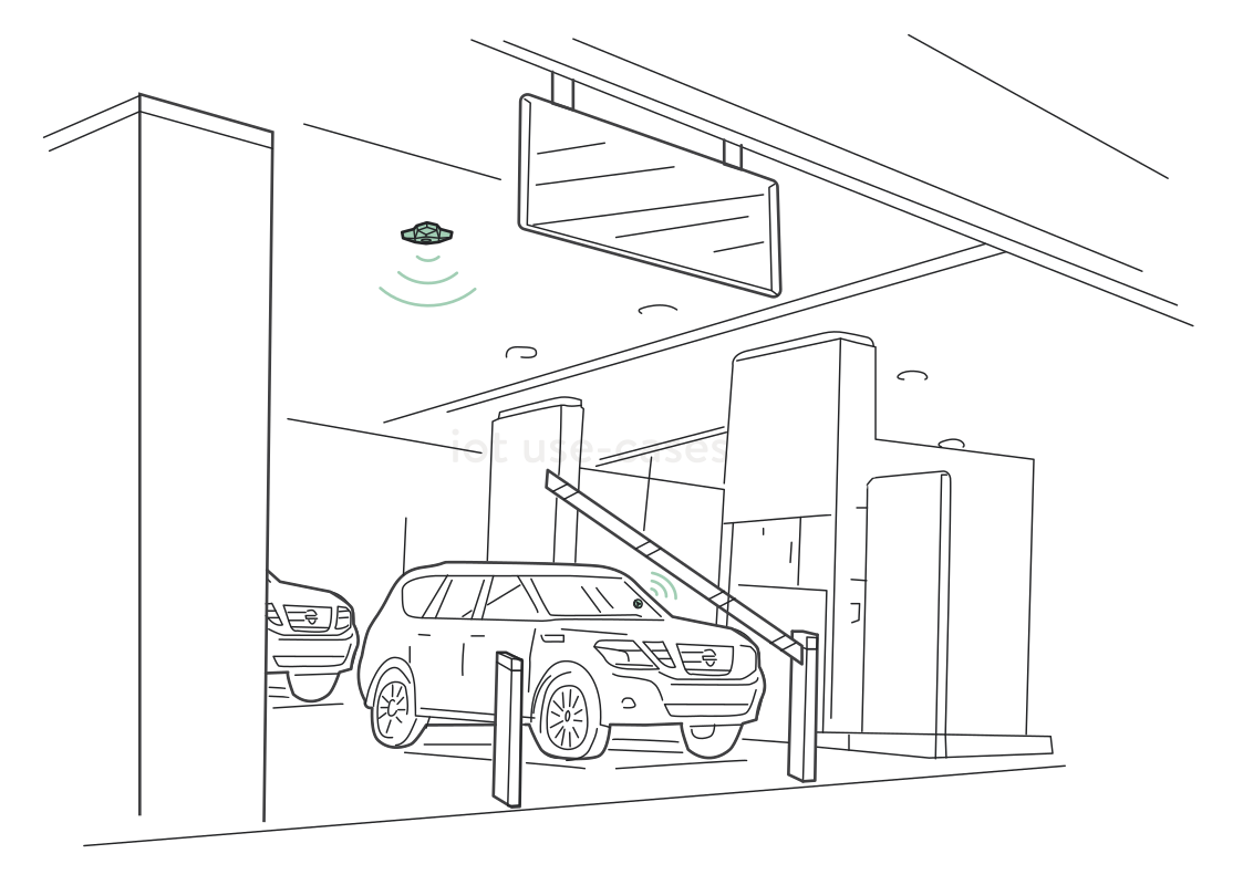 Know when a vehicle is waitingRead more
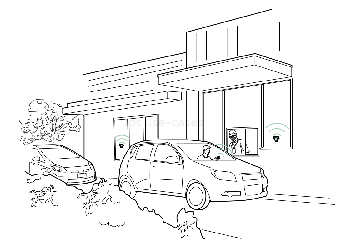 A more responsive drive-thruRead more
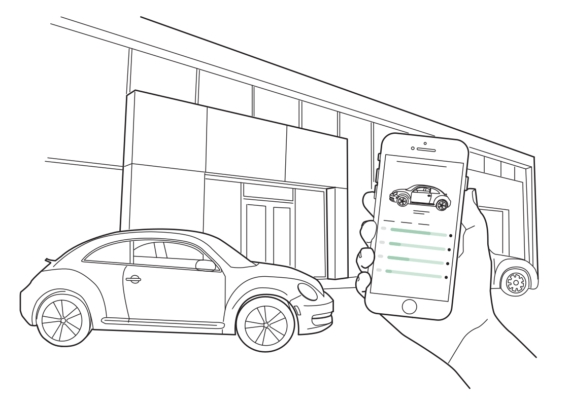 Find the car you bookedRead more
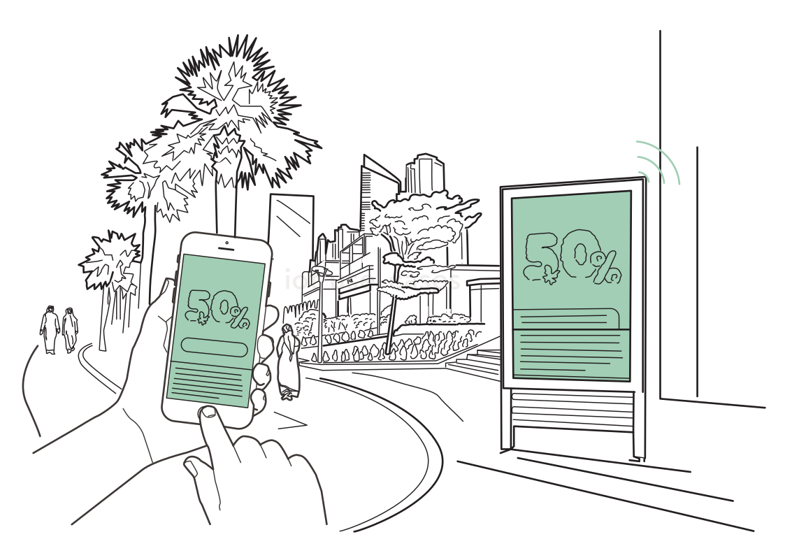 Take the offer with youRead more
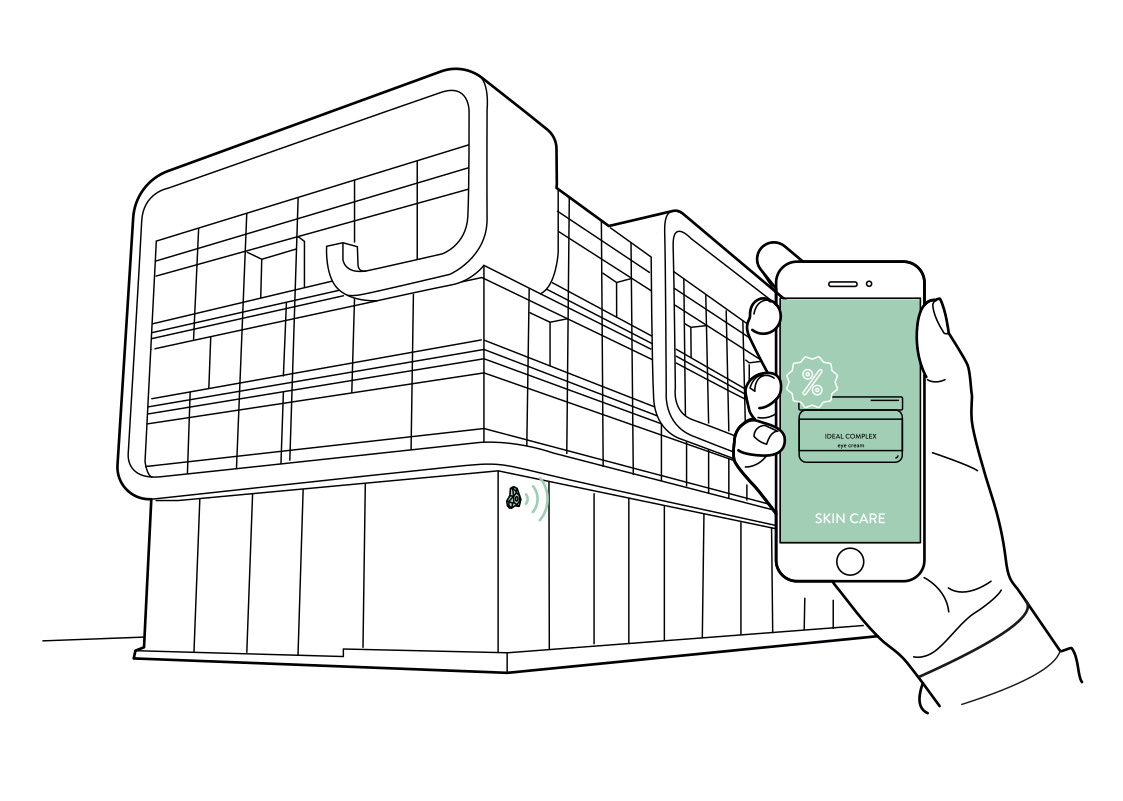 Discover what's inside the storeRead more
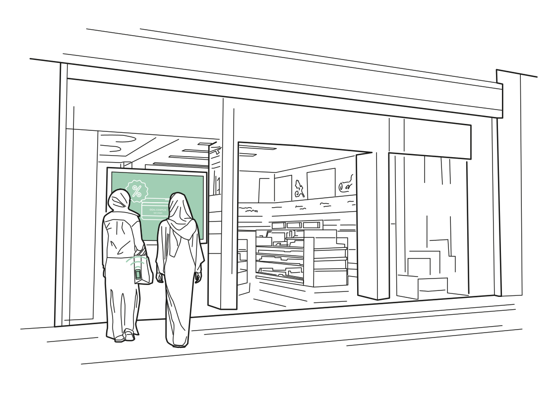 A window that invites discoveryRead more
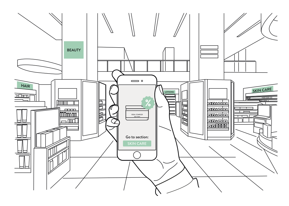 From an offer to the right aisleRead more
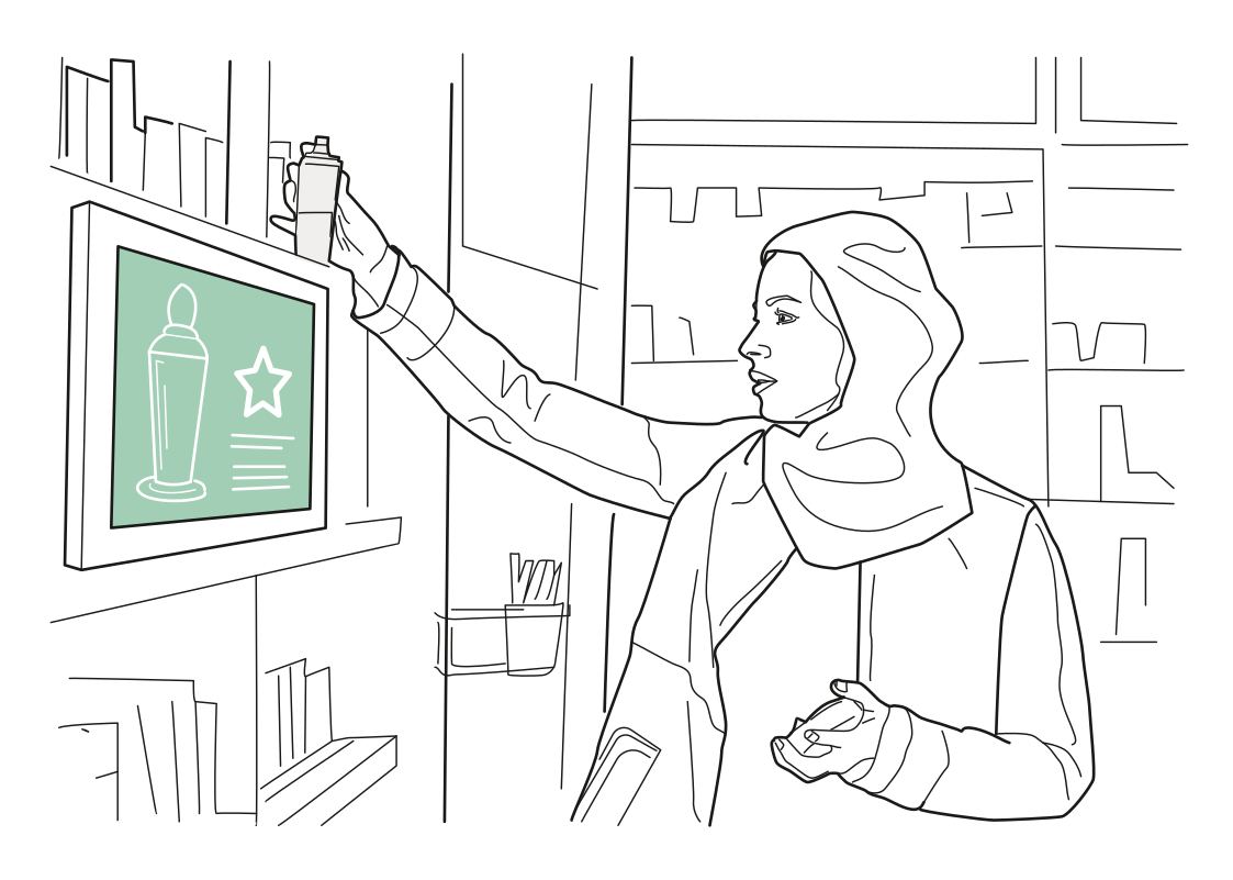 Product information at a glanceRead more
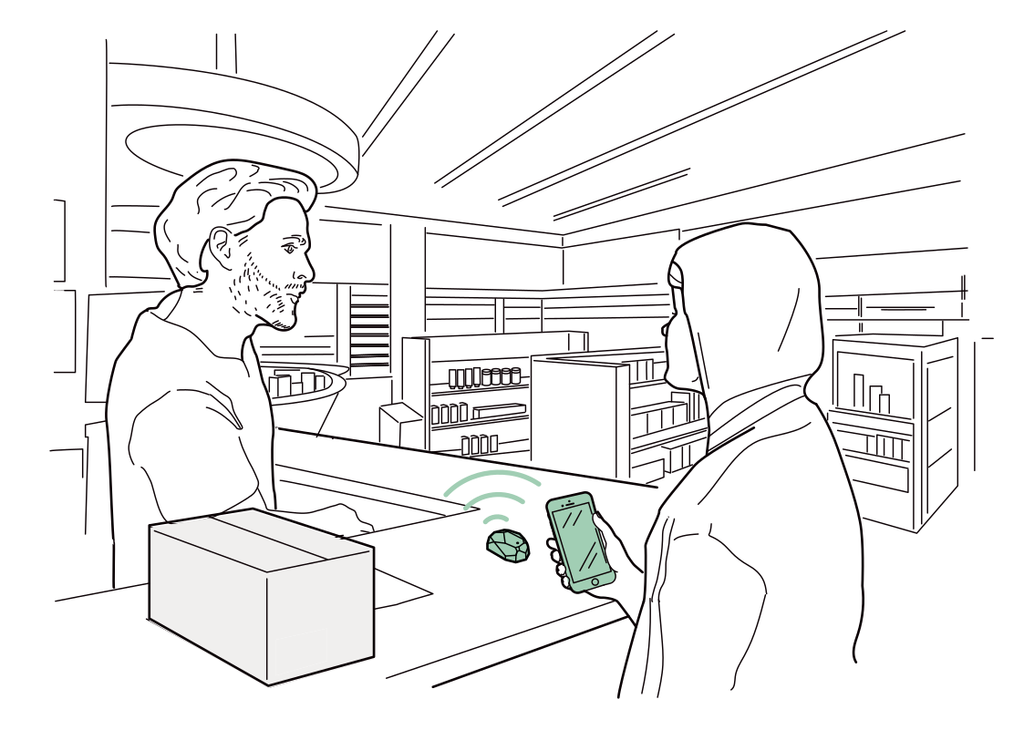 Make the counter recognizableRead more
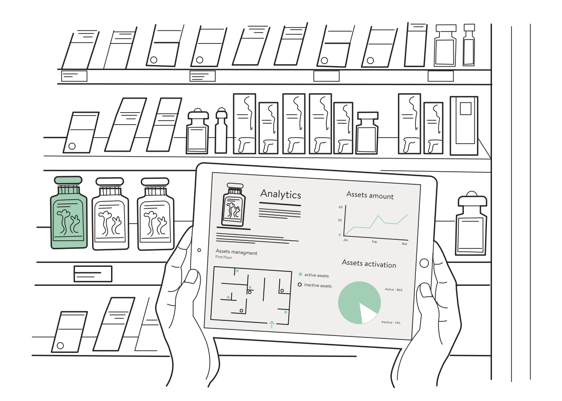 Put display stock on the mapRead more
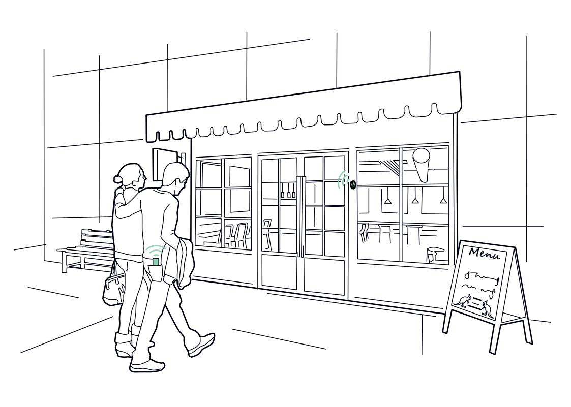 A nearby menu, by choiceRead more
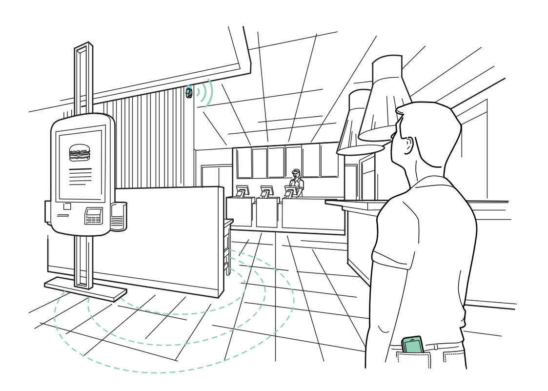 Find the next available kioskRead more
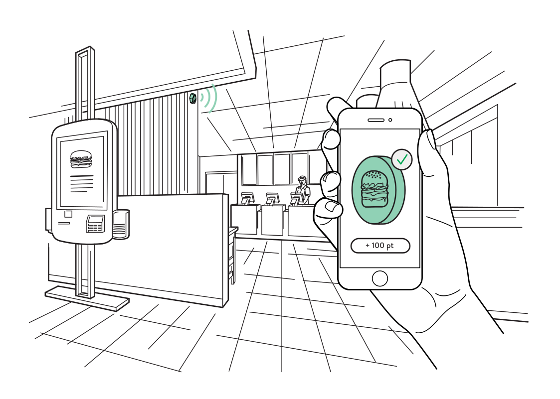 Connect a visit to a rewardRead more
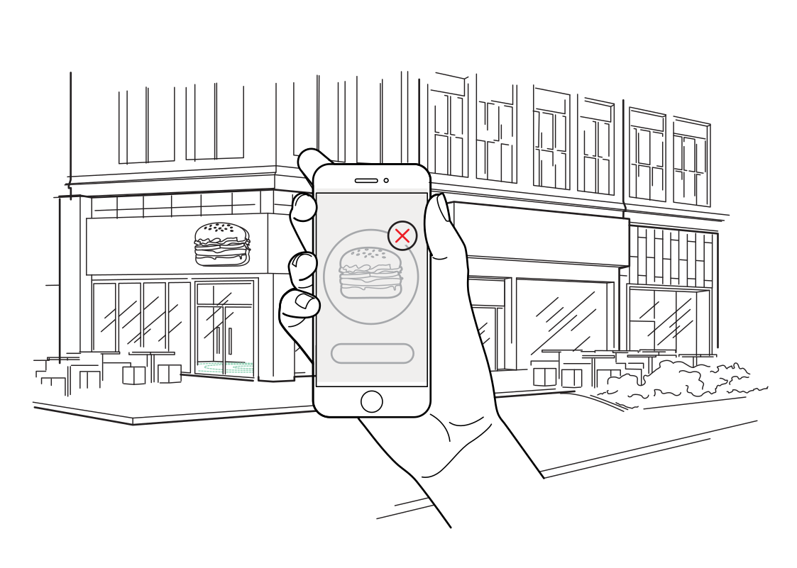 Keep nearby offers relevantRead more
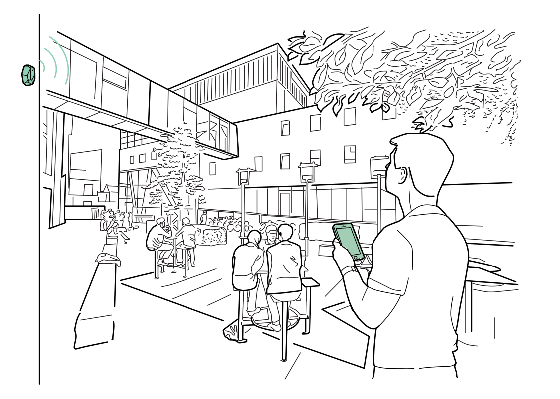 Find services across the venueRead more
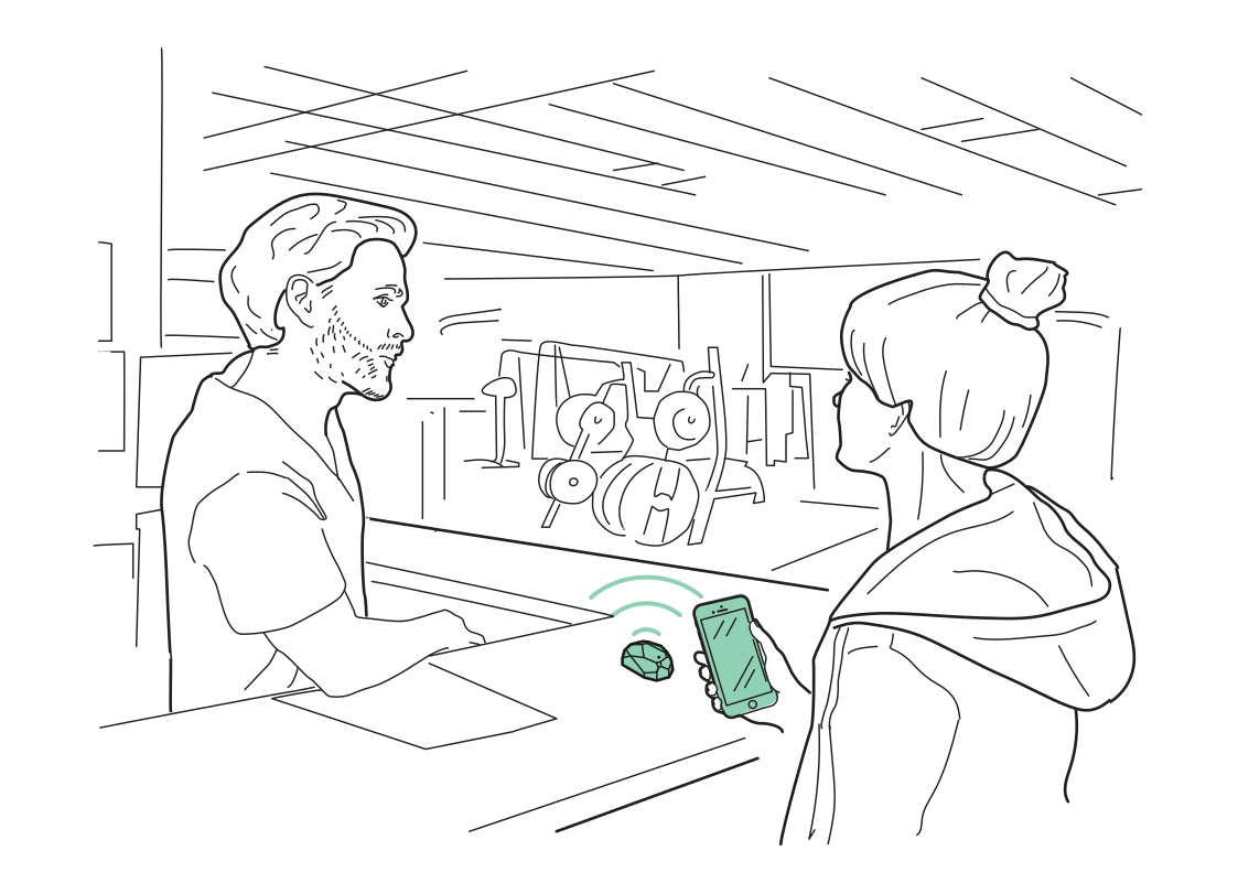 Start the museum visit smoothlyRead more
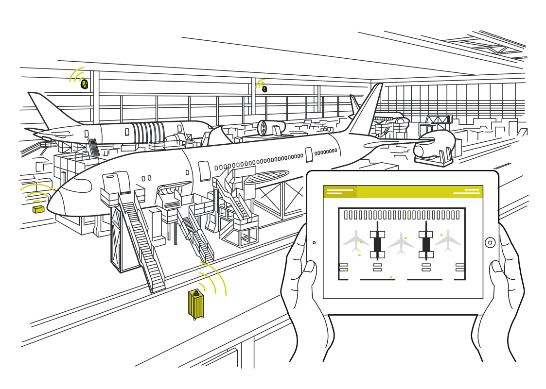 Coordinate the next turnaroundRead more
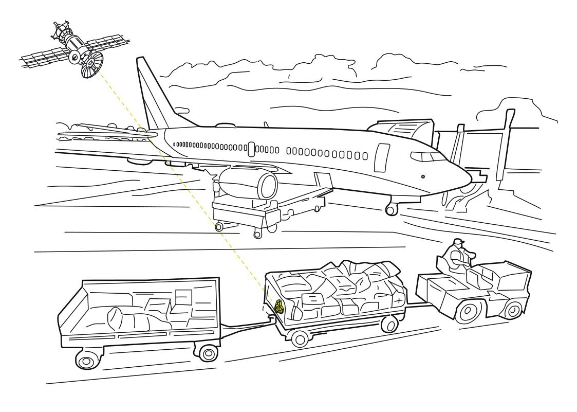 Follow the baggage cartsRead more
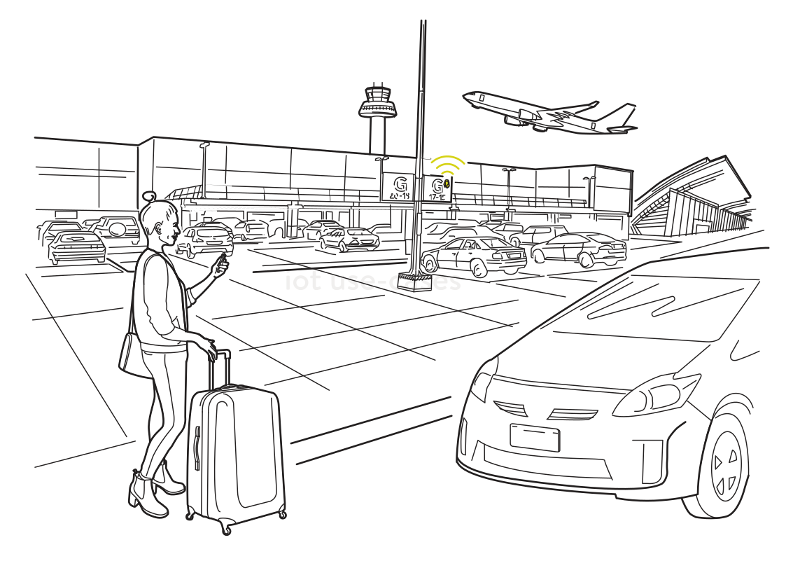 A route back after landingRead more
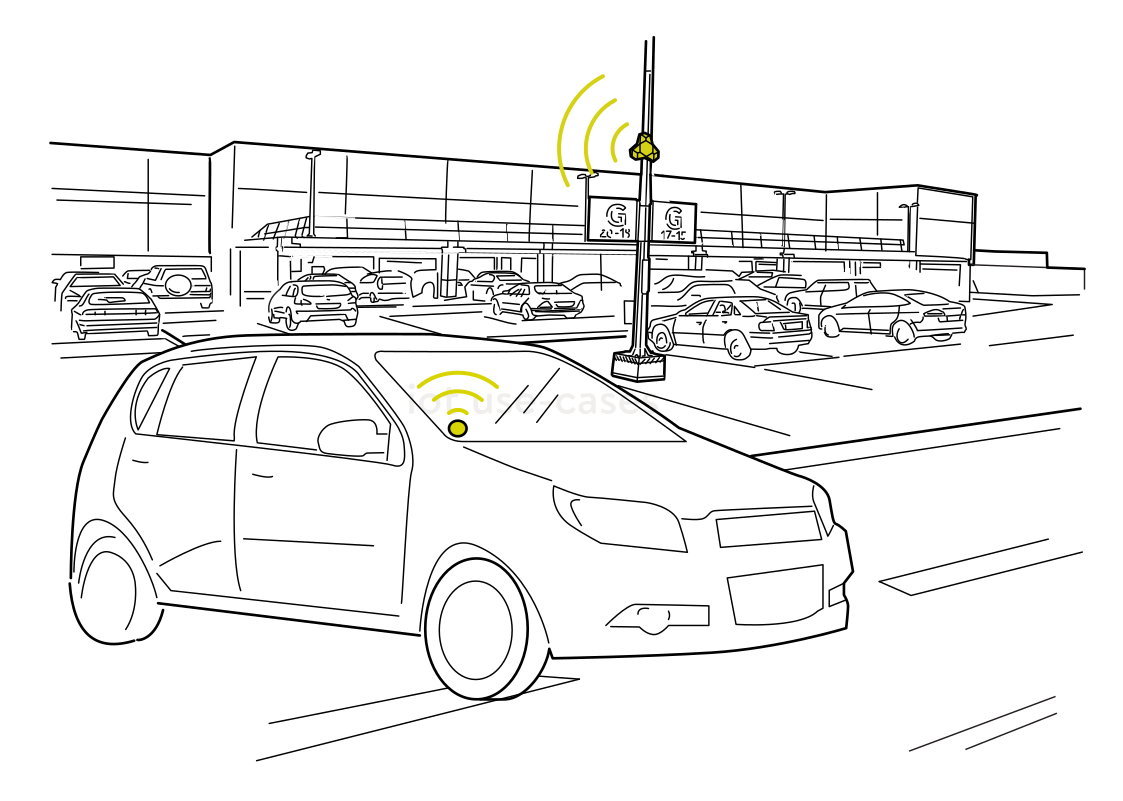 See activity in the parking areaRead more
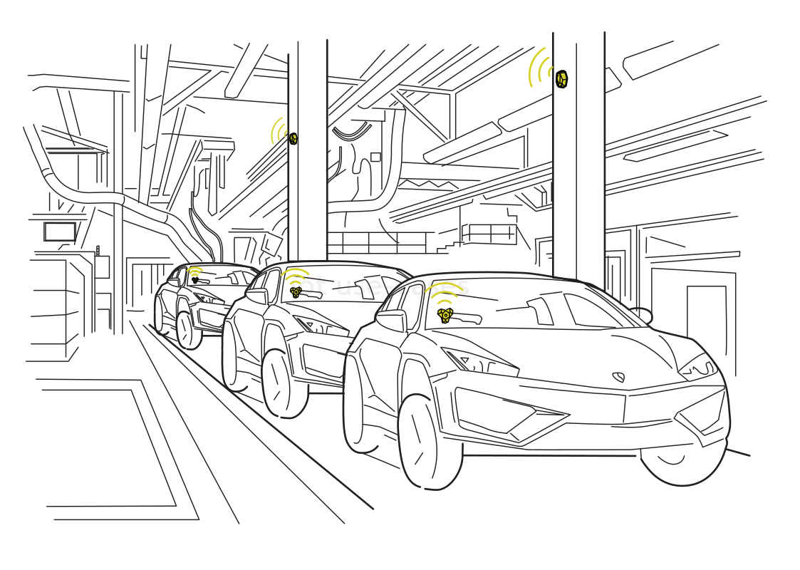 Find vehicles awaiting the next stepRead more
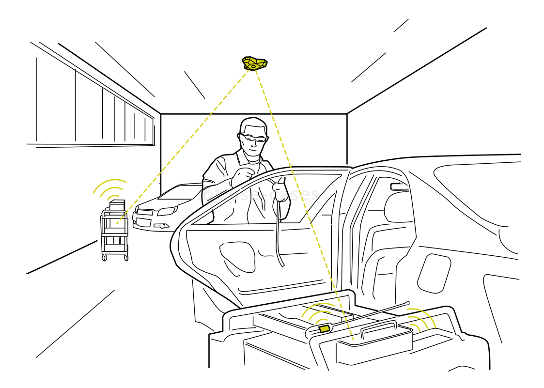 Keep parts with the jobRead more
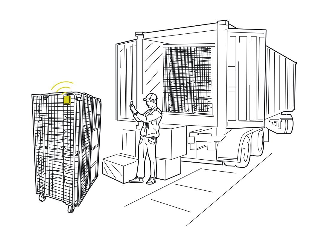 Know which cage is at the dockRead more
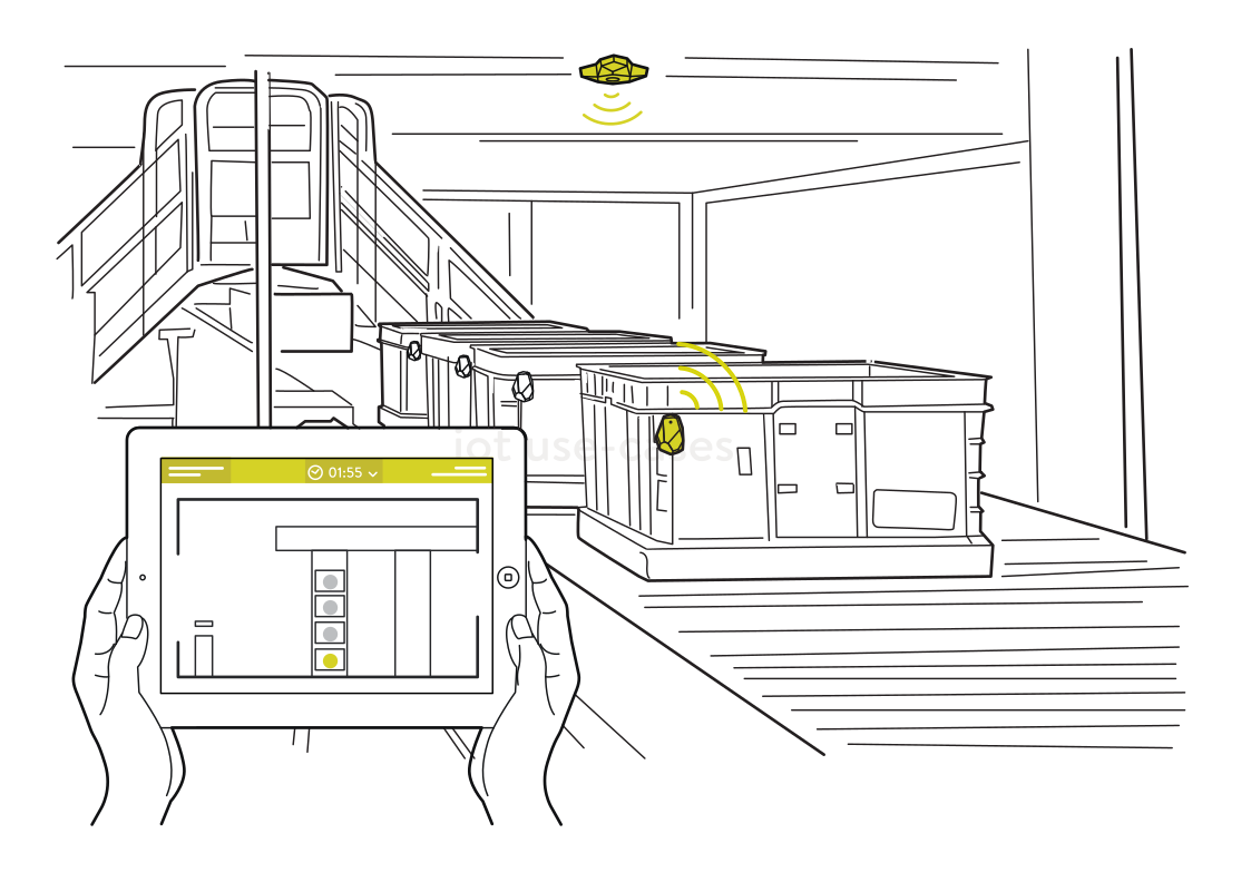 Follow crates through a processRead more
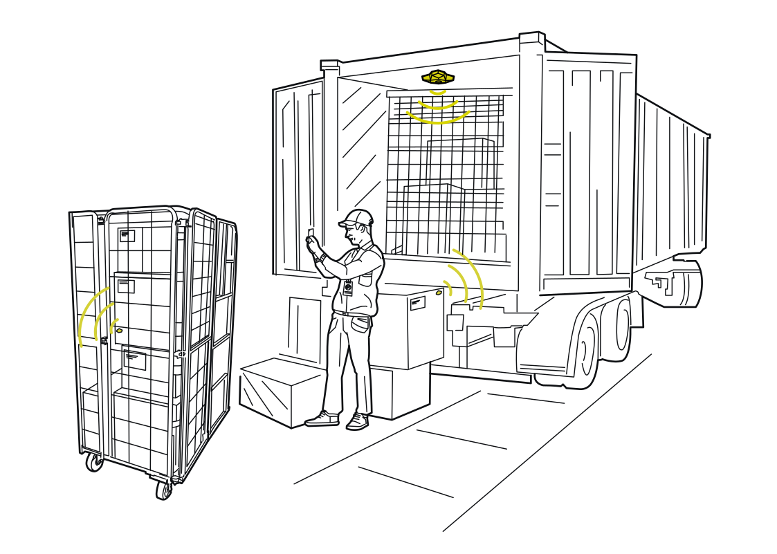 Connect loading to the shipmentRead more
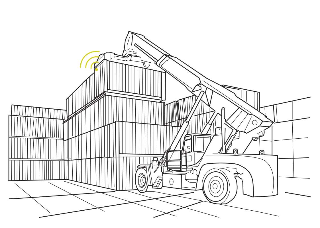 Find containers in the yardRead more
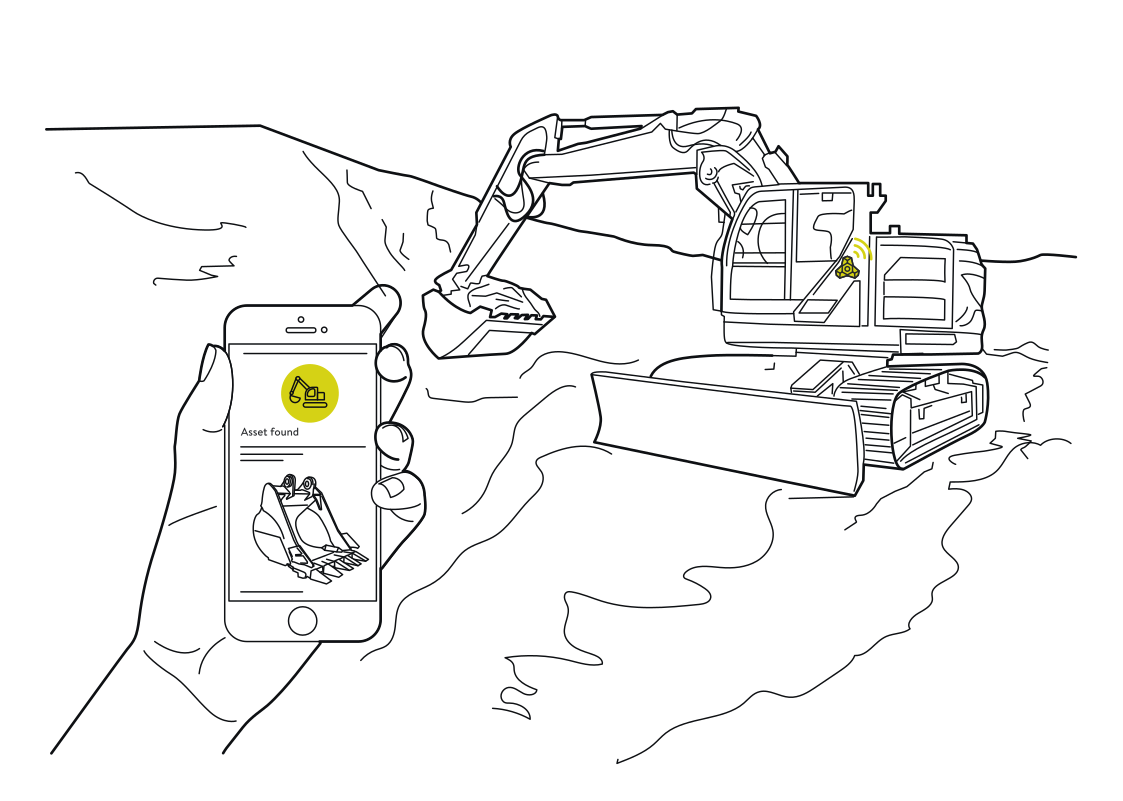 Find equipment on a changing siteRead more
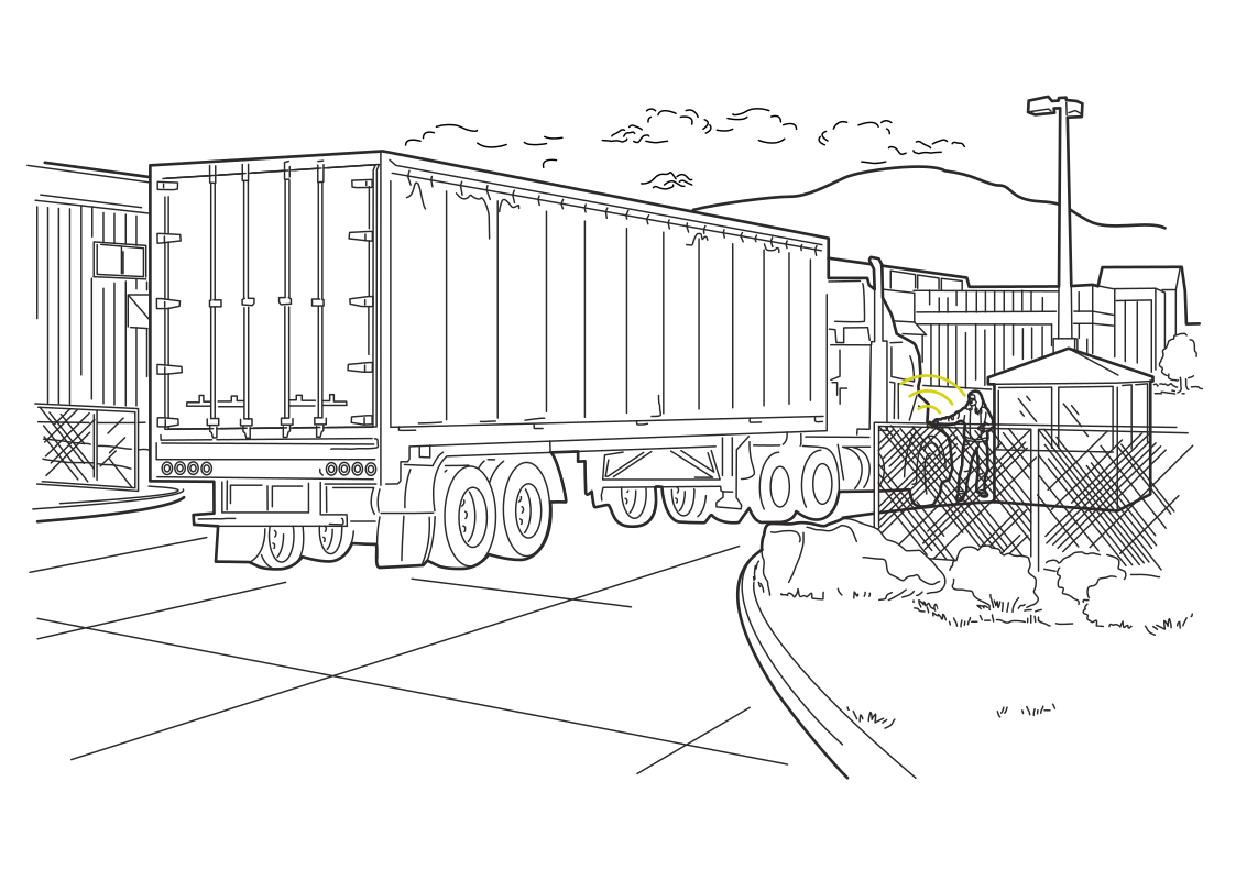 Know when a trailer arrivesRead more
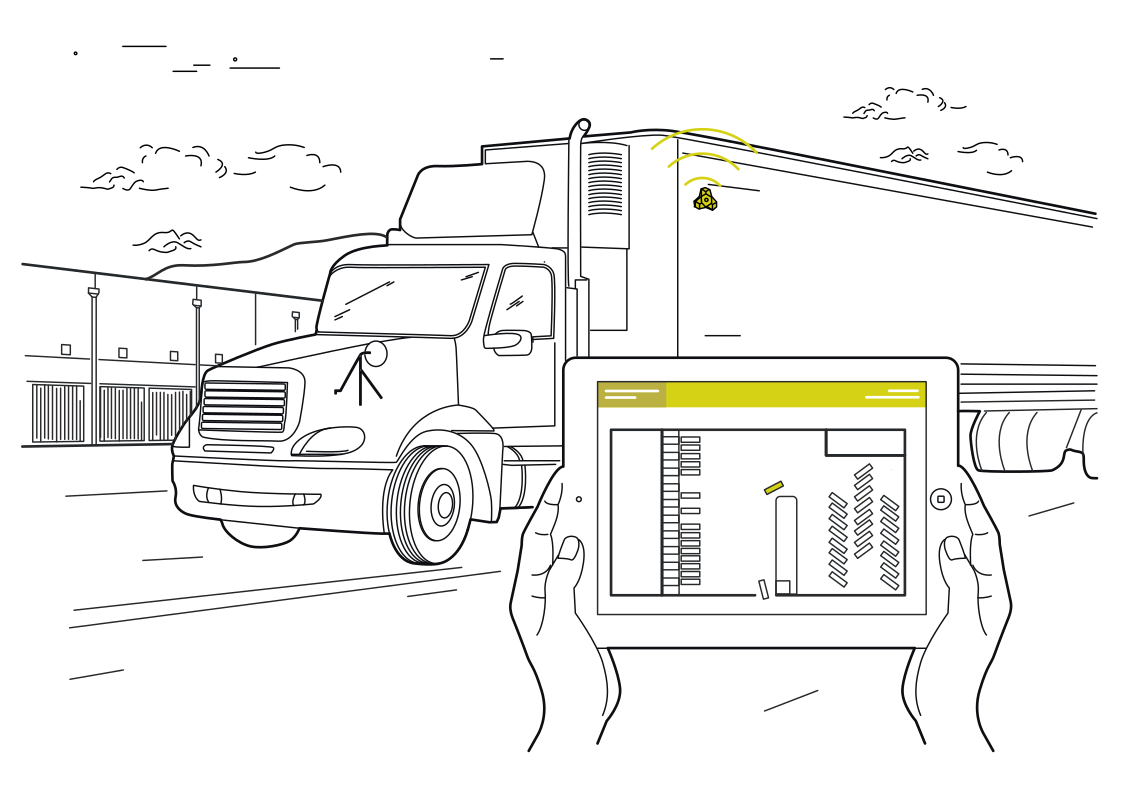 A yard view for dispatchRead more
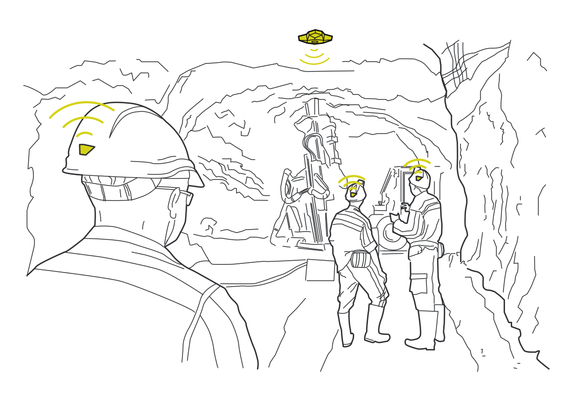 Check in across the work siteRead more
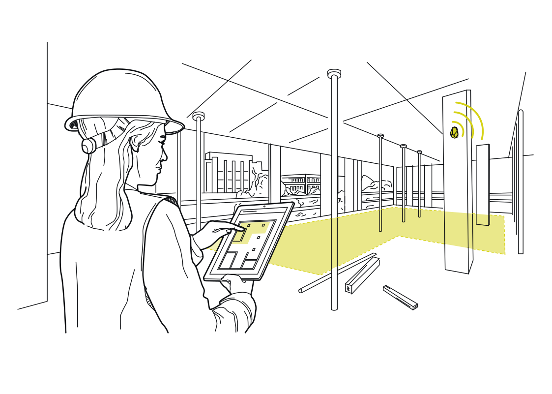 Put work zones on the site mapRead more
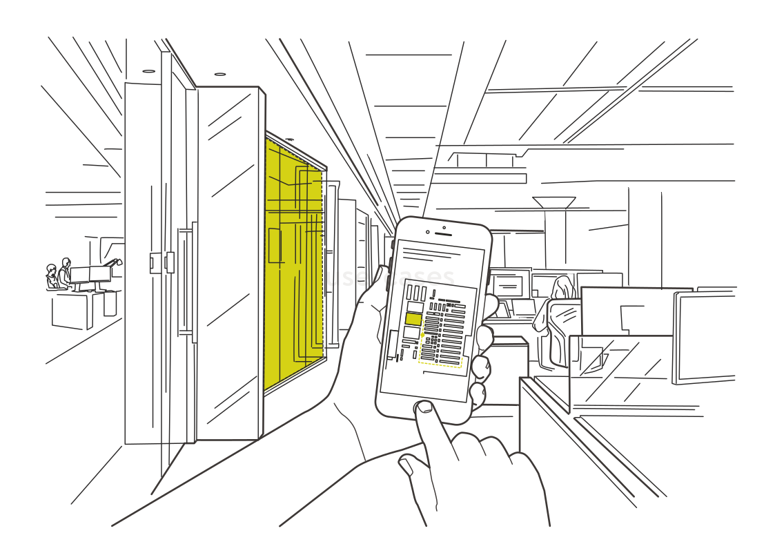 Find the meeting room doorRead more
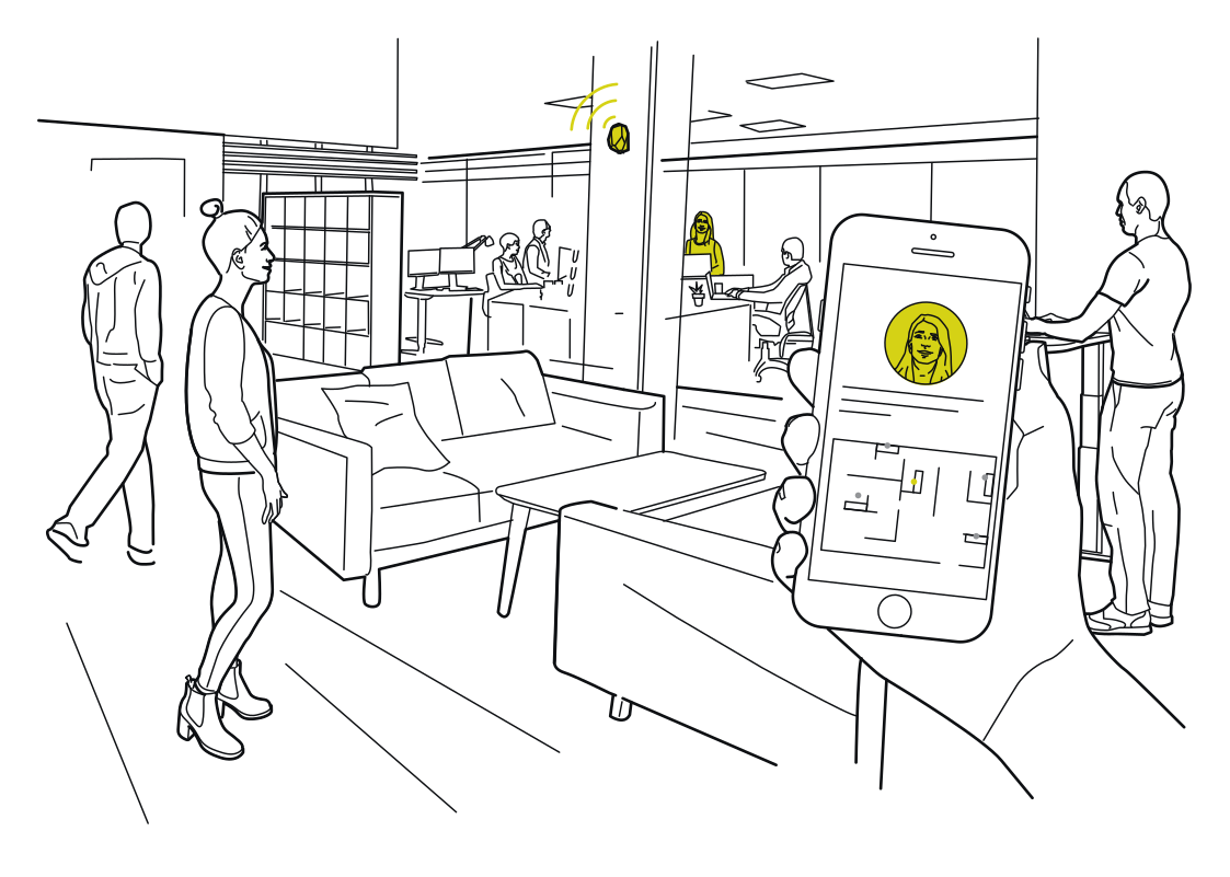 Meet a colleague more easilyRead more
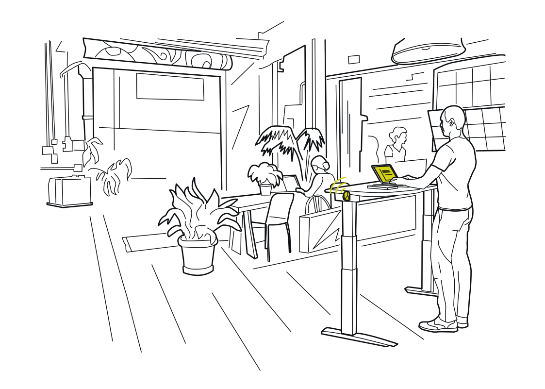 Make shared desks feel personalRead more
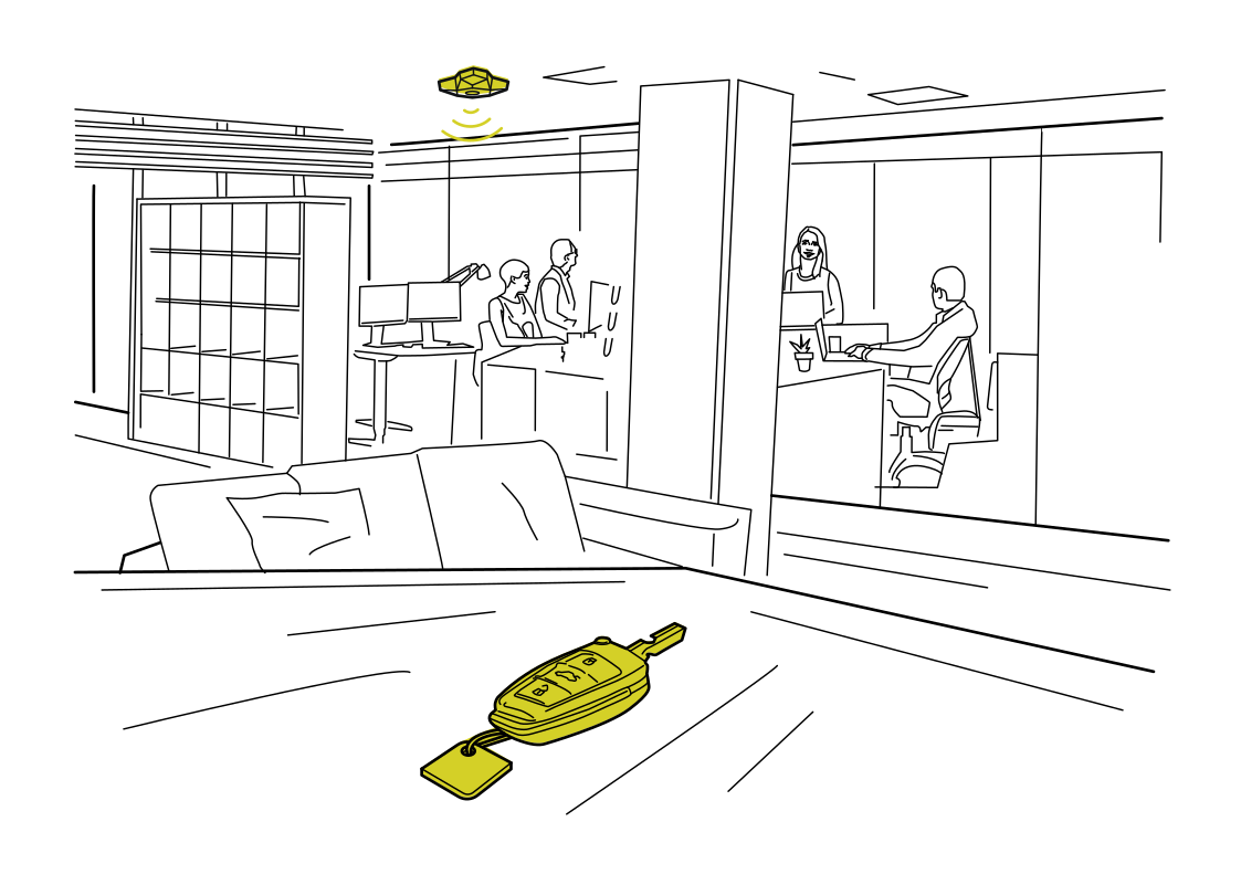 Find shared office essentialsRead more
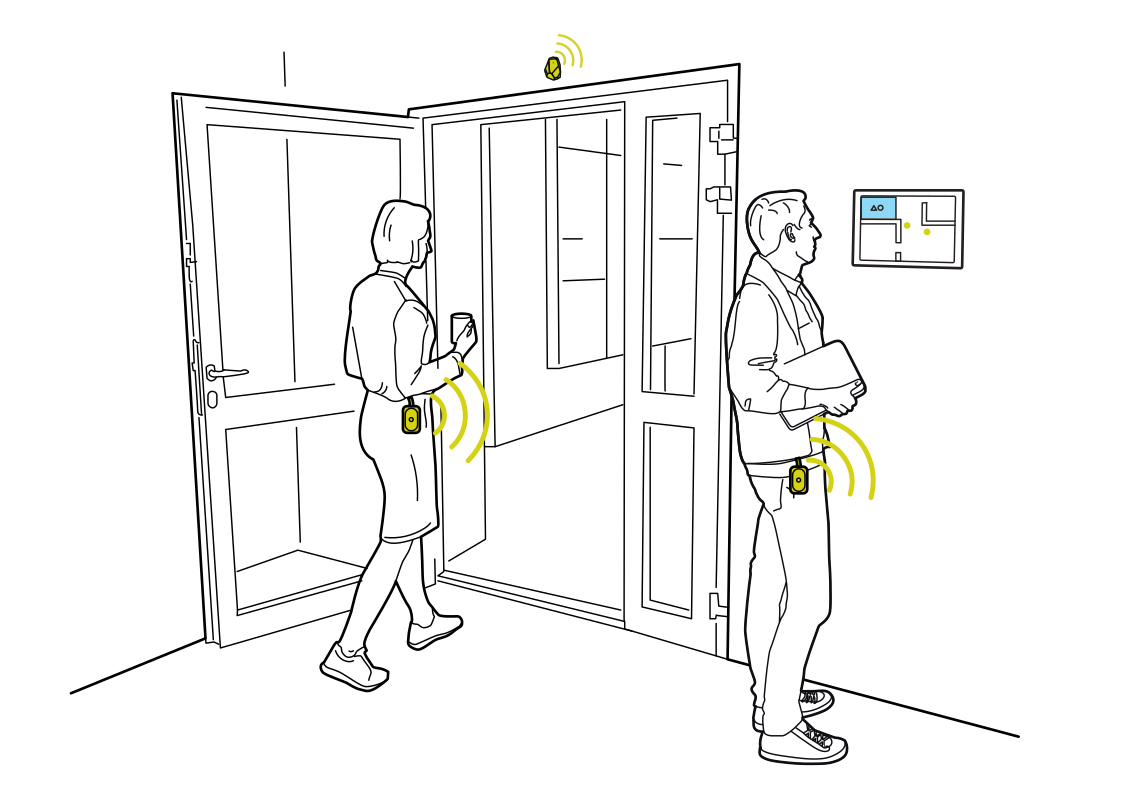 Turn an arrival into a check-inRead more
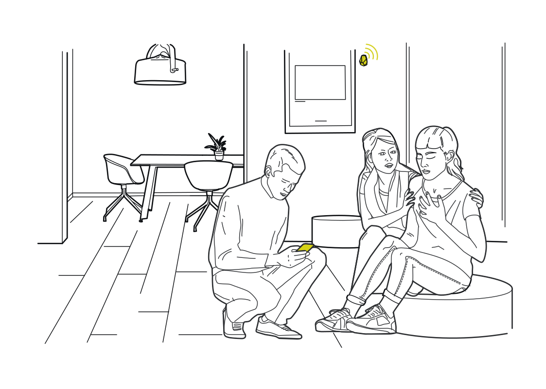 A living room that respondsRead more
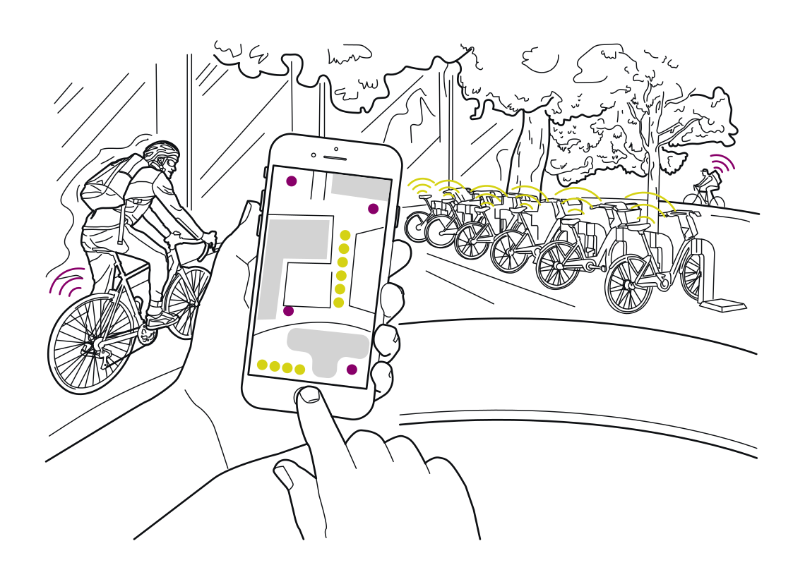 Find a bike for the next rideRead more
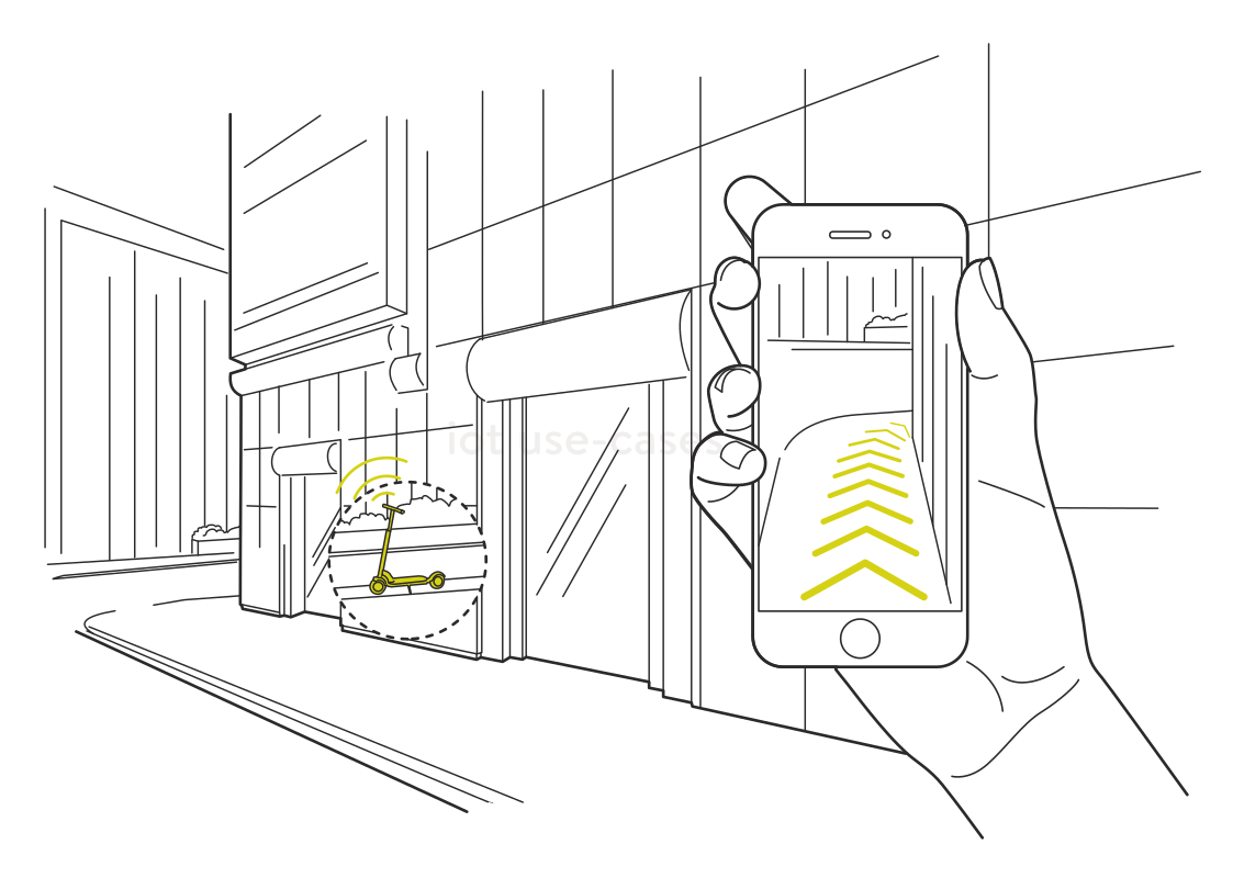 The last few meters to a scooterRead more
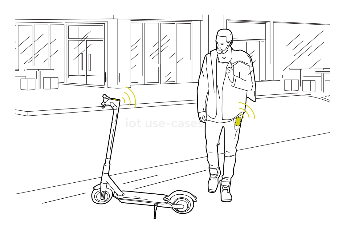 Recognize the scooter nearbyRead more
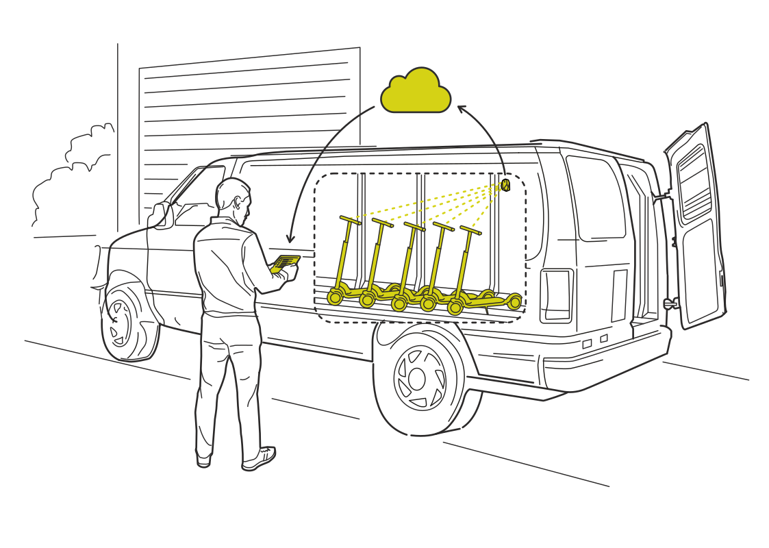 Keep the scooter fleet accounted forRead more
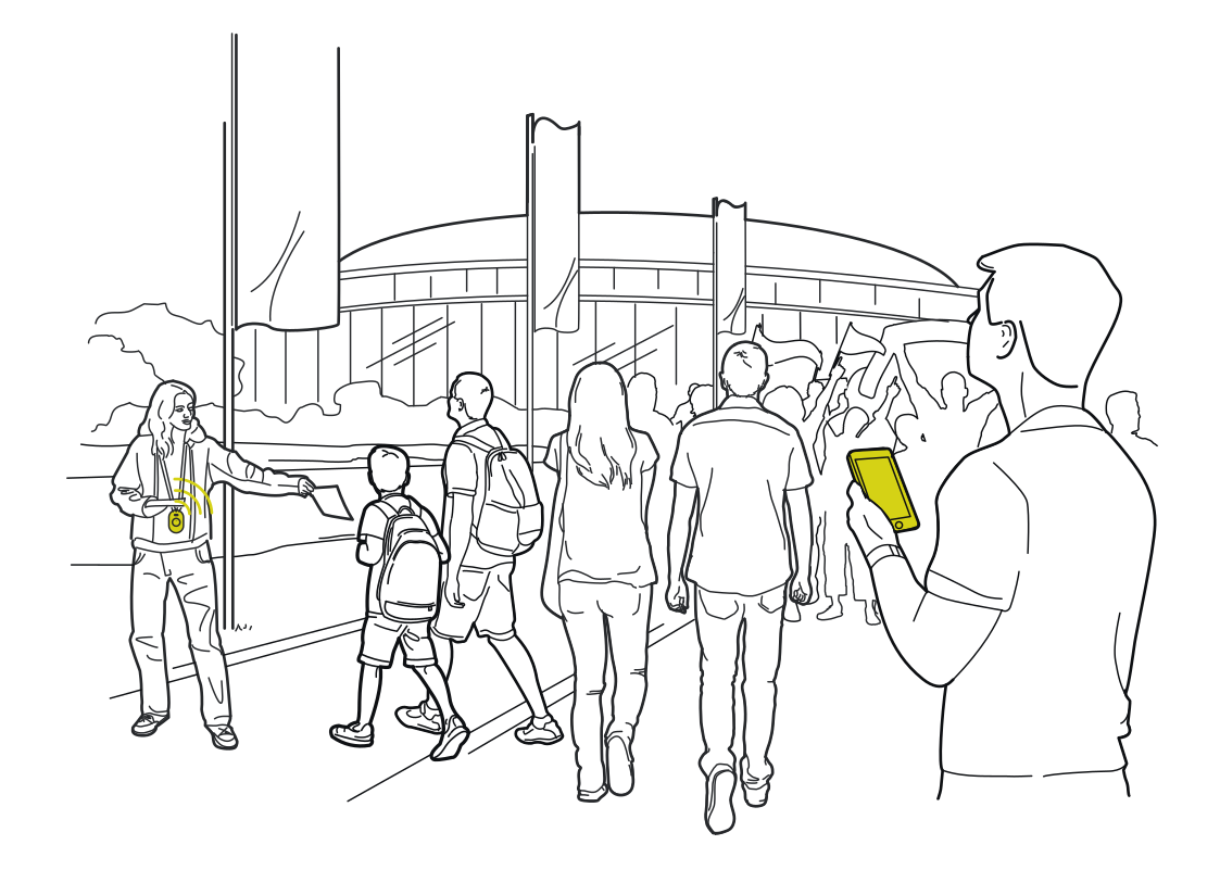 A smoother event entranceRead more
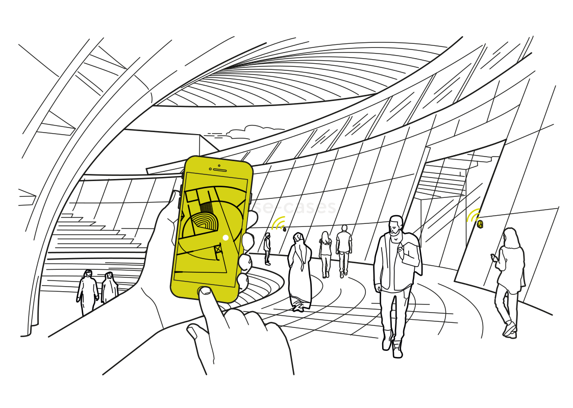 Find your way through the terminalRead more
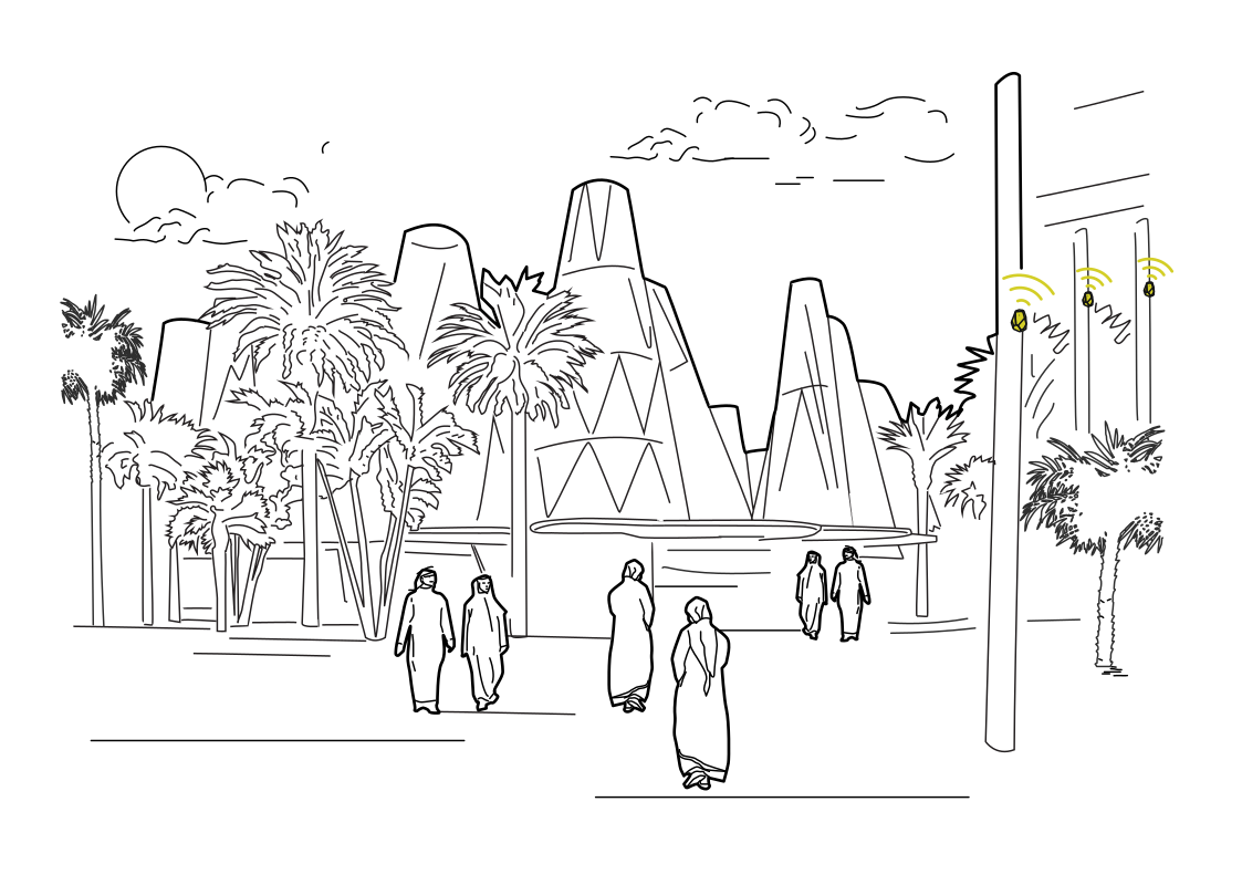 A guide to the places around youRead more
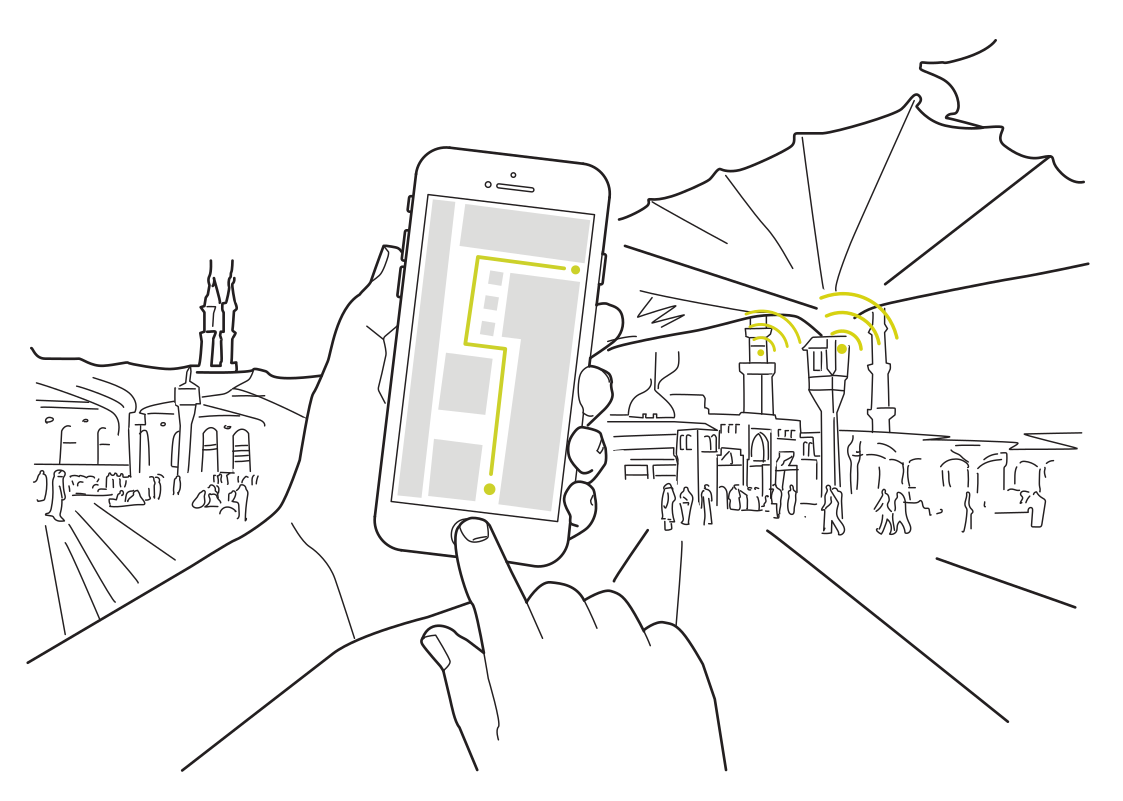 Find the next stop on your day outRead more
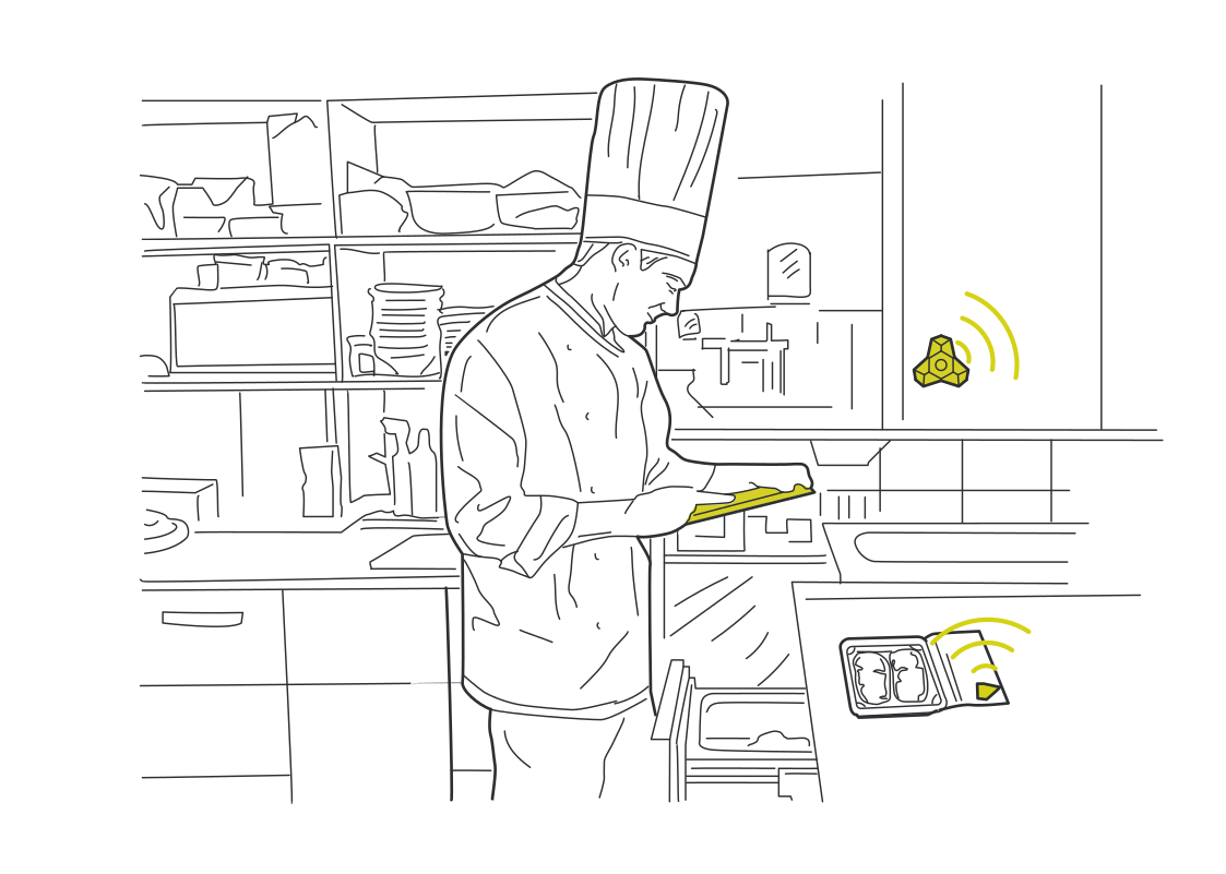 Keep kitchen stock within reachRead more
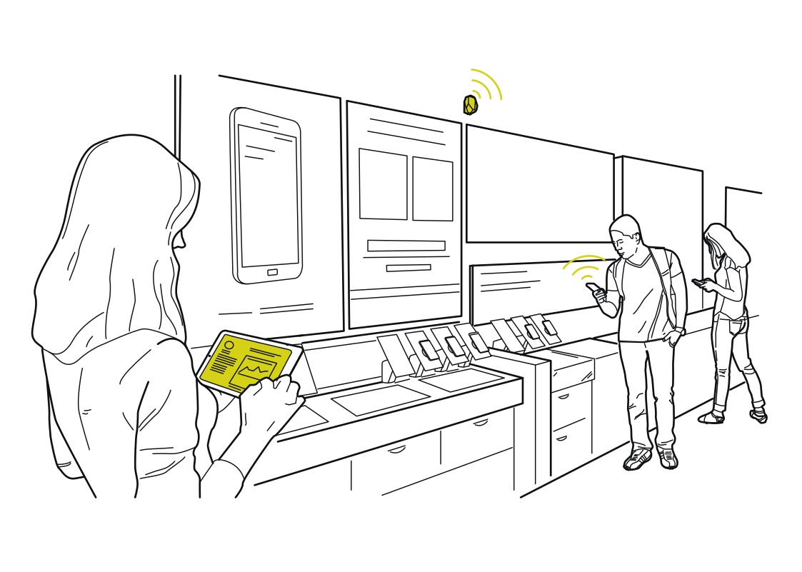 Learn what draws attentionRead more
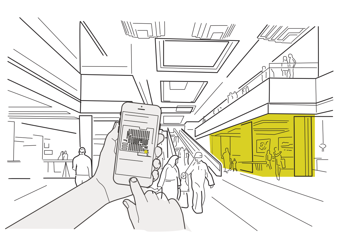 Find the store you came forRead more
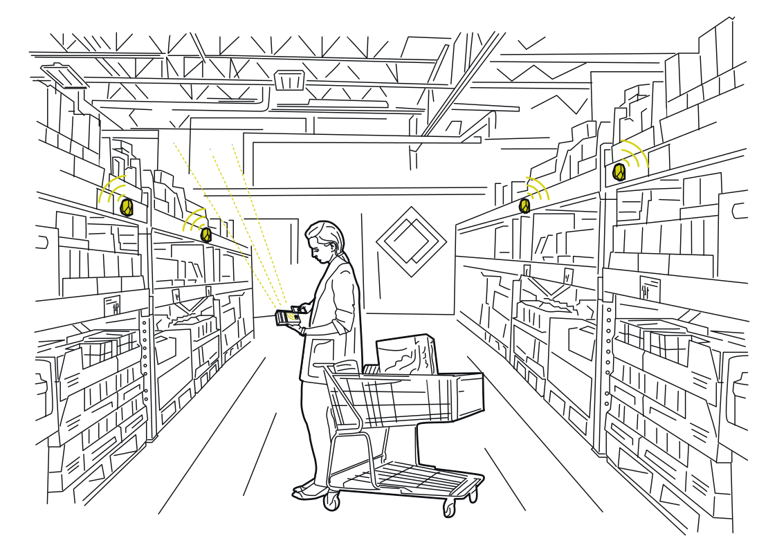 Guide shoppers to the shelfRead more
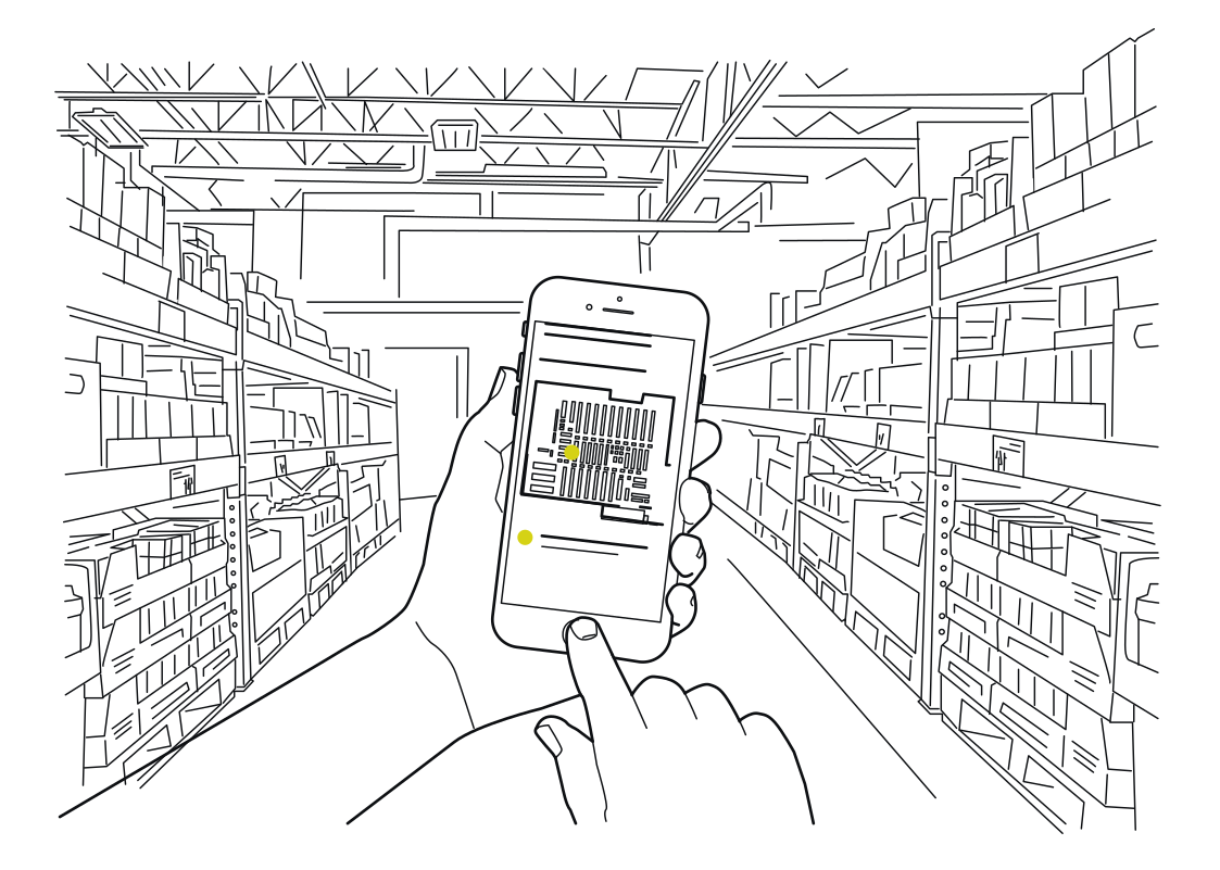 A route through the stockroomRead more
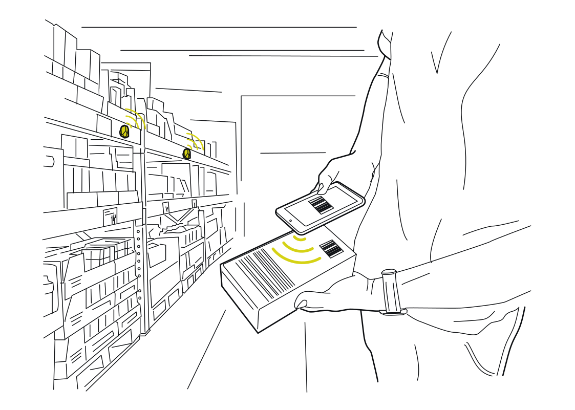 Give each scan a placeRead more
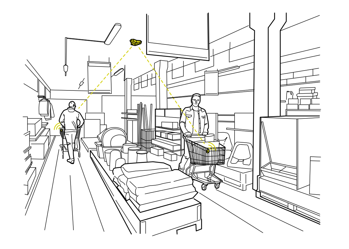 Understand routes through the storeRead more
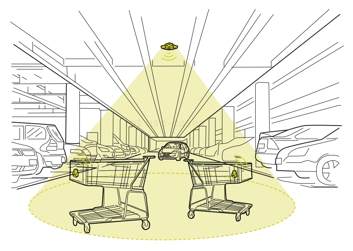 Find carts beyond the entranceRead more
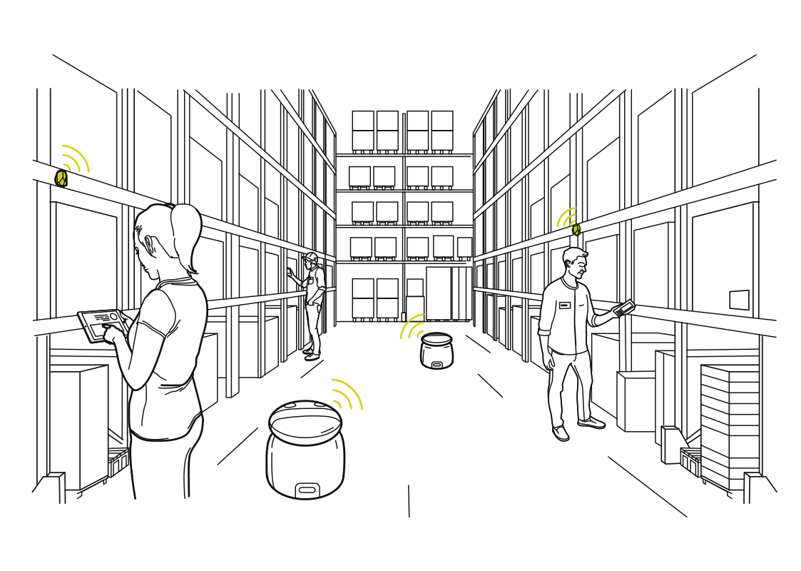 Location for people and robotsRead more
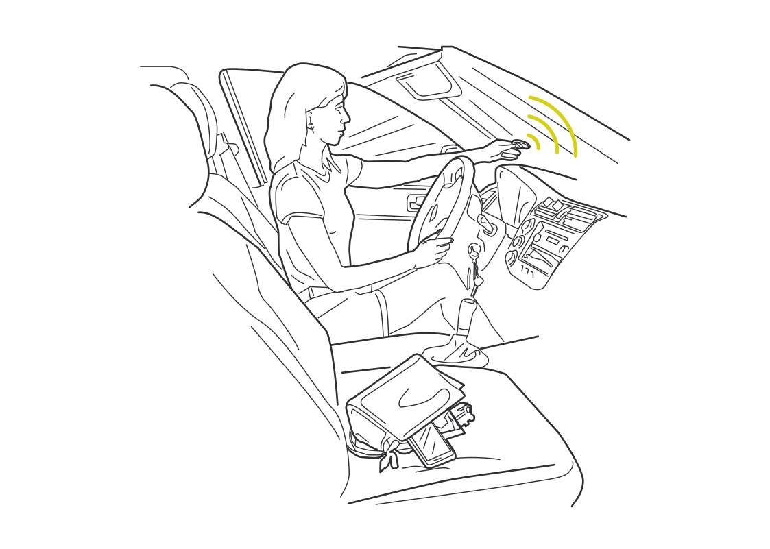 A car that recognizes the momentRead more
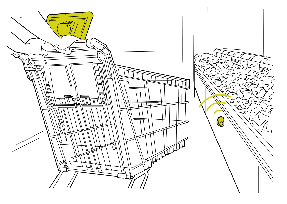 Helpful content on the cartRead more
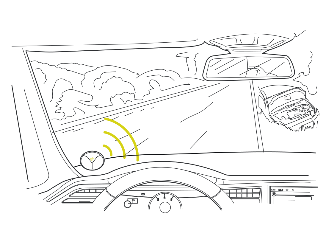 More context around moving vehiclesRead more
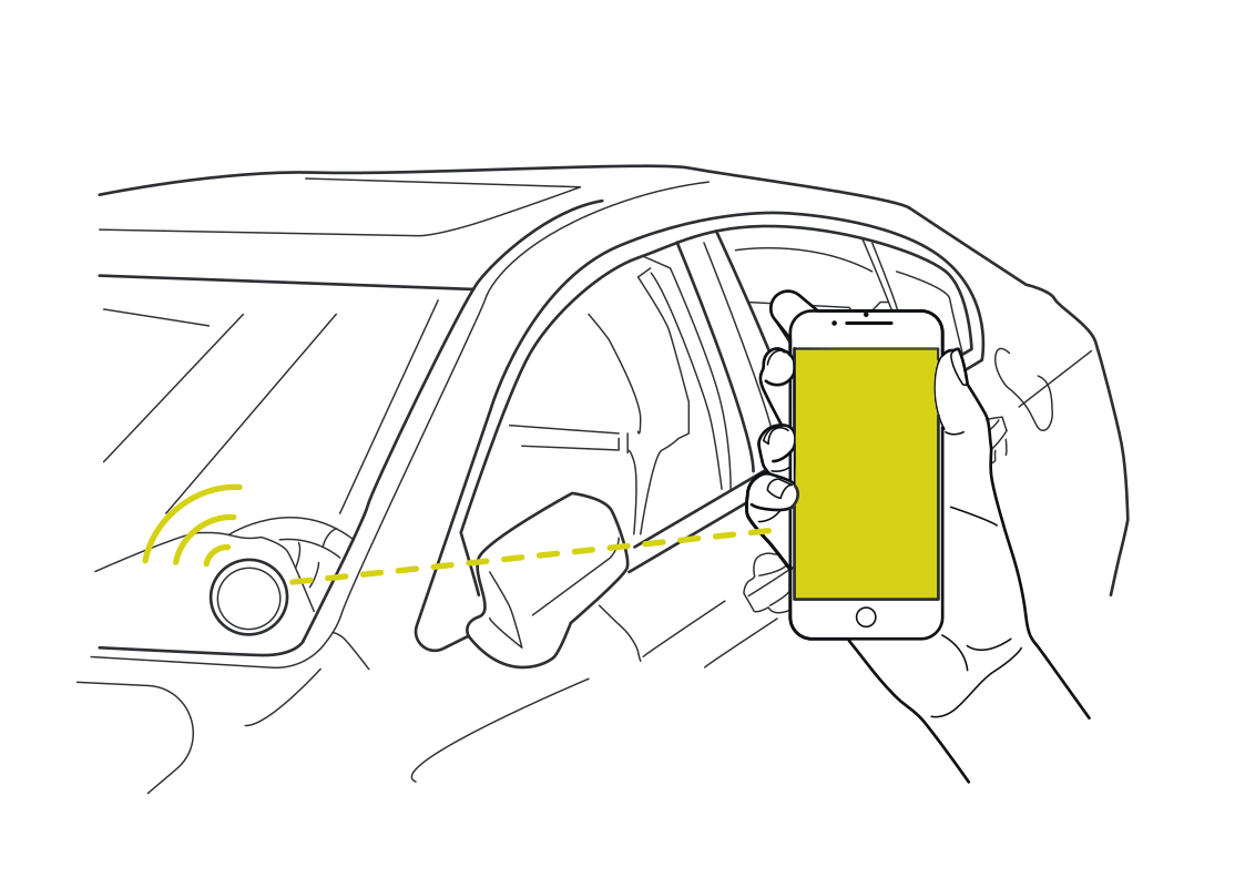 Connect proximity to car accessRead more
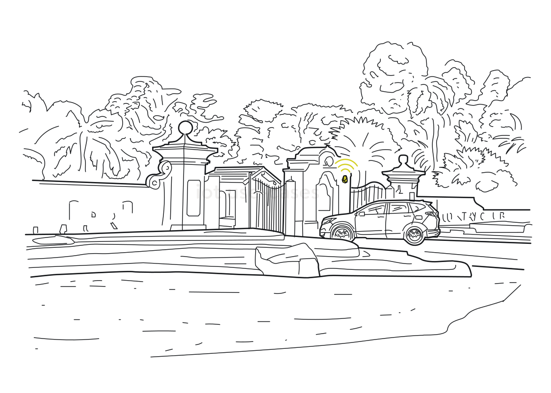 A gate that knows an arrivalRead more
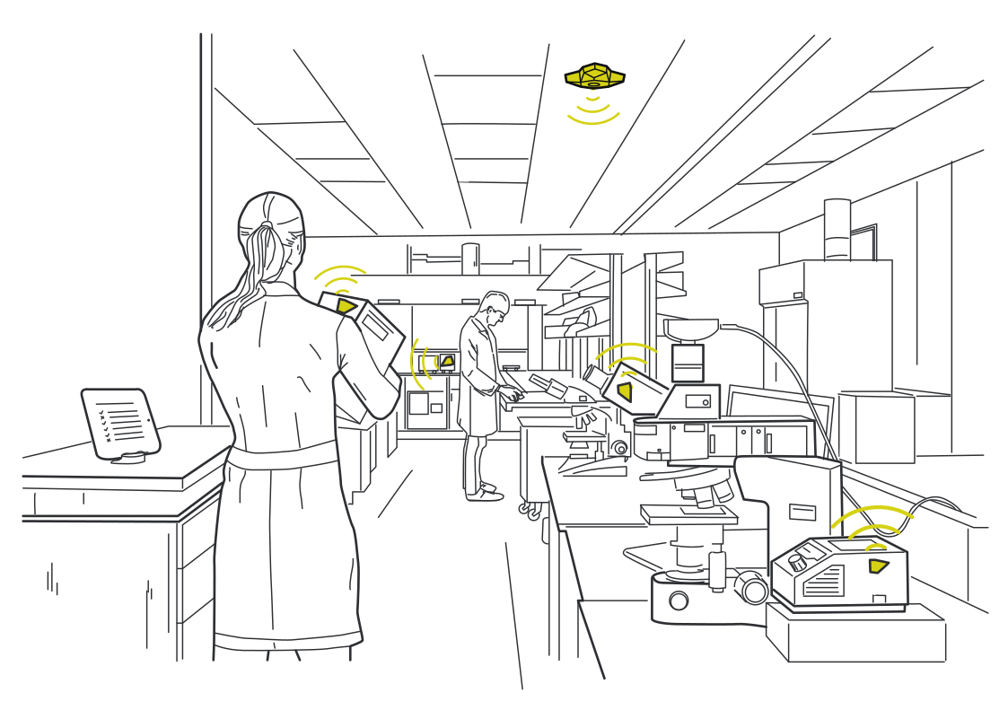 Keep shared instruments availableRead more
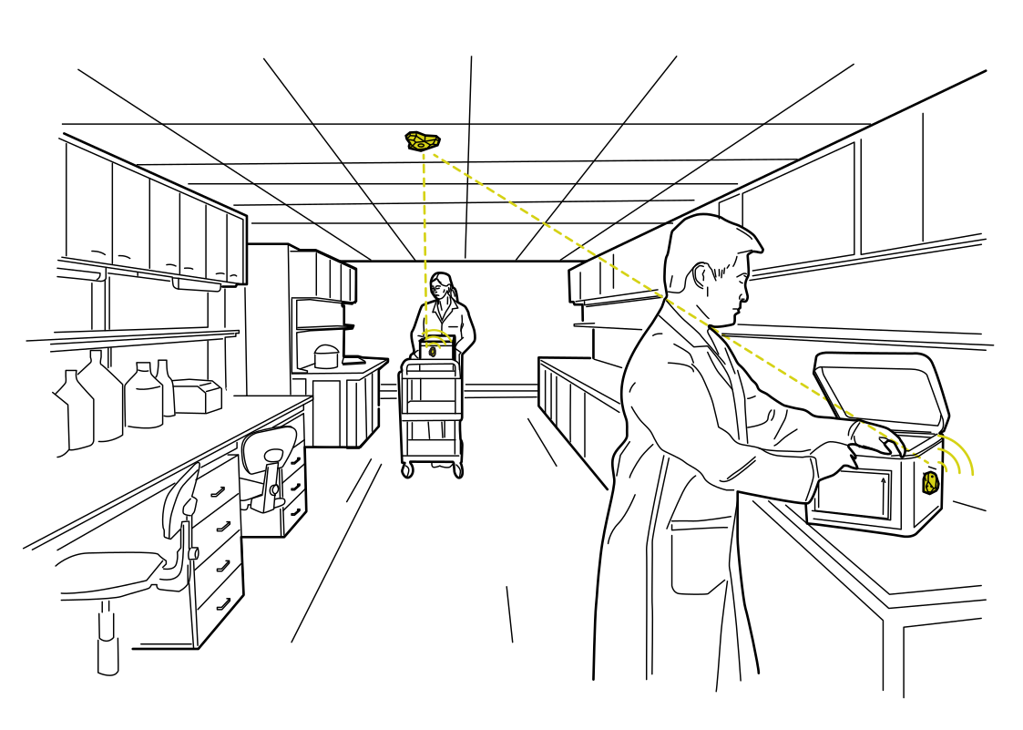 Track the kit between work areasRead more
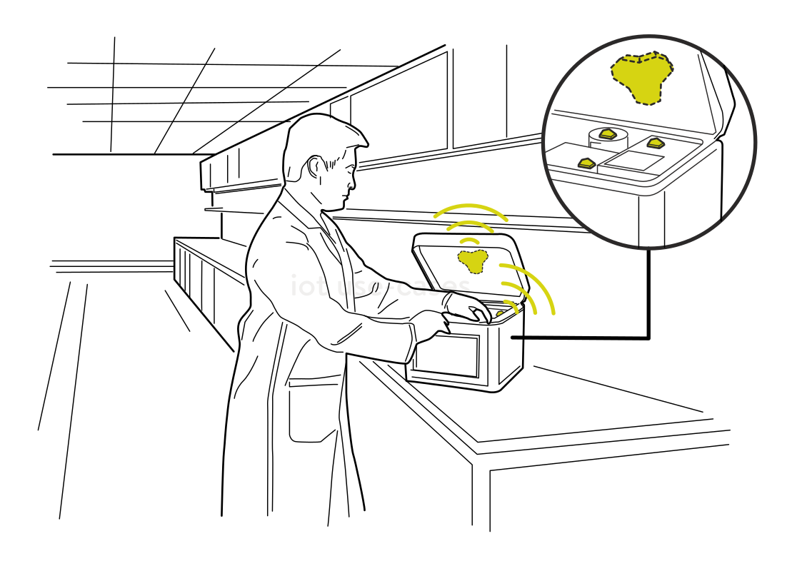 Make the case easy to findRead more
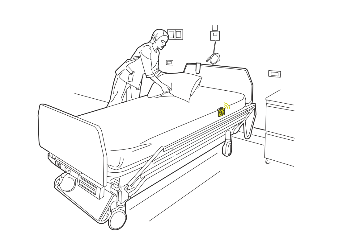 Know when a bed is readyRead more
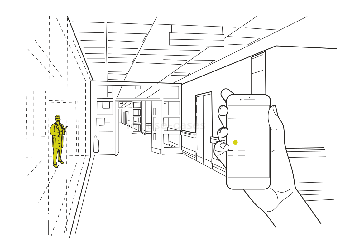 Meet at the right placeRead more
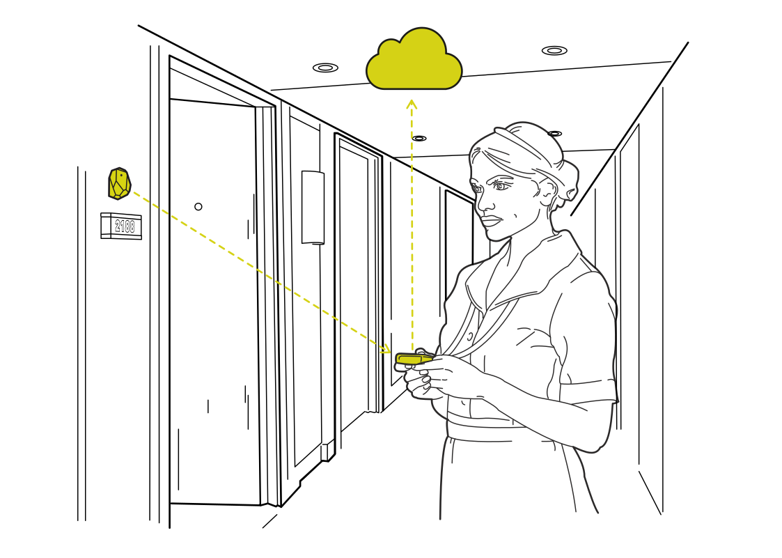 Record care rounds by roomRead more
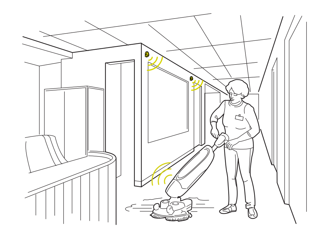 See cleaning progress by areaRead more
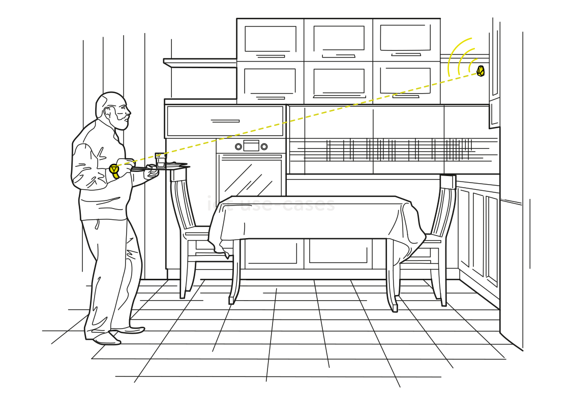 Make kitchen routines responsiveRead more
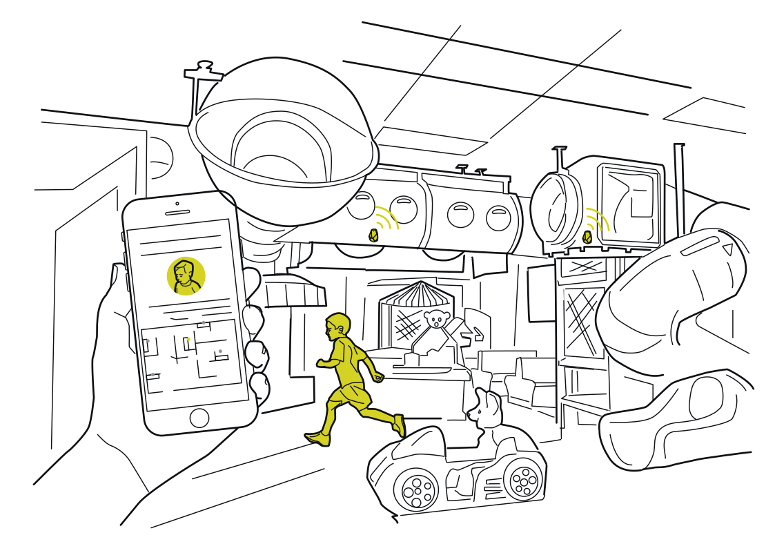 A meeting point in the play areaRead more
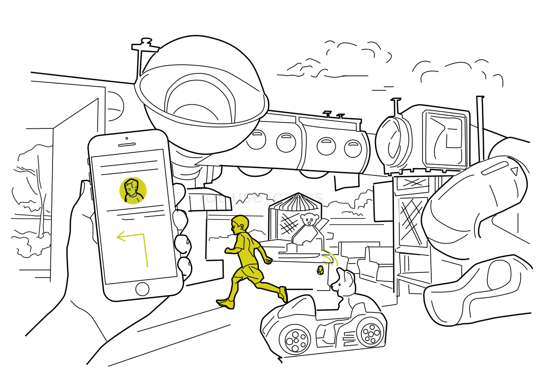 Find the way back togetherRead more
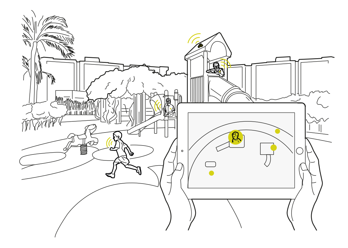 Coordinate activity at the playgroundRead more
 A check-in at the school busRead more
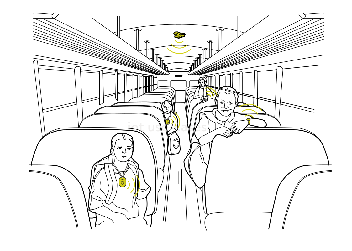 Assistance during the rideRead more
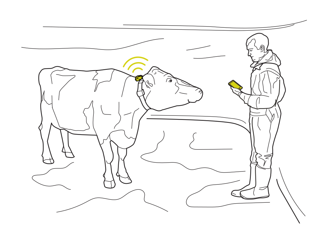 Recognize animals at care pointsRead more
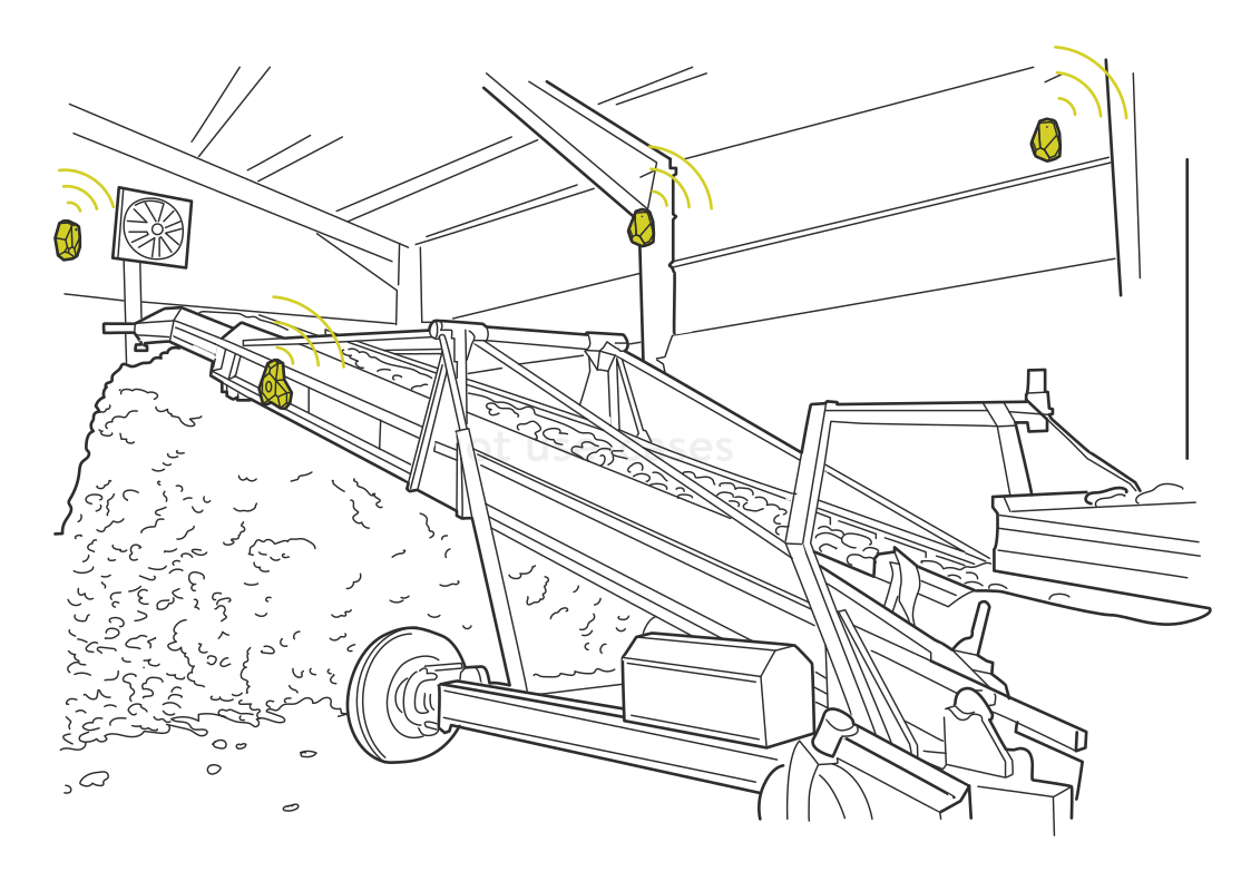 Find equipment around the farmRead more
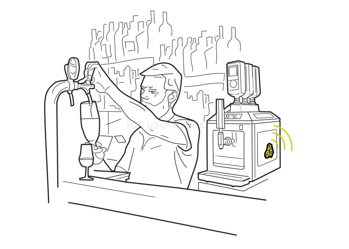 Keep service flowing at the barRead more
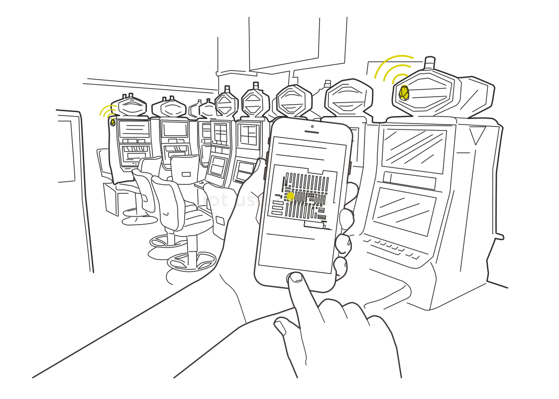 Find a machine or service pointRead more
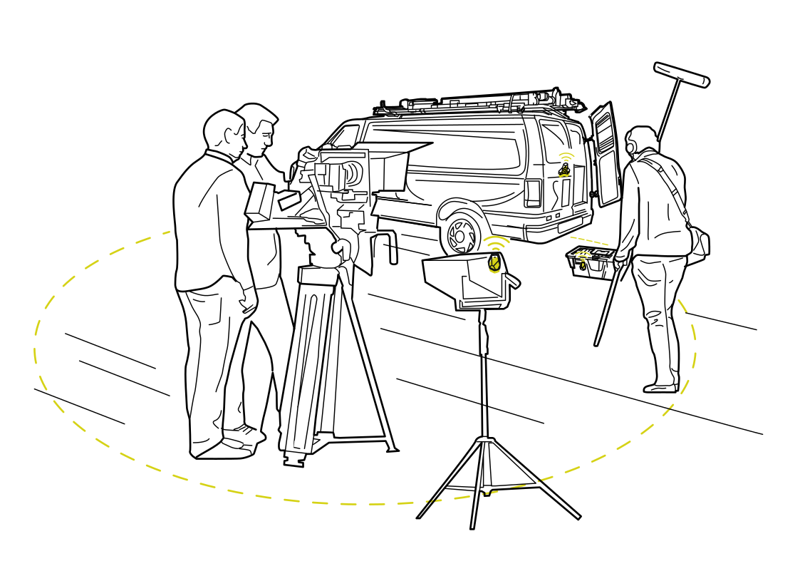 Keep the production kit togetherRead more
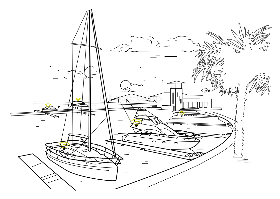 Find boats at the marinaRead more
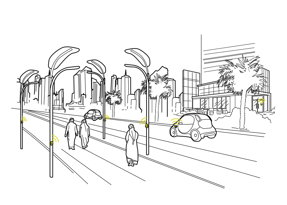 Connect services to street activityRead more
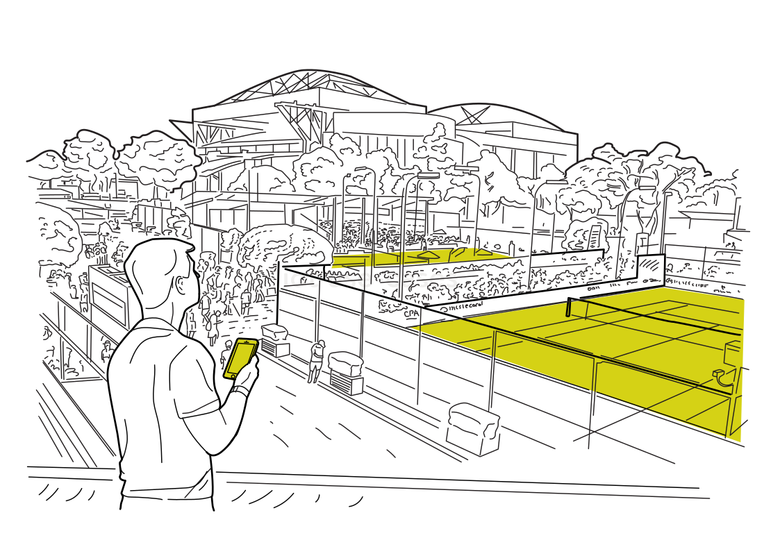 Find your court or seatRead more
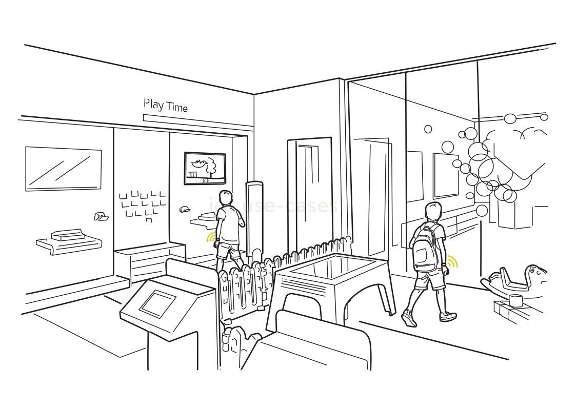 A check-in for supervised playRead more
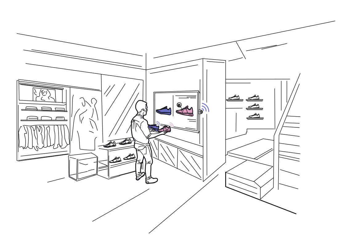 A display that helps you chooseRead more
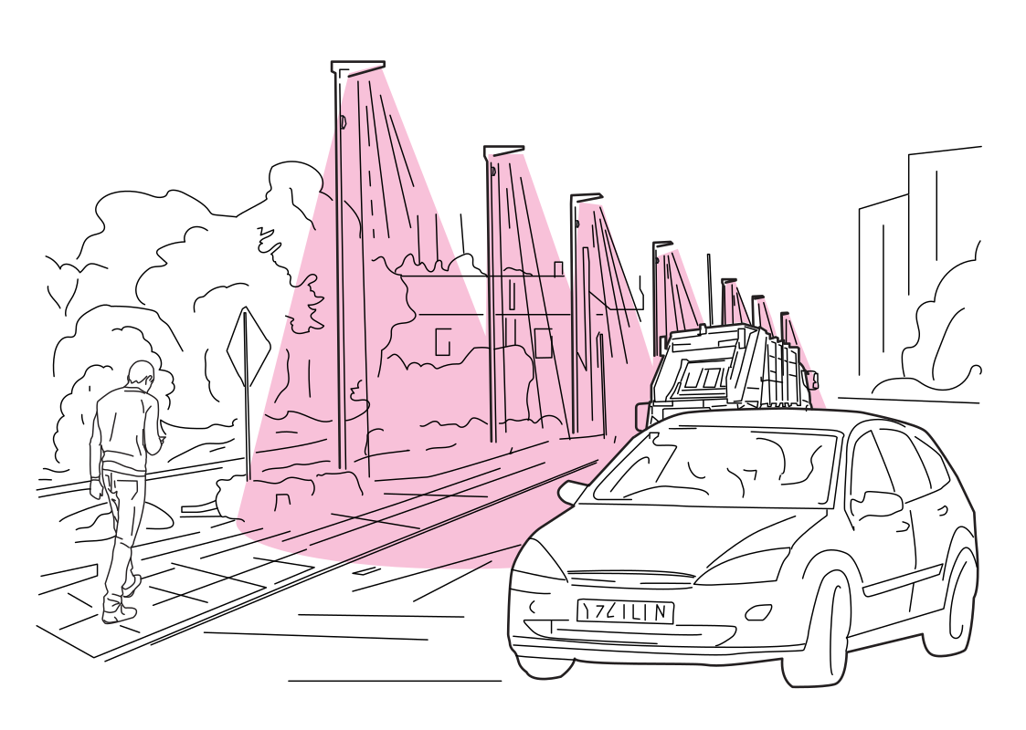 Understand movement along the roadRead more
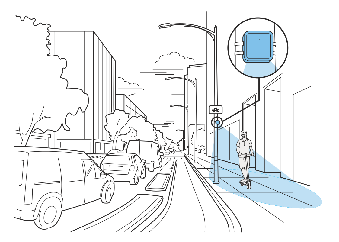 See how shared paths are usedRead more
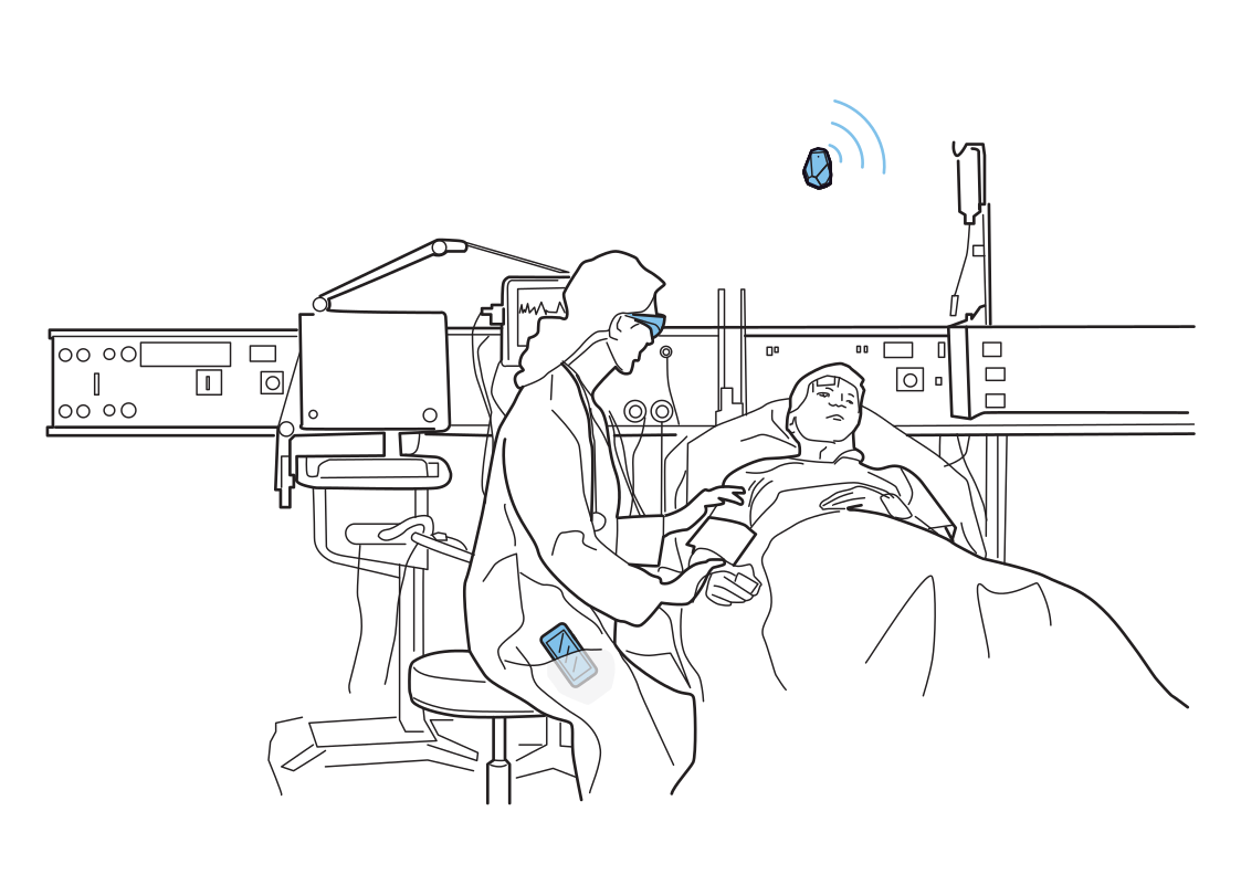 Support at the bedsideRead more
WIRELESS AI MESH
Once deployed, the anchor nodes communicate with one another wirelessly and map the space automatically, calculating their own coordinates. They upload the map to a cloud or on-premises server, depending on your configuration.
The server divides the space into DL-TDoA clusters. If passive sensing is enabled, selected anchors become Radar sensors.
All data streams to the server over MQTT, where the location-intelligence engine processes it and triggers relevant actions, applications, and workflows following deterministic scripts or prompts.
SpaceTimeOS is an operating system for your physical business, where the movement of people and things is an input and safety, productivity, intelligence or simply amazing magical experiences are the output.
PROGRAMMABLE PHYSICAL WORLD
You can write your scripts in JavaScript where things, avatars and zones are programmable. You can also write prompts and .md instructions that are processed when things change.
import { SpaceTime } from "@spacetime/behavior";

export default SpaceTime.behavior(({ zone, person, anonymous }) => {
  const patient = person({ role: "patient" });

  zone("waiting-area", ({ onOccupancy, onDwell }) => {
    onOccupancy(4, "1m", patient)
      .notify("Waiting Area remains over capacity.");

    onDwell("5m", patient)
      .notify("A patient has been waiting unusually long.");
  });

  zone("clinical-supply", ({ onEnter }) => {
    onEnter(anonymous())
      .notify("Anonymous presence detected in Clinical Supply.");
  });
});watch the waiting area and restricted clinical supply zone
send a push notification to staff if the waiting area stays over capacity
do it also when a patient has been waiting unusually long
send an alert to staff when anonymous presence is detected in the clinical supply room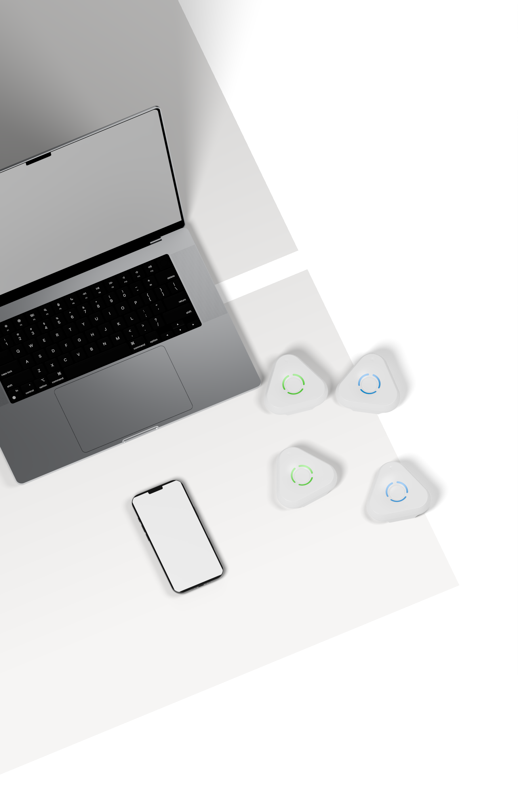
Start by ordering our Dev Kit. It has enough anchors to cover one room and you can test everything on a small scale first.
FREQUENTLY ASKED QUESTIONS
SpaceTimeOS is an operating system for physical spaces. It combines hardware, software, APIs, and SDKs to digitize a building, understand how people and things move, and make real-world operations programmable and intelligent.
SpaceTimeOS is a full real-time location system for people, equipment, assets, and vehicles. It can display their positions, preserve their movement context, and let you program interactions between them and the physical environment.
SpaceTimeOS provides APIs for accessing generated location and sensing data. You can send that data into existing business systems, analytics tools, automations, dashboards, or your own machine-learning and inference models.
Anchors communicate with nearby nodes and calculate their relative coordinates. SpaceTimeOS uses those positions to reconstruct the floor plan, while guided setup lets you confirm the layout before it becomes the digital map.
Geofences are software-defined zones, so you can move, resize, add, or remove them without relocating anchors. Their rules or prompts can be updated whenever the behavior of the physical space needs to change.
You can create apps and widgets that visualize activity in your space, then define rules or agents that watch physical operations and trigger actions when people, assets, or vehicles move and interact—all from one interface.
Install Estimote anchors and sensors, then follow the guided setup flow. It helps recreate your floor plan, map the devices, and begin locating people, assets, and vehicles so you can define digital rules and build a digital twin.
SpaceTimeOS can be hosted by Estimote or deployed in your private cloud environment. Our business and deployment teams can help select the appropriate architecture and provide the services required for a private instance.
Precise UWB positions and privacy-friendly radar observations can flow into the same location-intelligence engine. Applications can combine identified devices with passive presence and movement detected in the surrounding space.
You can begin experimenting with a single radar sensor. For a more complete room-level experience, use at least four additional devices so SpaceTimeOS can map the room and combine precise positioning with passive sensing.
A person or asset entering a geofence, moving through a room, or interacting with another object can trigger an action. Rules or prompts can then launch apps, workflows, alerts, and other responses.
APIs and MQTT streams can feed dashboards, business systems, automations, and machine-learning pipelines. Your software can consume location events or send instructions back through integrations built for your workflow.
Dashboards and custom widgets can show live positions, movement paths, geofence events, sensor activity, and operational KPIs. Teams can tailor those views to safety, productivity, and customer-experience goals.
Location events, movement paths, and sensing data can feed your machine-learning pipelines through APIs or MQTT. Precise UWB positions can also provide useful ground truth when developing and validating custom models.
SpaceTimeOS turns movement into measurable events, alerts, and automated actions. Teams can use live context and KPIs to improve safety, reduce wasted time, streamline workflows, and create more responsive customer experiences.



Estimote, Inc. was founded in 2012 by Jakub and Lukasz with a bold vision and a passion for creating an operating system for the physical world.
After graduating from Y Combinator in 2013, Estimote launched its first-generation indoor location products based on Bluetooth and iBeacon. Their iconic design captured developers’ imaginations, opening the door to experiments with micro-location and contextual computing.
Estimote went on to deploy millions of sensors and tags worldwide, powering the largest commercial deployment of location technology at the time. Years of working across real spaces and operations gave the team firsthand knowledge that shaped every generation to follow, including LTE Wearables and more precise UWB positioning.
In 2022, Estimote introduced the first version of SpaceTimeOS, bringing its original vision to life: making the physical world software-defined and programmable. Developers can build apps and automations directly on physical spaces to improve safety and productivity and deliver delightful experiences that feel like magic.
Today, Estimote is extending that vision with a new release of SpaceTimeOS and is first to offer Downlink TDoA Anchors for precise, privacy-friendly indoor positioning, alongside UWB Radar for sensing presence and movement.
With Estimote, you get the latest tech backed by more than a decade of practical experience and a clear vision for what comes next.
